Research Infrastructure
The HJ Andrews Experimental Forest (HJA) and Long-Term Ecological Research (LTER) site invests in facilities and field research infrastructure to support ongoing and new research. The research infrastructure is managed by HJA LTER staff to generate core data of use to a wide variety research projects. In some cases this infrastructure can be leveraged for the deployment of new sensors or to support new investigations.
All proposed new research, including co-location of equipment or sampling efforts with existing research infrastructure, must be evaluated through the research proposal process.
Headquarters Facilities
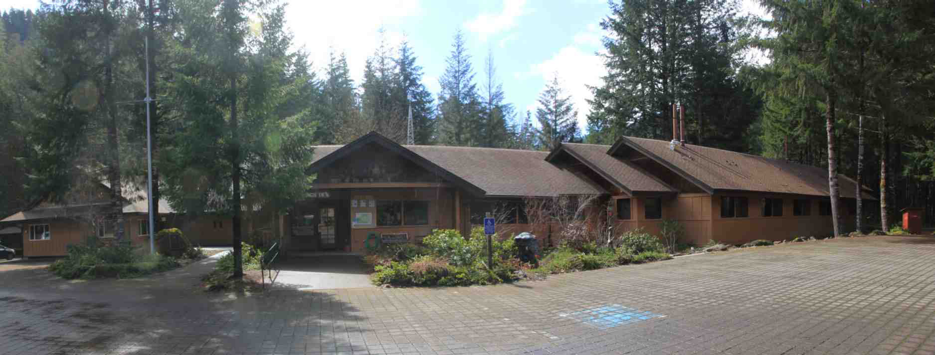
The H.J. Andrews Experimental Forest's Headquarters facilities, which include apartments, offices, conference hall, and a classroom, are available for year-round use, with a capacity of up to about 80 people. The facilities are available for researcher and group functions: field work overnights, short courses, workshops, field trips, planning sessions, retreats, etc. While priority is given to publicly-affiliated organizations, use by private organizations is also welcome. Priority during summer field season is given to research projects and education groups. The winter season is quieter: use for meetings and workshops is welcomed and encouraged.
Climate Stations
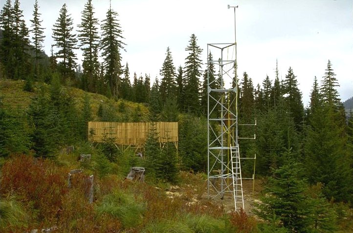
Photo by Al Levno.
Climate measurements began in the 1950s in association with the first small watershed experiments. Over time this infrastructure expanded to include a set of benchmark and secondary meteorological stations located in clearings spanning the elevation gradient within Lookout Creek watershed, as well as a large number of forest understory temperature stations.
Long-term measurements of air temperature, humidity, precipitation, snow, wind, solar radiation, soil temperature and other variables are available or download and use. Learn more about our Climate Stations: locations, instrumentation, data collection. Please note that extensive metadata on sensor configurations, methods changes over time, sensor accuracy and precision, and data QA/QC flags are associated with these data, and must be understood if users are to conduct analyses that can withstand scientific scrutiny. Please contact Andrews Information Managers if you are having trouble finding or understanding metadata.
Experimental Watersheds and Guaging Stations
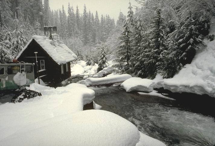
Photo by Al levno
The H.J. Andrews Experimental Forest (HJA) was established in 1948 explicitly to study watershed-scale processes and responses to land-use. The Lookout Creek watershed can be subdivided into smaller tributary watersheds of 10s to 1000s of hectares. The first experimental small watersheds were established in the early 1950s, and the first timber harvest treatments in these watersheds occurred in 1964. Additional watersheds and experiments have been added over time.
There are nine small experimental watersheds and ten gauging stations on the HJA, including the station near the mouth of Lookout Creek. All gauging stations record stream flow, water conductivity, and water and above-stream air temperature continuously. Most stations also collect water samples proportional to steam flow, which are composited at three-week intervals for chemical analysis. Stream chemistry data from the HJA and other small watershed studies across the U.S. have been organized into a stream chemistry database for broader scale studies. At five of the small watersheds, periodic surveys of sediment basins provides data on bedload accumulation. The experimental watersheds have also been sampled for vegetation, soils, and other factors needed to understand hydrological and ecological processes.
Permanent Vegetation Plots
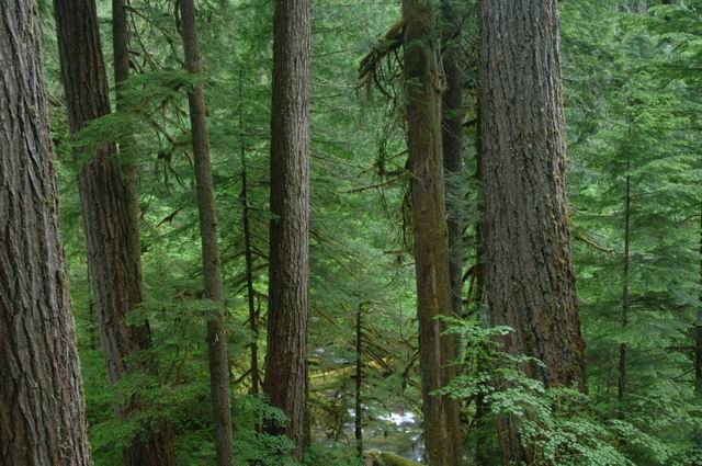
Photo by Tom Iraci
Although not what comes to mind first when you hear the term infrastructure, long-term vegetation plots are a critical foundation of the research enterprise. Within and adjacent to the Andrews Forest are dozens of 1/2 - 2 hectare permanent vegetation plots (reference stands) and hundreds of smaller circular plots in experimental watersheds and forest management studies. Data from these plots have been used to improve our understanding of long-term dynamics in harvested and unmanaged forest stands, and to ground truth remote sensing of vegetation.
Andrews Forest researchers and information managers are developing a database to allow users to interactively derive key metrics like carbon stocks or net primary productivity from this diverse network of plots. View the Permanent Vegetation Plots page for locations and descriptions of the history and characteristics of plots. The Andrews Forest permanent plots are part of a much larger regional network of permanent plots that are contributing to understanding of large-scale vegetation dynamics.
Wireless Communications
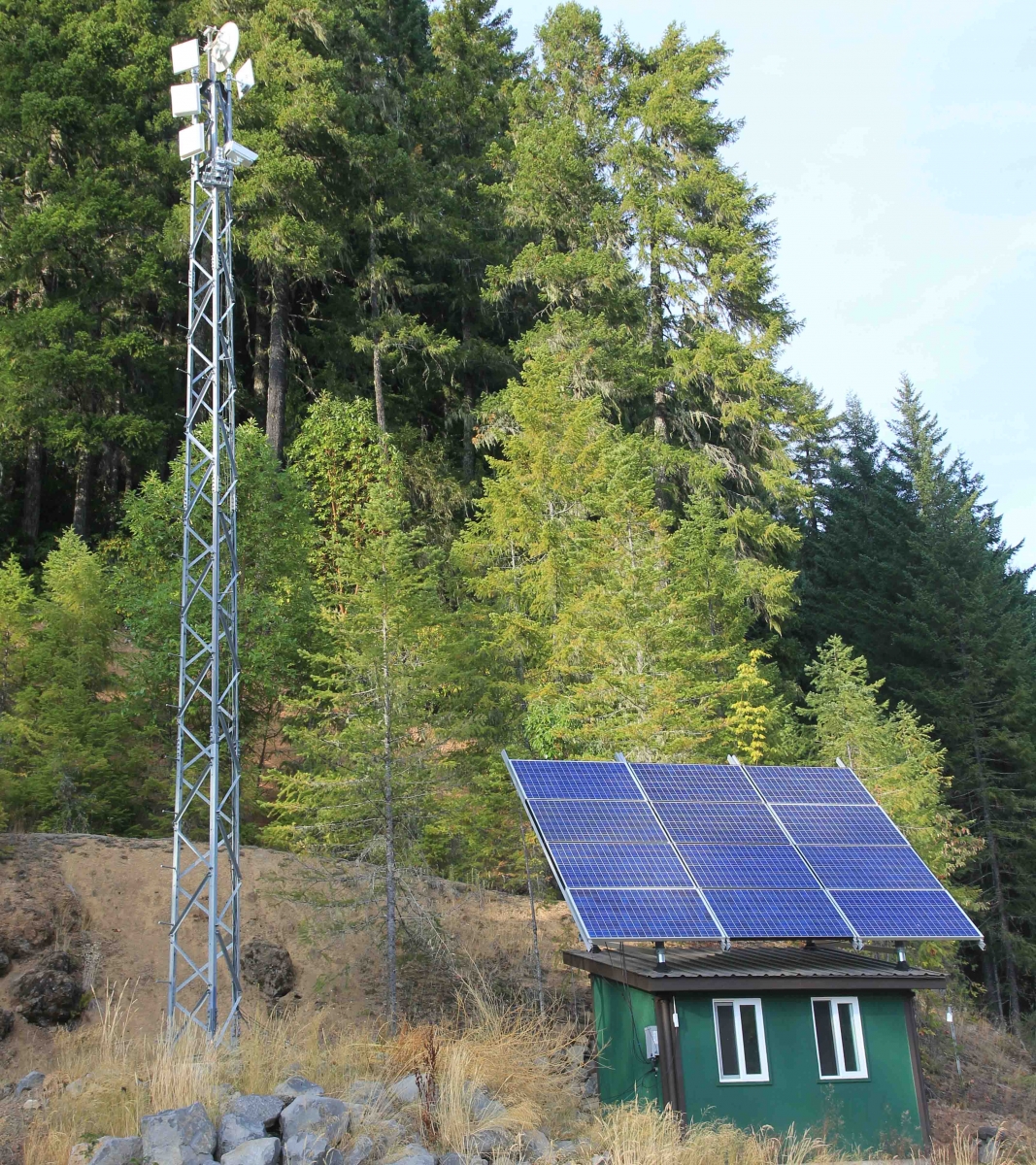
The first generation of radio telemetry was installed in the 1990s to allow for near real-time data streaming and sensor troubleshooting from climate and stream gauging stations. In 2012 we upgraded our wireless capabilities with a new system of high-throughput radios that link remote research sites to headquarters through a backbone of ridge-top radio towers. The new wireless system provides coverage to approximately 80% of the Andrews Forest area and enables streaming of larger data volumes generated by modern environmental sensors and digital imagery.
Note that this wireless communication system does not provide WiFi coverage to the forest, but new research projects can arrange to connect to the wireless system with the appropriate investment in (900 or 5800 Mhz) radios and power supplies for new remote sites. Contact the Andrews Site System Administrator to discuss possibilities.
