Maps
Below are links to maps of the Andrews Experimental Forest, available as jpg, pdf, geoenabled pdf, interactive on the webpage, or using arcMap.
- If you're looking for driving directions, please see our Location and Directions page.
- If you are interested in aerial imagery, LIDAR, and maps derived from LIDAR, see Aerial Imagery.
Map for Visitors
 If you're planning a trip to the forest, please see our Visit the Forest page. A map with basic information, is available here:
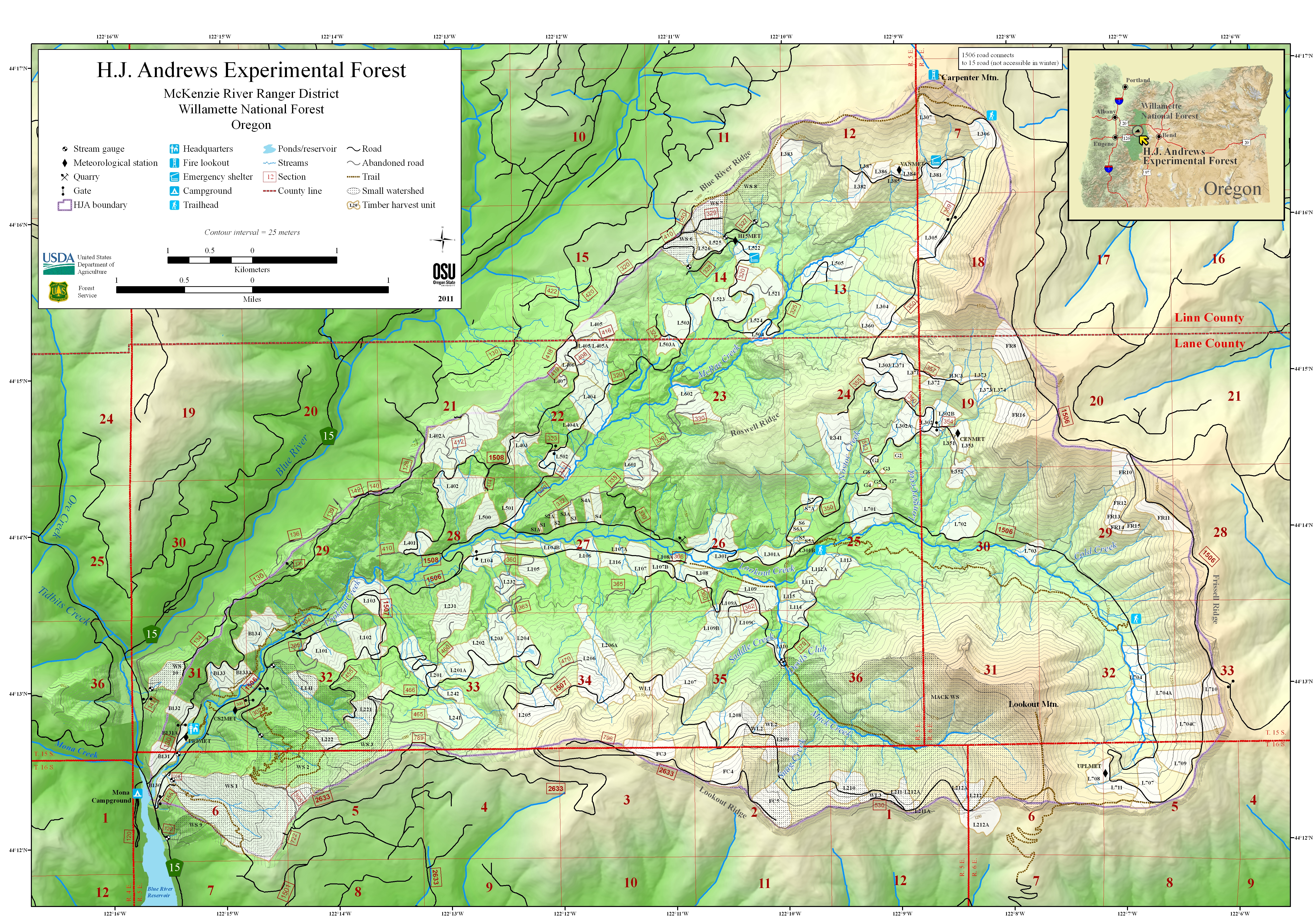
Basic Map of the HJ Andrews Experimental Forest (jpg) is a quickly viewable map. Some visitors may be interested, instead, in the geo-enabled map, linked below.
Accompanying Information for the Basic Map (PDF): includes details about the Andrews Forest and its research programs. It also includes text about the Lookout Creek Old Growth Trail and the Carpenter Mountain Lookout Trail.
Maps for Researchers
Base maps
HJ Andrews Geo-Enabled Map (PDF, 18MB, 2017):
Based on the 2011 HJ Andrews map including any subsequent updates and created to be geo-enabled. To use geo-enabled features, users will need to download a geopdf application (such as PDF Maps or Avenza Maps) on to their GPS-enabled Android or IOS mobile device in order to view the map in the field.
Interactive maps
Interactive maps are built on a geospatial reference and allow users to select and deselect desired features (layers and sublayers). A legend provides identification of a particular feature. User specified maps can be created and saved. The following interactive maps are available for the HJ Andrews Experimental Forest:
Study Site Locations on the HJ Andrews Experimental Forest
This interactive map was created using the 2011 HJ Andrews base map, including any subsequent changes, and allows users to select (turn on and off) various study site locations across the HJ Andrews Experimental Forest. While we try to keep the map of study sites up to date there are inevitable delays in getting GPS coordinates from researchers and getting new layers added to the GIS. You should not consider the study site map as all-inclusive or definitive. Researchers with potential research projects should contact the Forest Director to discuss potential spatial overlap and conflicts with ongoing studies.
Soils Data for the HJ Andrews Experimental Forest
This Soil Survey Geographic Database (SSURGO) National Cooperative Soil Survey data collected in 2014 (referred to as new soil survey) in addition to original 1964 data and other geological and soils data for the HJ Andrews Experimental Forest can be accessed using the interactive map above. It is located under 'geology/soils data' within the 'Base layers' section under 'studies15-1' in the layers list (upper right corner).
Using the 2011 HJ Andrews Map base with ArcMap
You can create your own version of the 2011 HJ Andrews Map (with additional GIS Data) by doing the following:
- In ArcMap click on the Add Data icon, browse to GIS Servers, select Add ArcGIS Server, select Use GIS Services and select Next, choose an Internet Server URL and type in https://cypress.forestry.oregonstate.edu/arcgis/rest/services and click on finish.
- From the next list select HJA and then select newbase2011 and click on the Add button
- The base map is then available for you to add your own points. Note that it is in NAD 83, so make appropriate adjustments.
Online Spatial Data
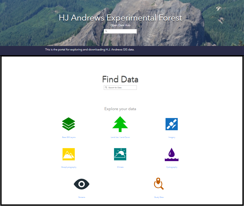 Spatial data in gridded and vector formats are available for HJ Andrews Experimental Forest at the ArcGIS Open Data Hub. Spatial data that reside on the Hub include: hydrography data, historical imagery, LIDAR derived elevation models and base GIS layers such as roads.