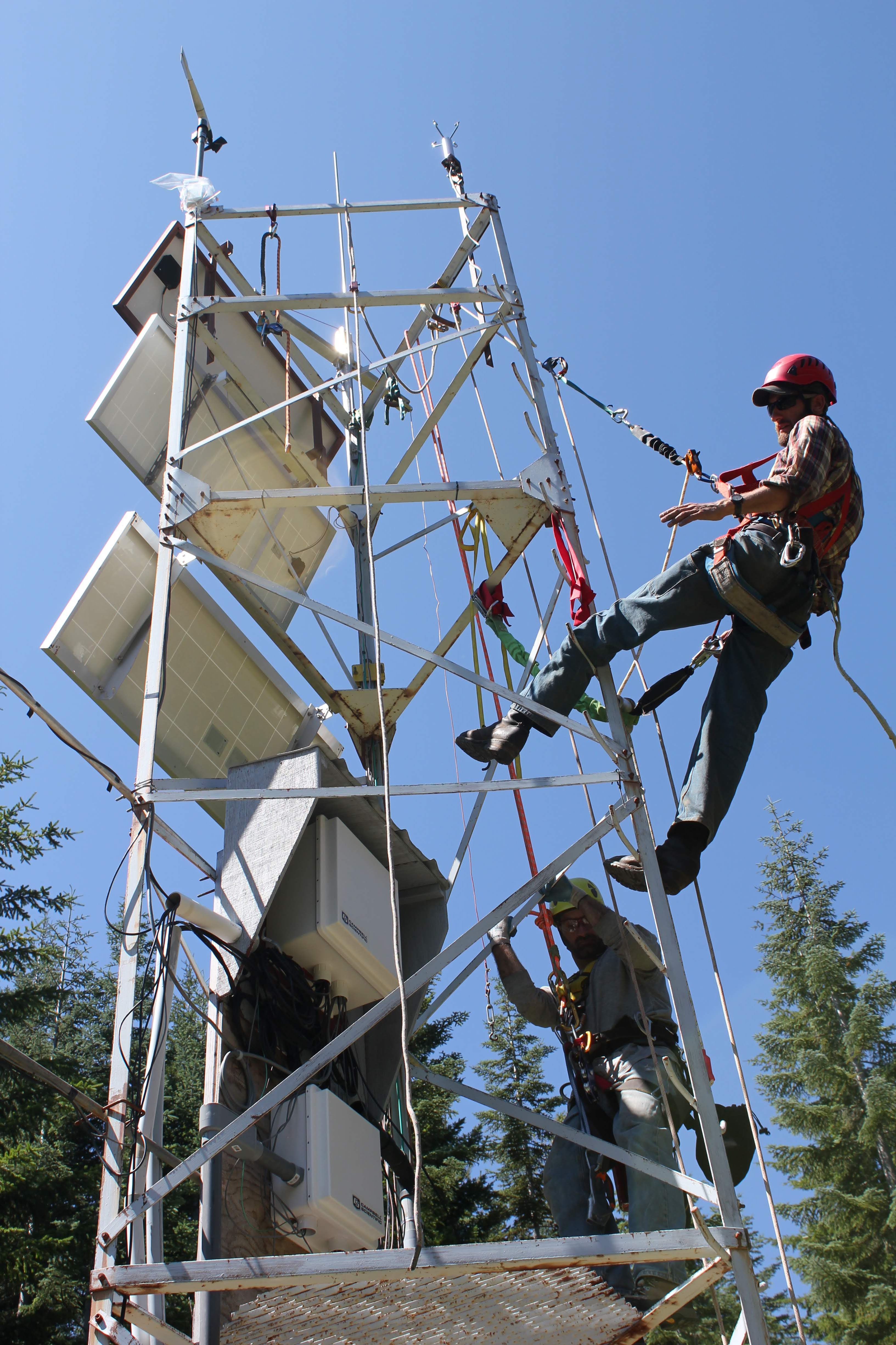
For the past few days, the Lookout Fire has been burning around one of our remote weather stations, Upper Lookout (UPLMET), and is nearing a second, Central (CENMET). Fortunately, as of the time of this post (August 21), the UPLMET station continues to send useful weather data over our network of radio relays. The first weather stations at HJA were installed to aid research on logging methods starting in 1952. Three more stations were added over time. Today we maintain seven weather stations spread out to capture the environment across the entire research forest. Measurements include, precipitation, temperature, humidity, wind direction and wind speed, solar radiation, and snow. In addition to capturing variation and changes in climate over the years, the weather data are used as reference for many of the other studies that happen on the forest. For example, how does climate relate to vegetation types and changes in vegetation cover over time? Or how does weather measured, such as precipitation, snow, and soil moisture, relate to stream flow, or disturbances such as flood, landslides, and, yes, fire? Like all of the data we collect, the weather data are made public on our website and in a national data repository. In addition, this month, our field technicians, Greg Cohn and Adam Kennedy, put together a new Lookout Fire Wx web page, in direct response to the needs of fire crews working on the Lookout Fire. These weather measurements are providing fire crews helpful information to strategize and stay safe while trying to contain the Lookout Fire. We want to extend our thanks to fire crews who cleared nearby vegetation and set up sprinklers around the weather stations to protect them from the fire.
First posted August 21, 2023