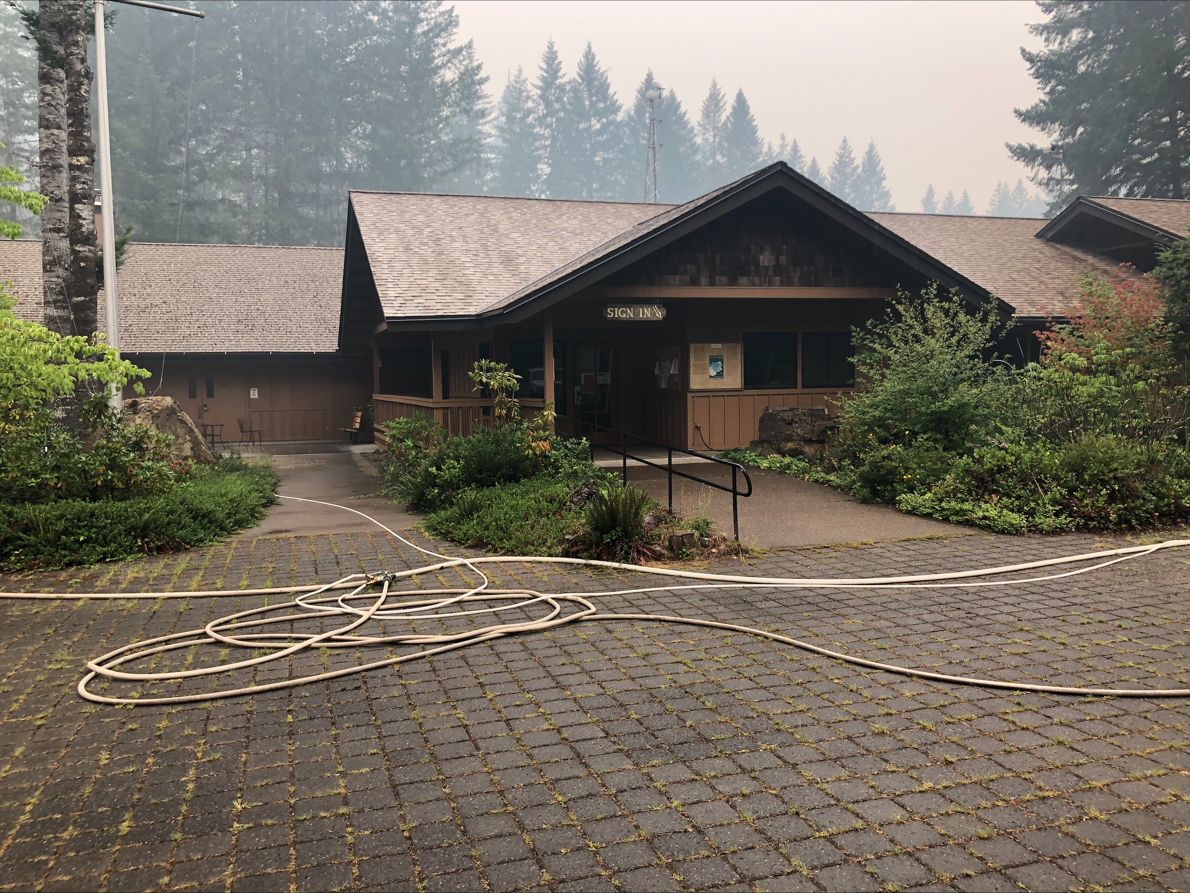
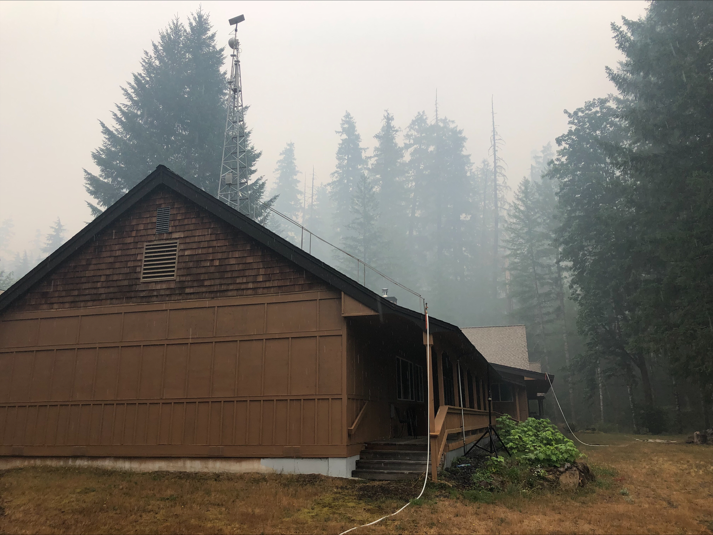
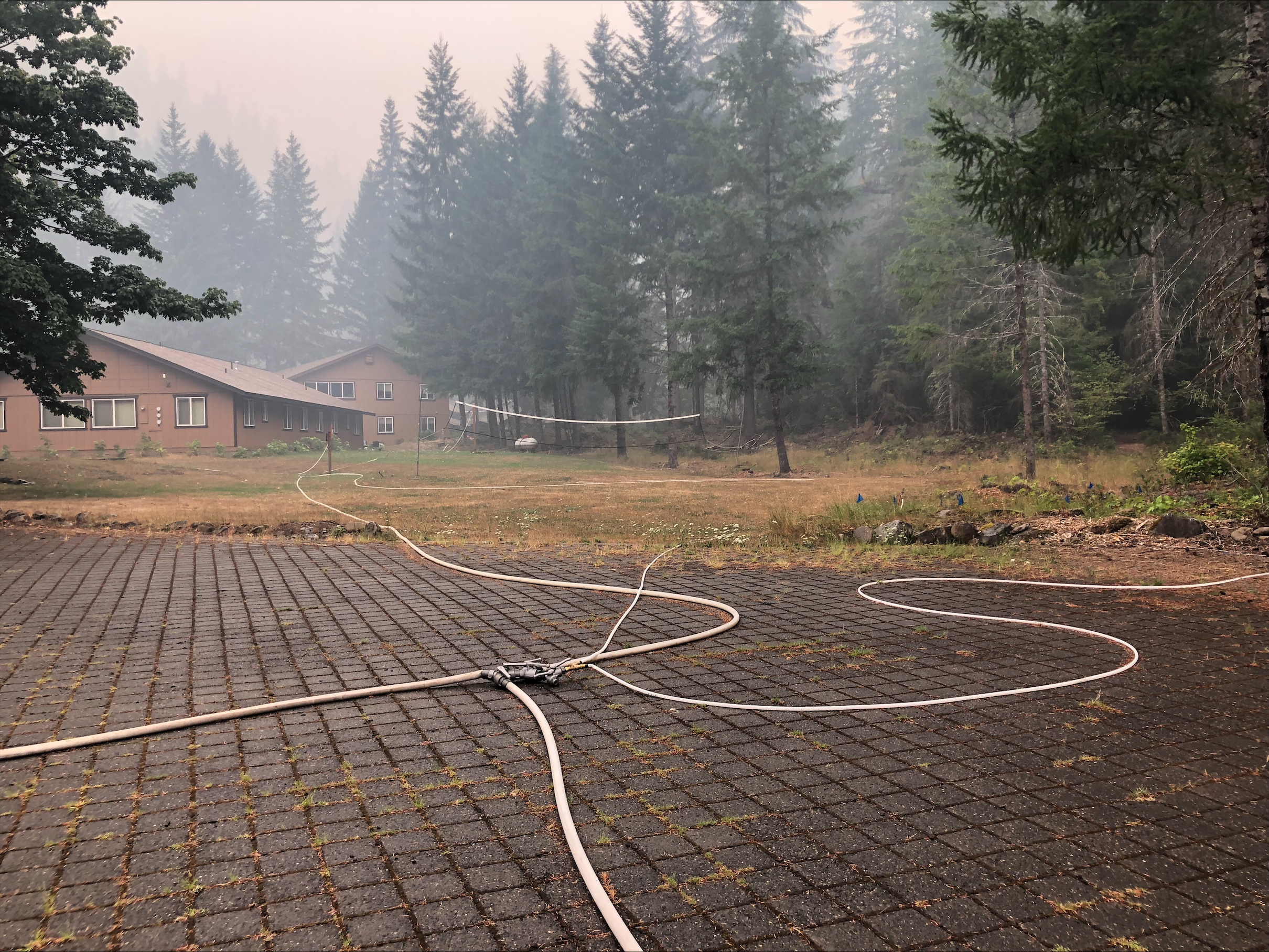
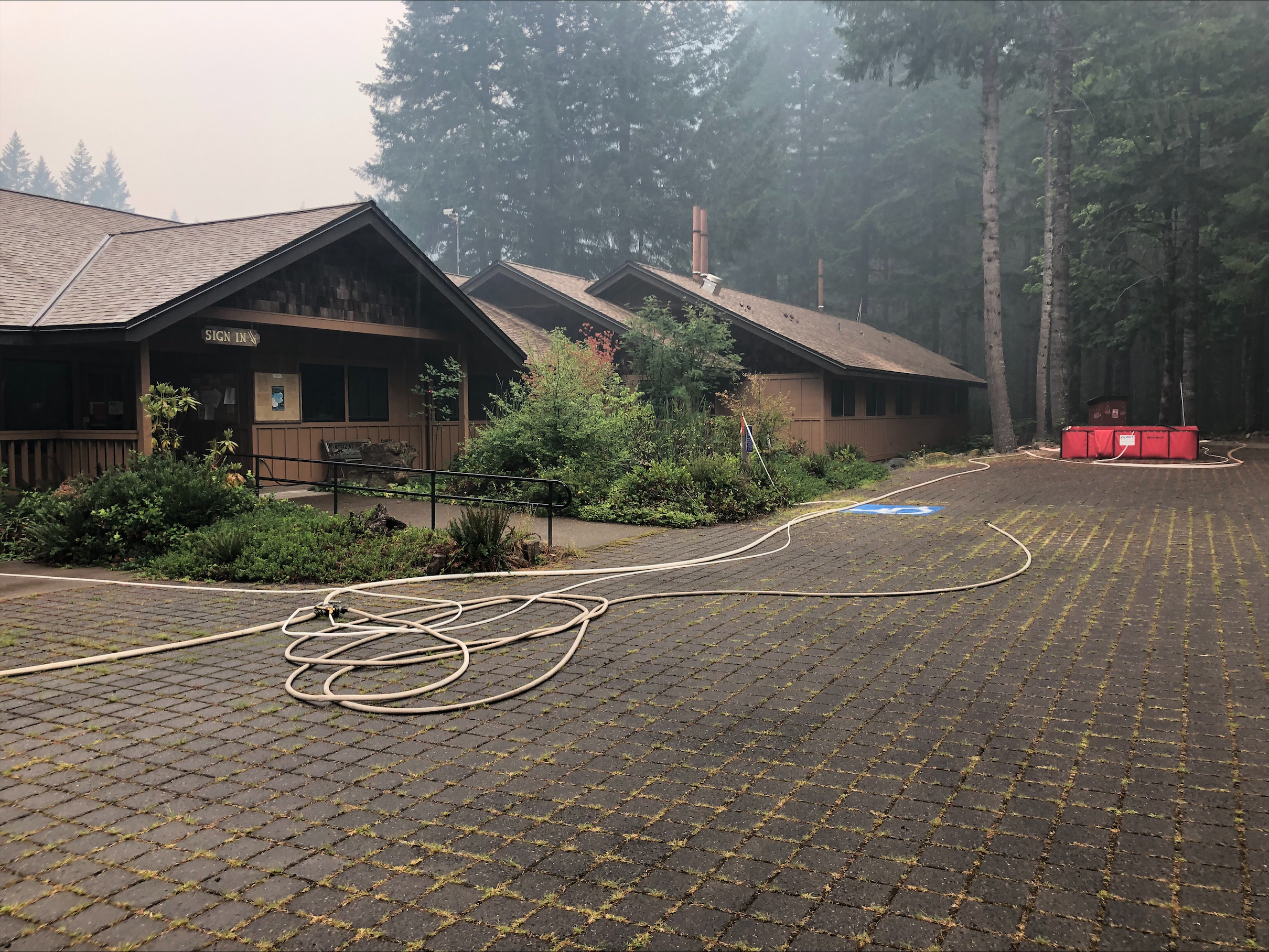
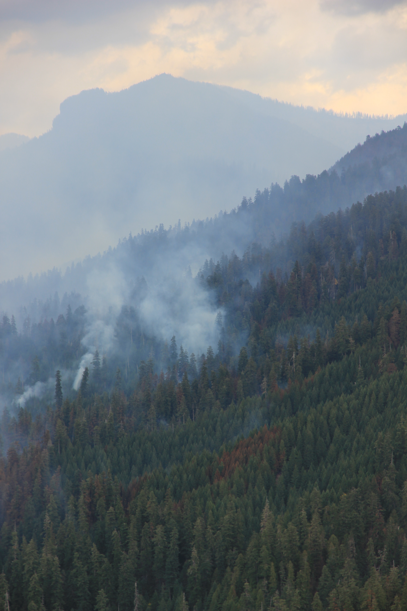
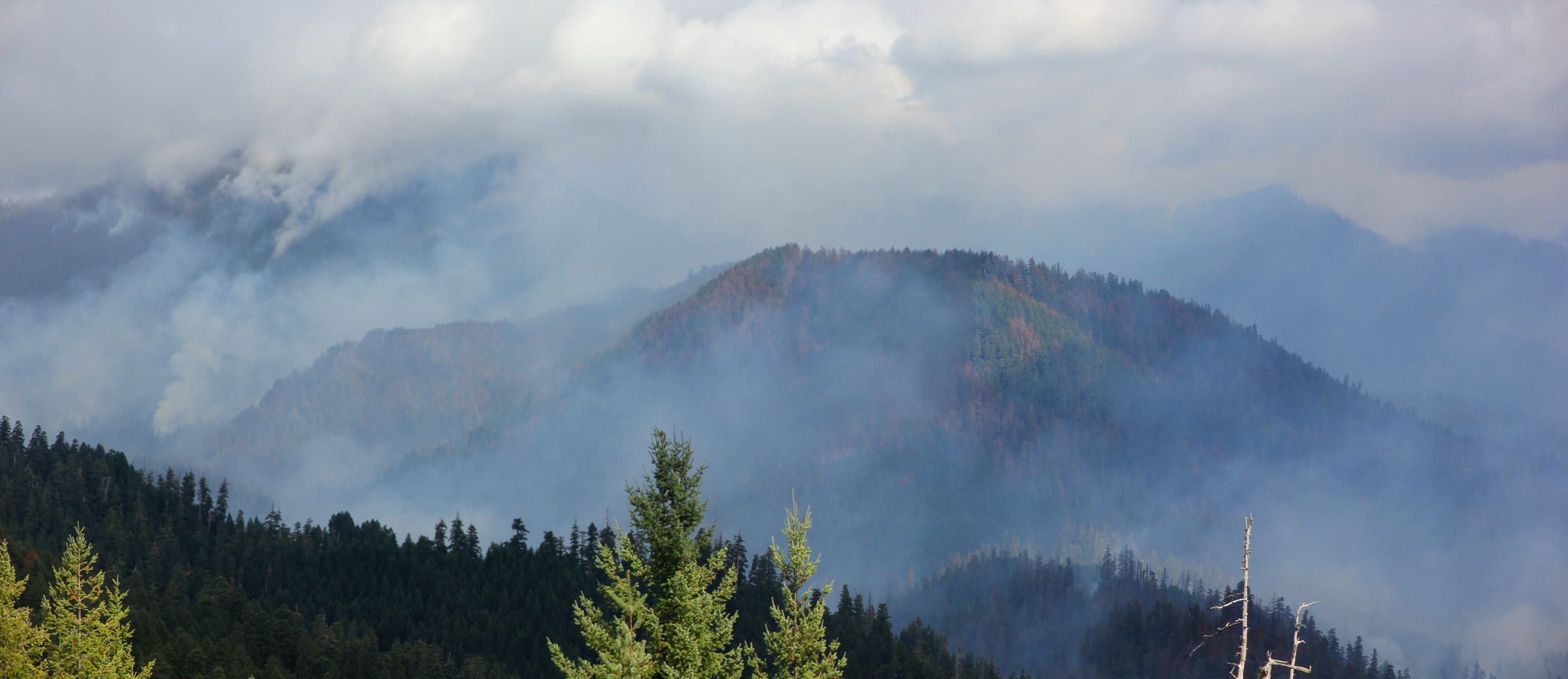
HJA Headquarters Office building, with wildfire smoke
Lookout Fire August September 2023
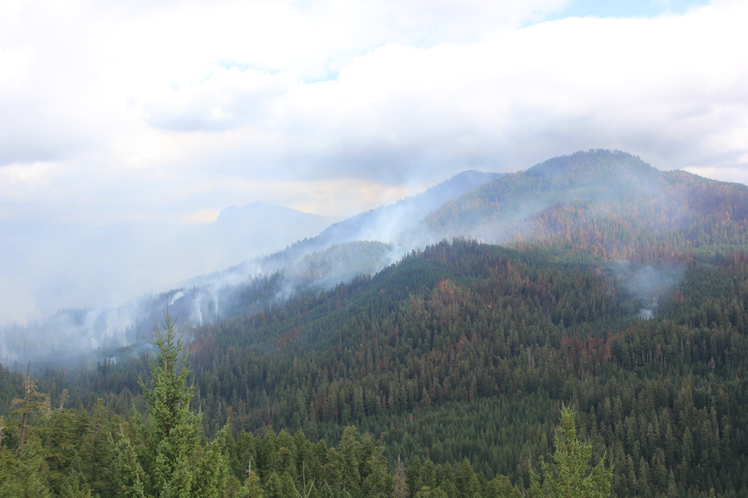
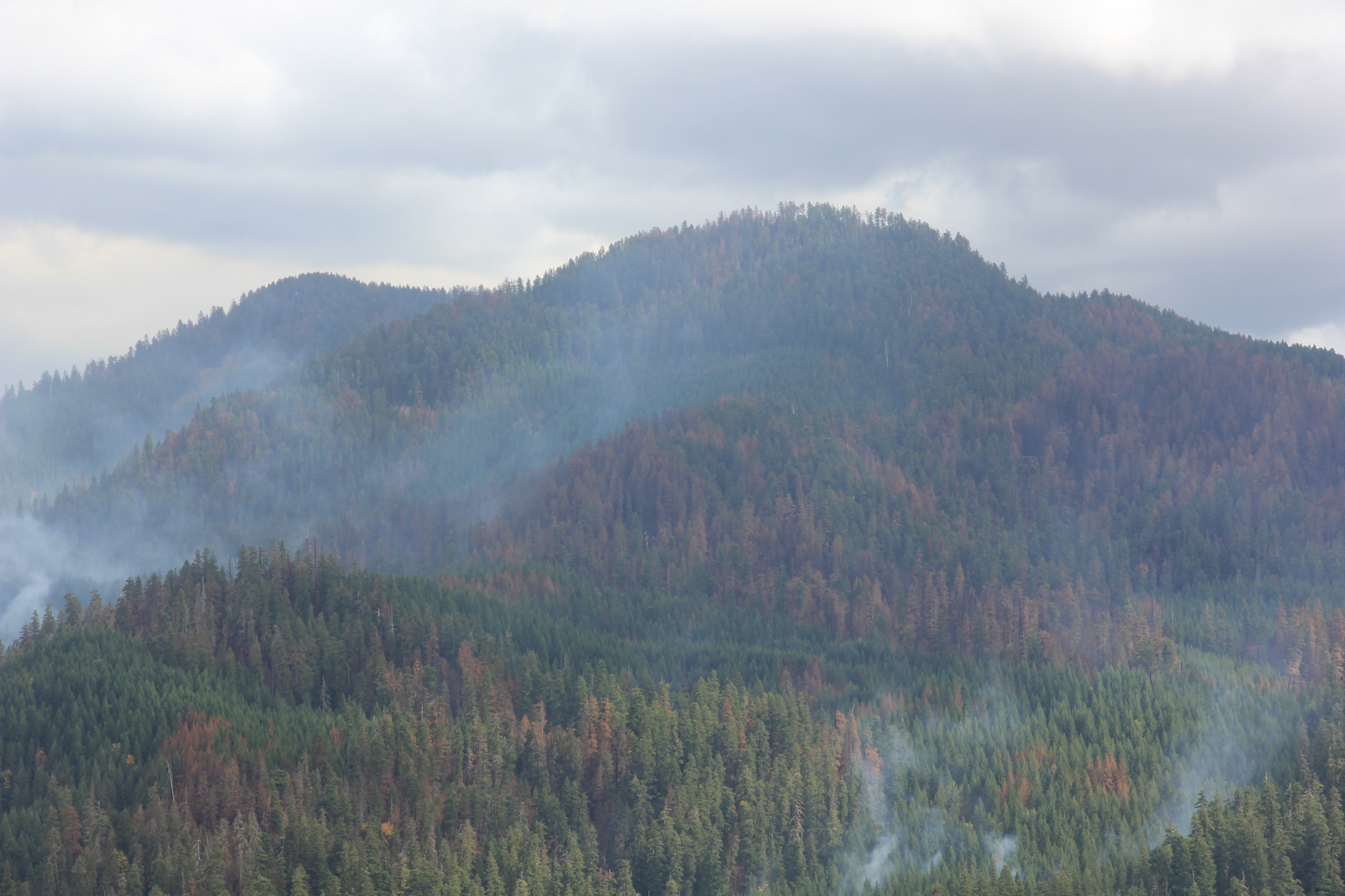
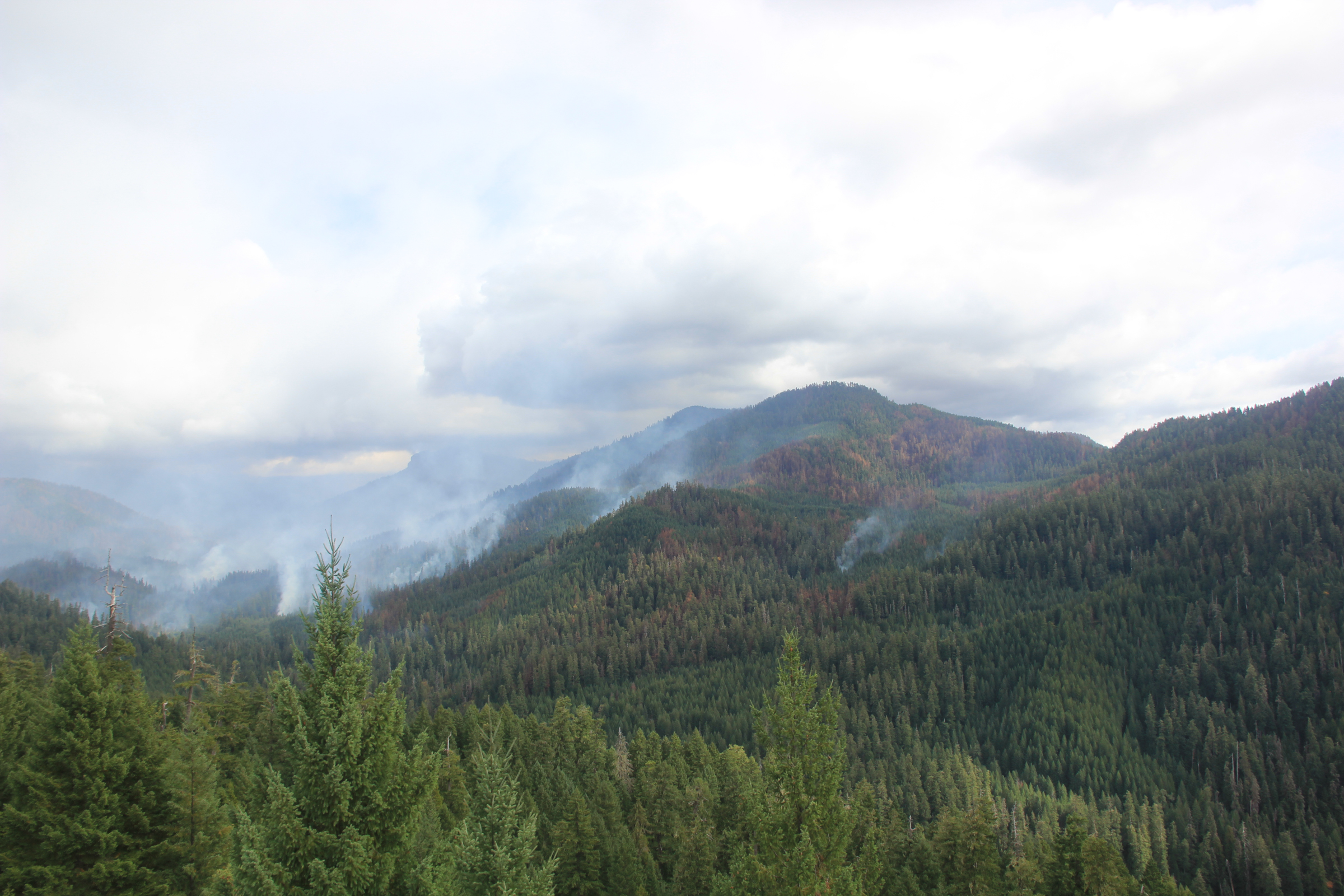
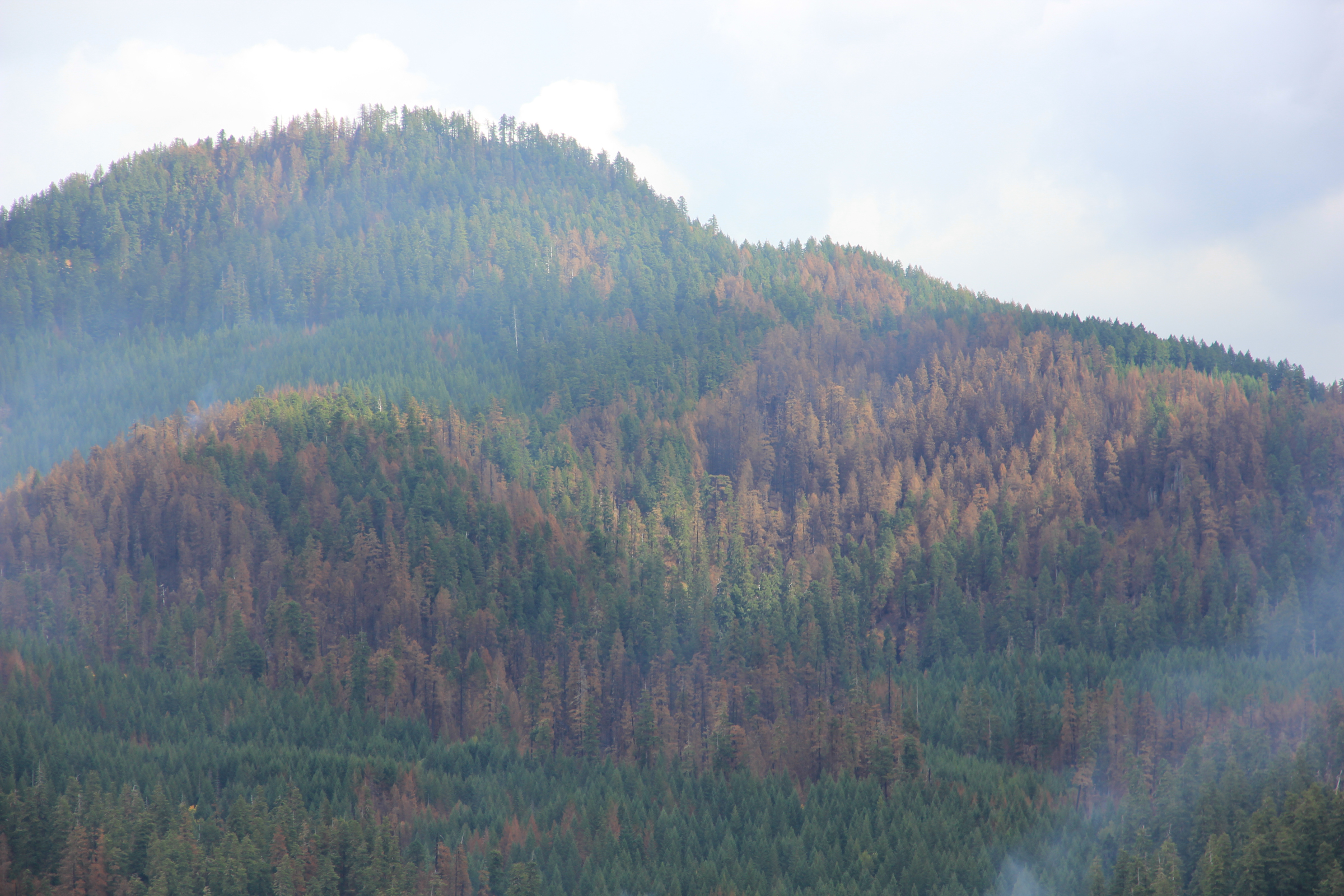
The Lookout Fire ignited August 5, 2023, by lighting on the flank of Lookout Mountain, at the heart of the H.J. Andrews Experimental Forest. The fire footprint covered approximately 70% of the site. Thanks to huge efforts of fire crews, the headquarters facility was spared by the fire, protected by fire containment lines and by a sprinkler system. This gallery shares images of fire protections at headquarters and fire suppression activities along containment lines.
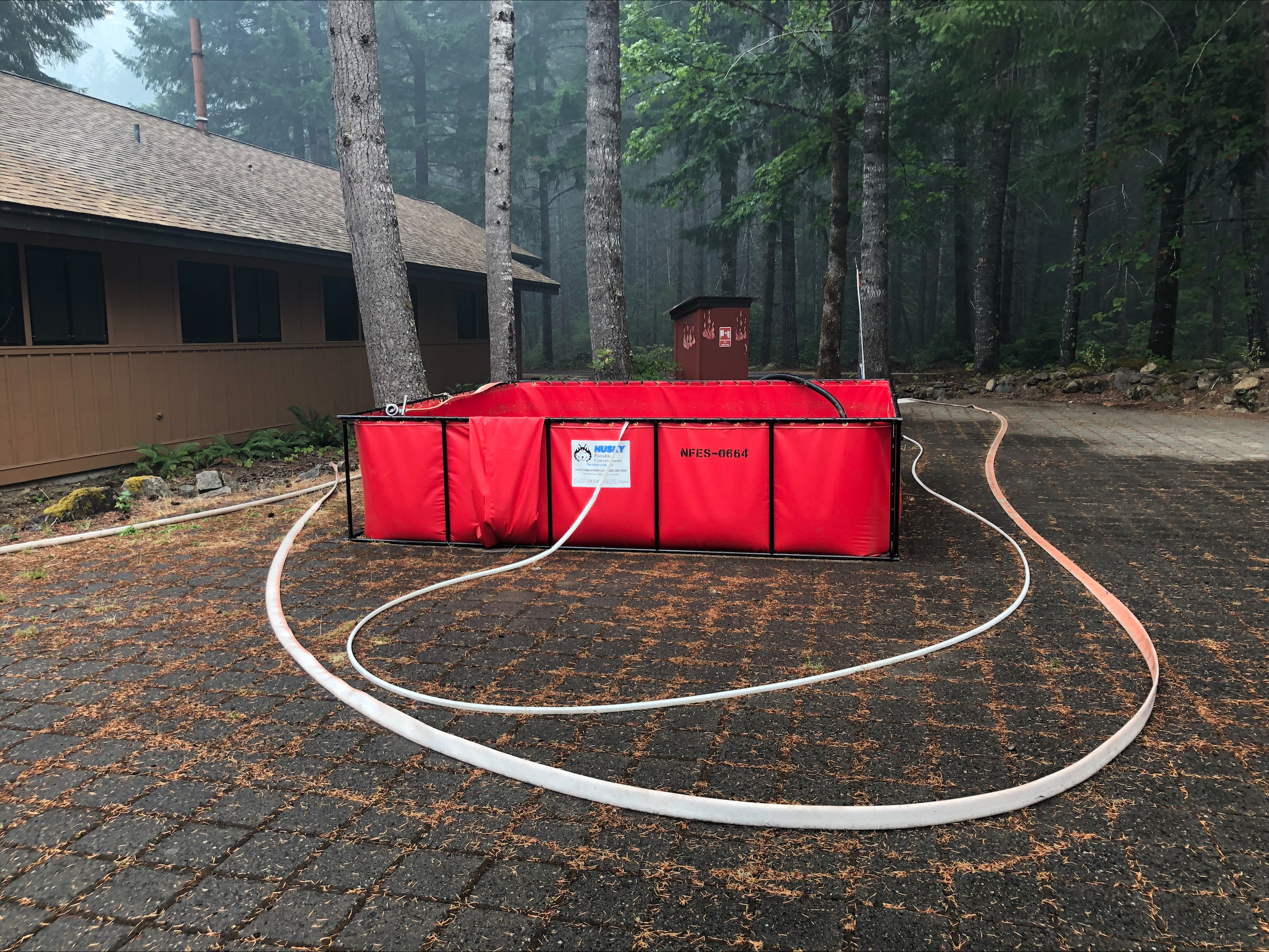
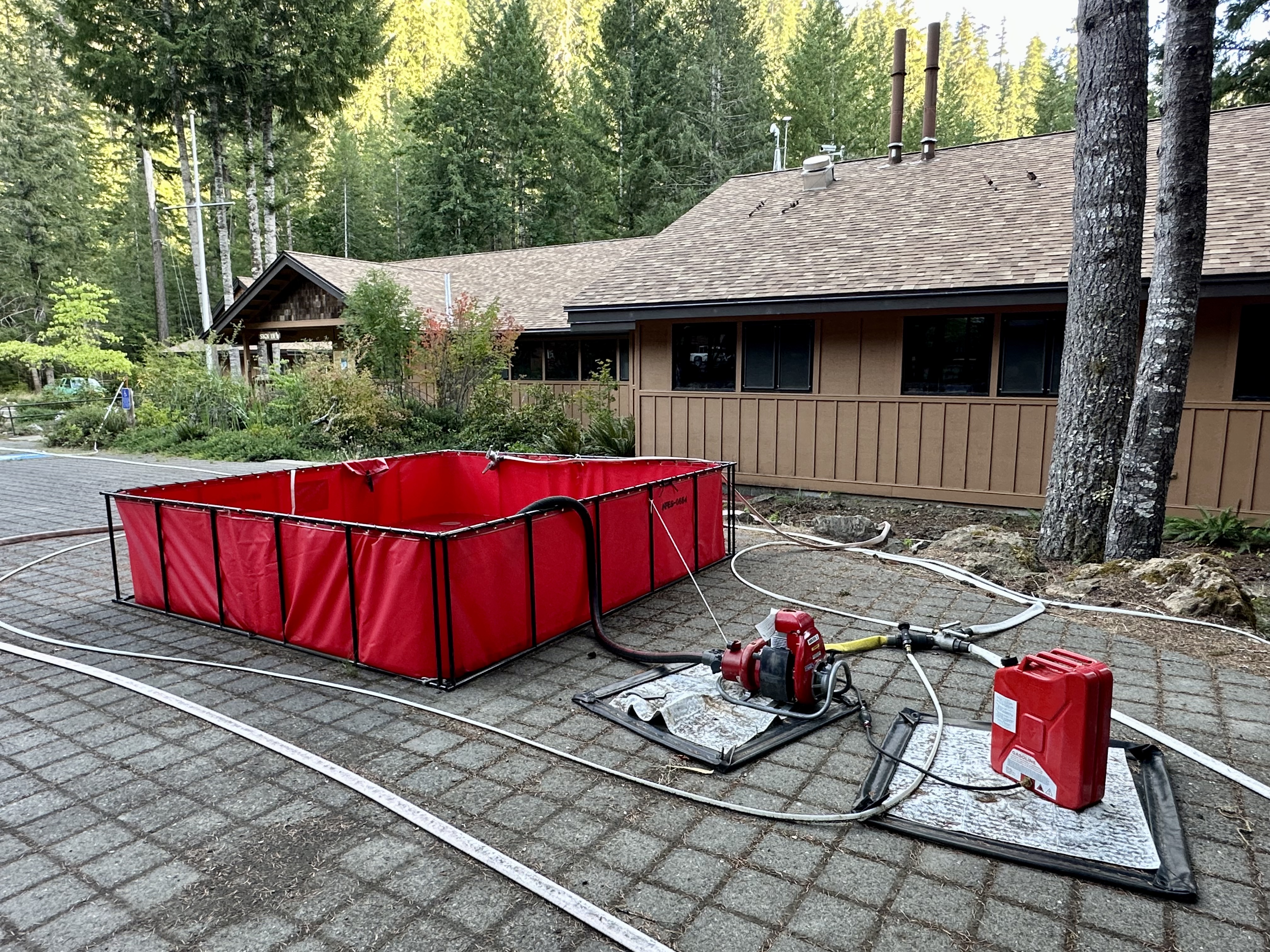
Water holding tanks, set up by fire crews, to protect the buildings
Buildings at the headquarters facility
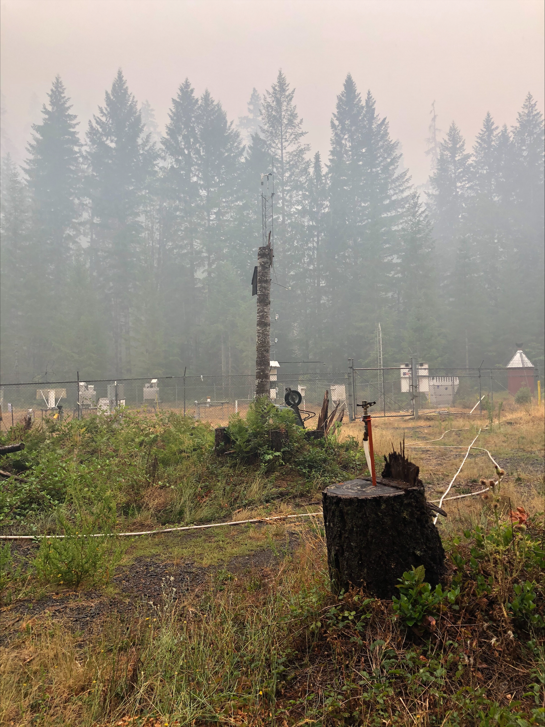
The primary weather station PRIMET with hose and sprinklers set out to protect the research equipment
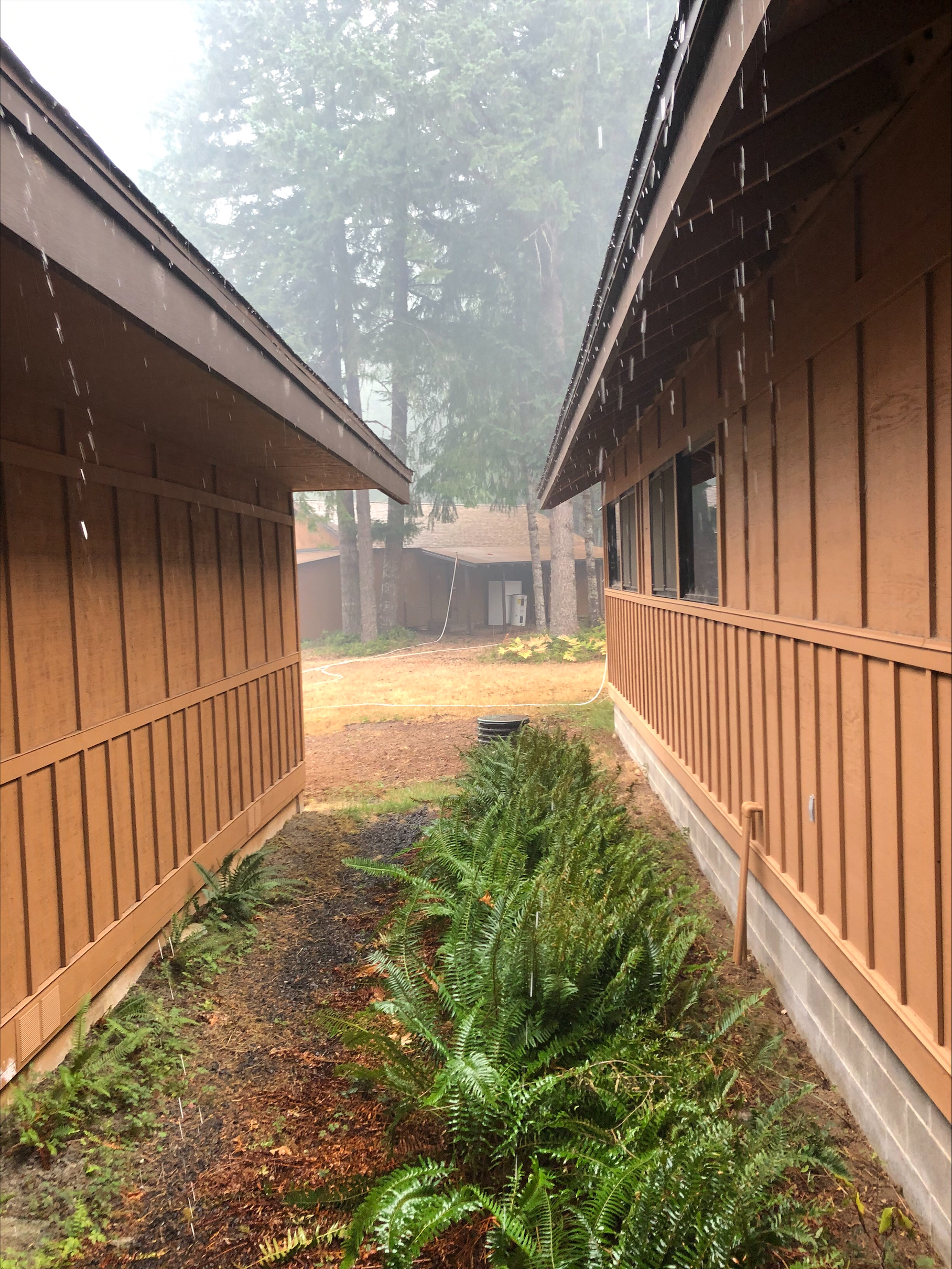
buildings at the headquarters facility with hosts and sprinkers set up to protect the buildings against fire
buildings at the headquarters facility with hosts and sprinkers set up to protect the buildings against fire
buildings at the headquarters facility with hosts and sprinkers set up to protect the buildings against fire
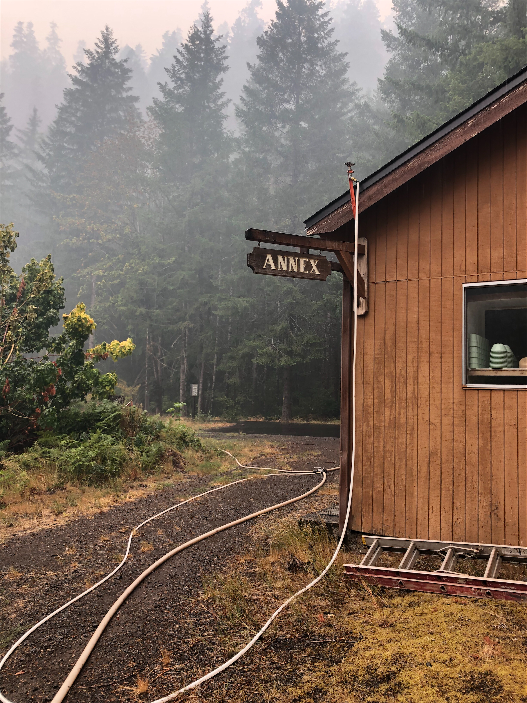
hoses and sprinkers set up by fire crews to protect the buildings at headquarters
hoses and sprinkers set up by fire crews to protect the buildings at headquarters
hoses and sprinkers set up by fire crews to protect the buildings at headquarters
Water holding tanks, set up by fire crews, to protect the buildings
Hose and sprinker set up around the perimeter of the headquarters to protect against fire
Hose and sprinker set up around the perimeter of the headquarters to protect against fire
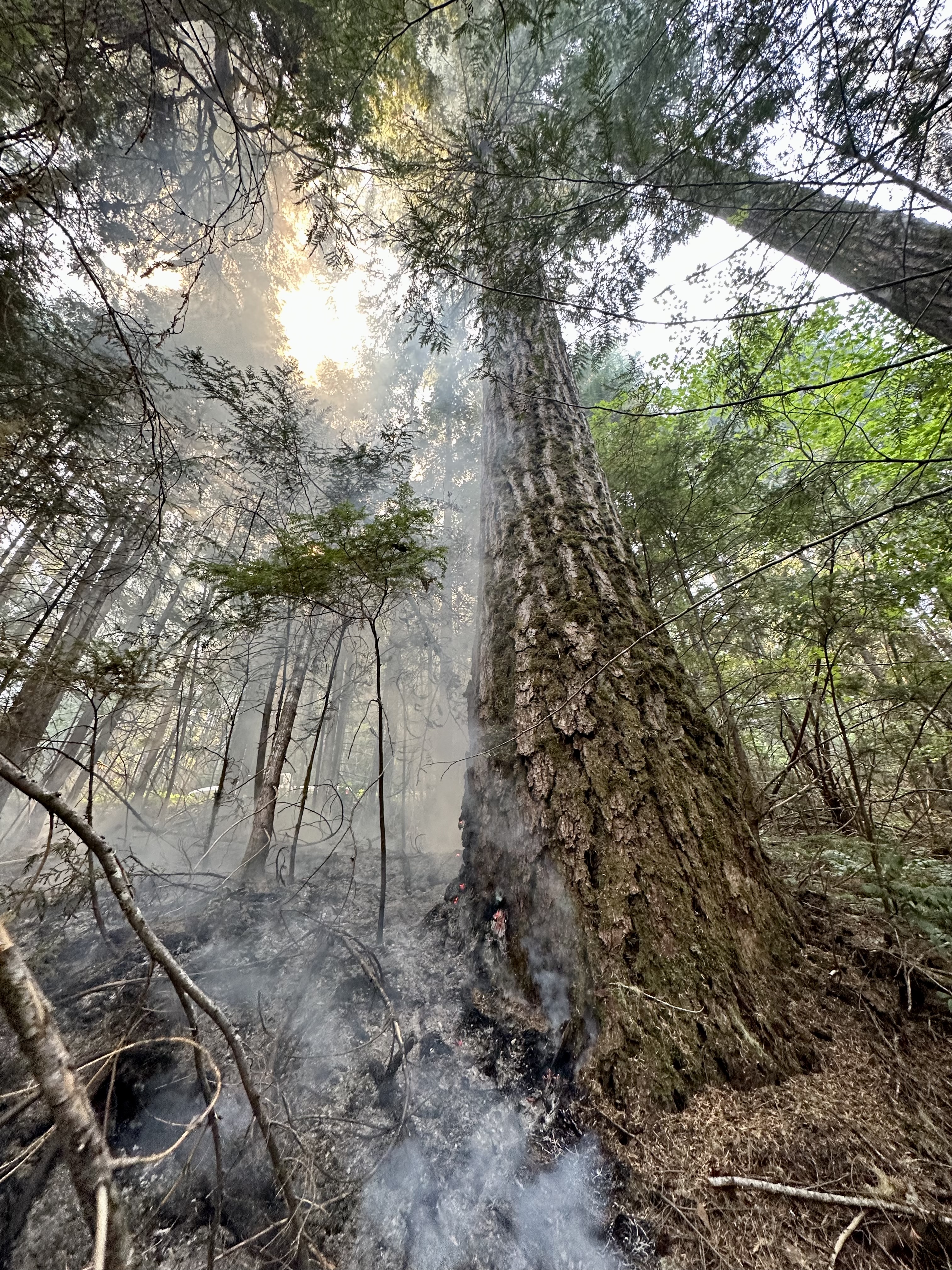
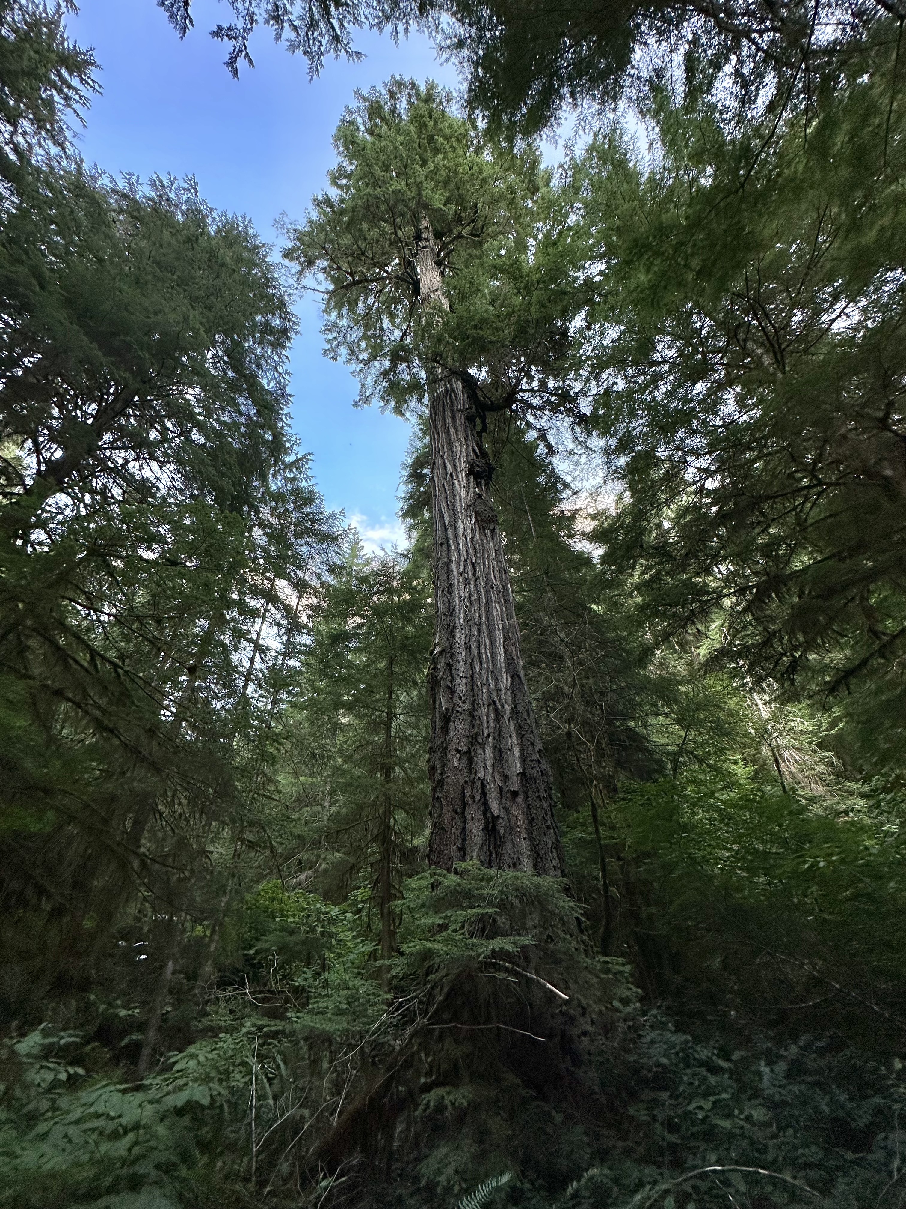
An old-growth tree
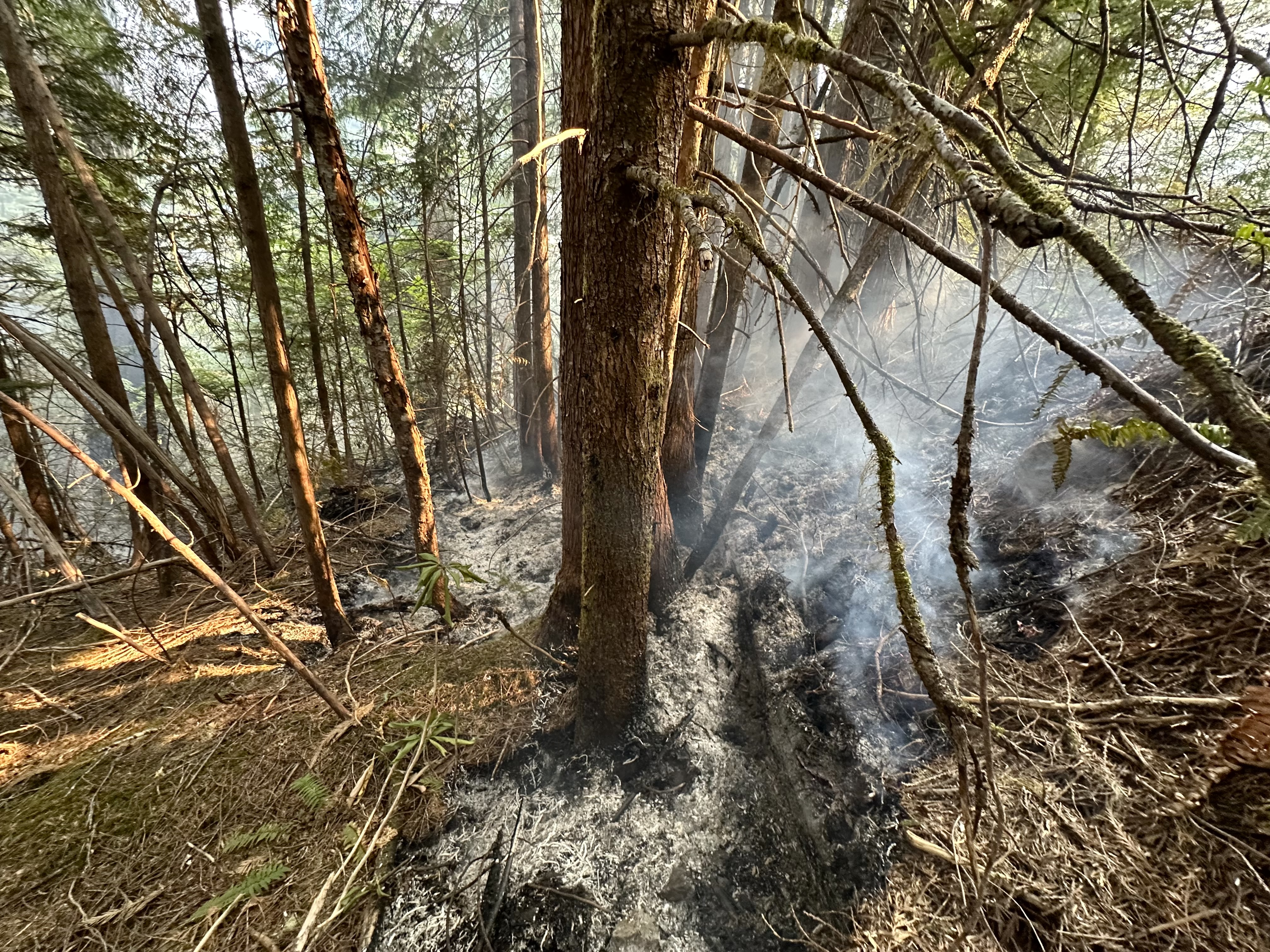
Fire in the understory of the forest. This was a controlled burn the fire crews used to establish a containment line. Notice the trucks in the top right.
Smoke and ash in the understory. This was a controlled burn the fire crews used to establish a containment line.
Smoke and ash in the understory. This was a controlled burn the fire crews used to establish a containment line.
Fire in the understory of the forest. This was a controlled burn the fire crews used to establish a containment line
Smoke and ash in the understory. This was a controlled burn the fire crews used to establish a containment line.
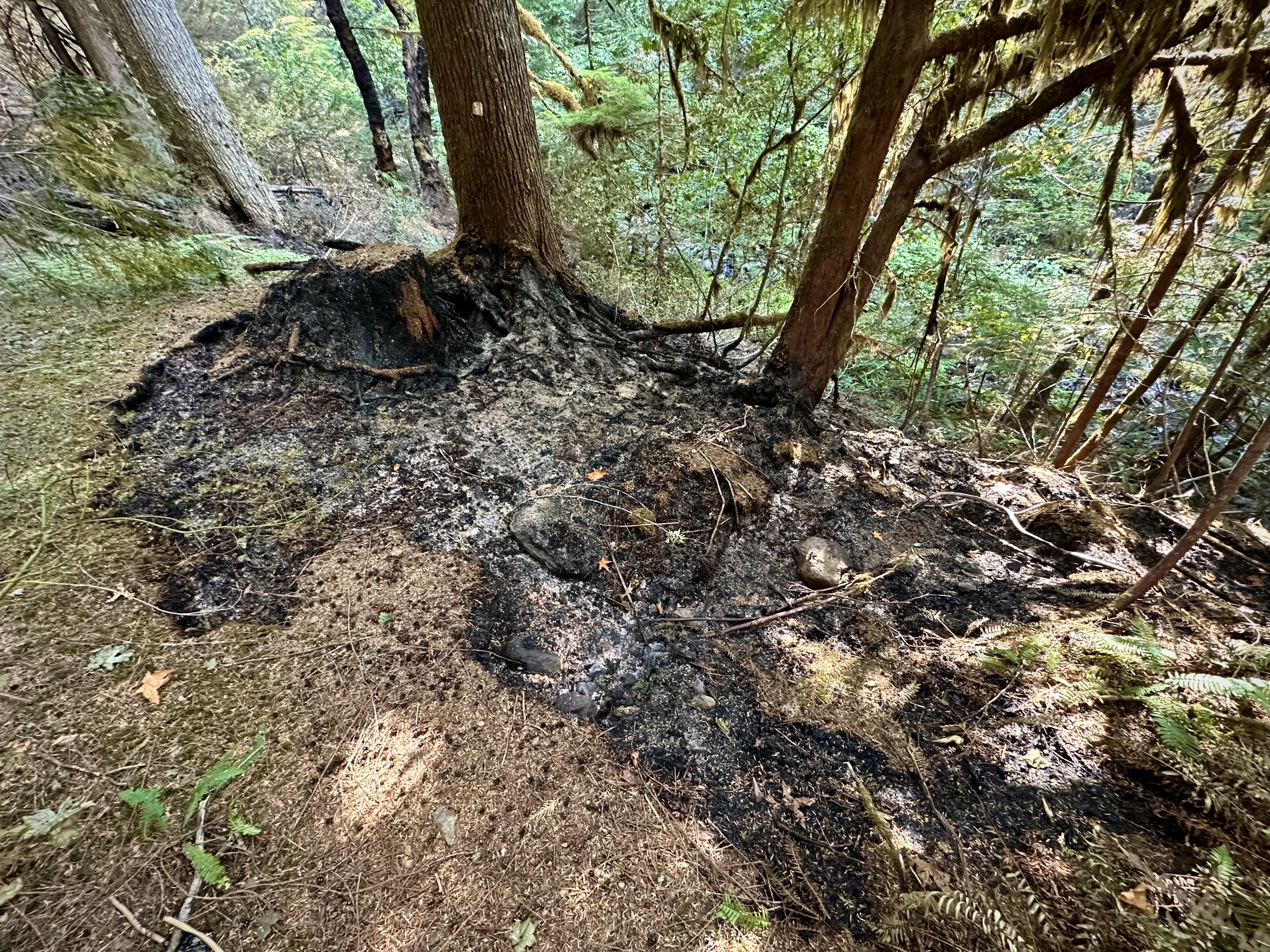
Burned stump and roots after a controlled burn along the fire containment line.
Smoke and ash in the understory. This was a controlled burn the fire crews used to establish a containment line.
Smoke and ash in the understory. This was a controlled burn the fire crews used to establish a containment line.
Smoke and ash in the understory. This was a controlled burn the fire crews used to establish a containment line.
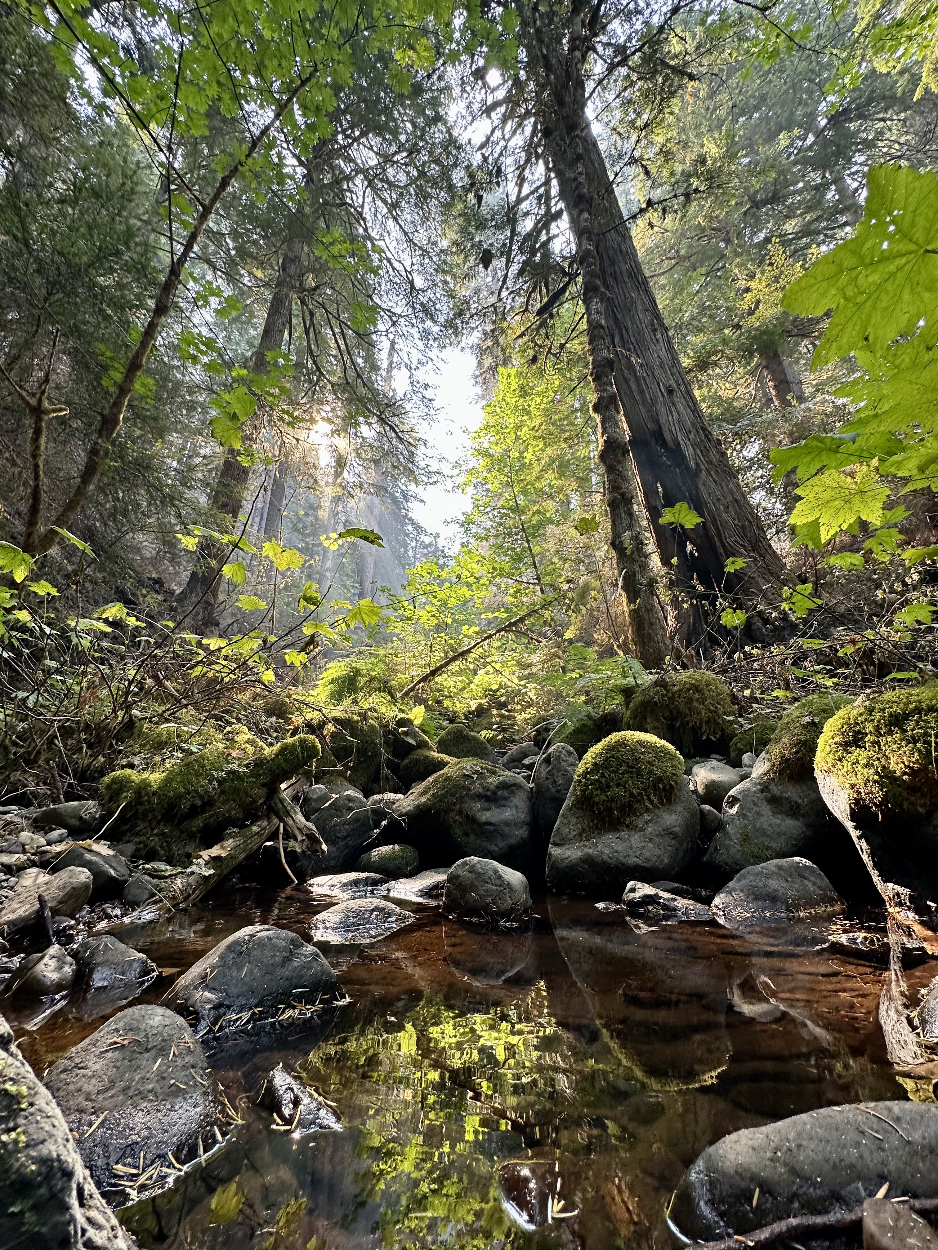
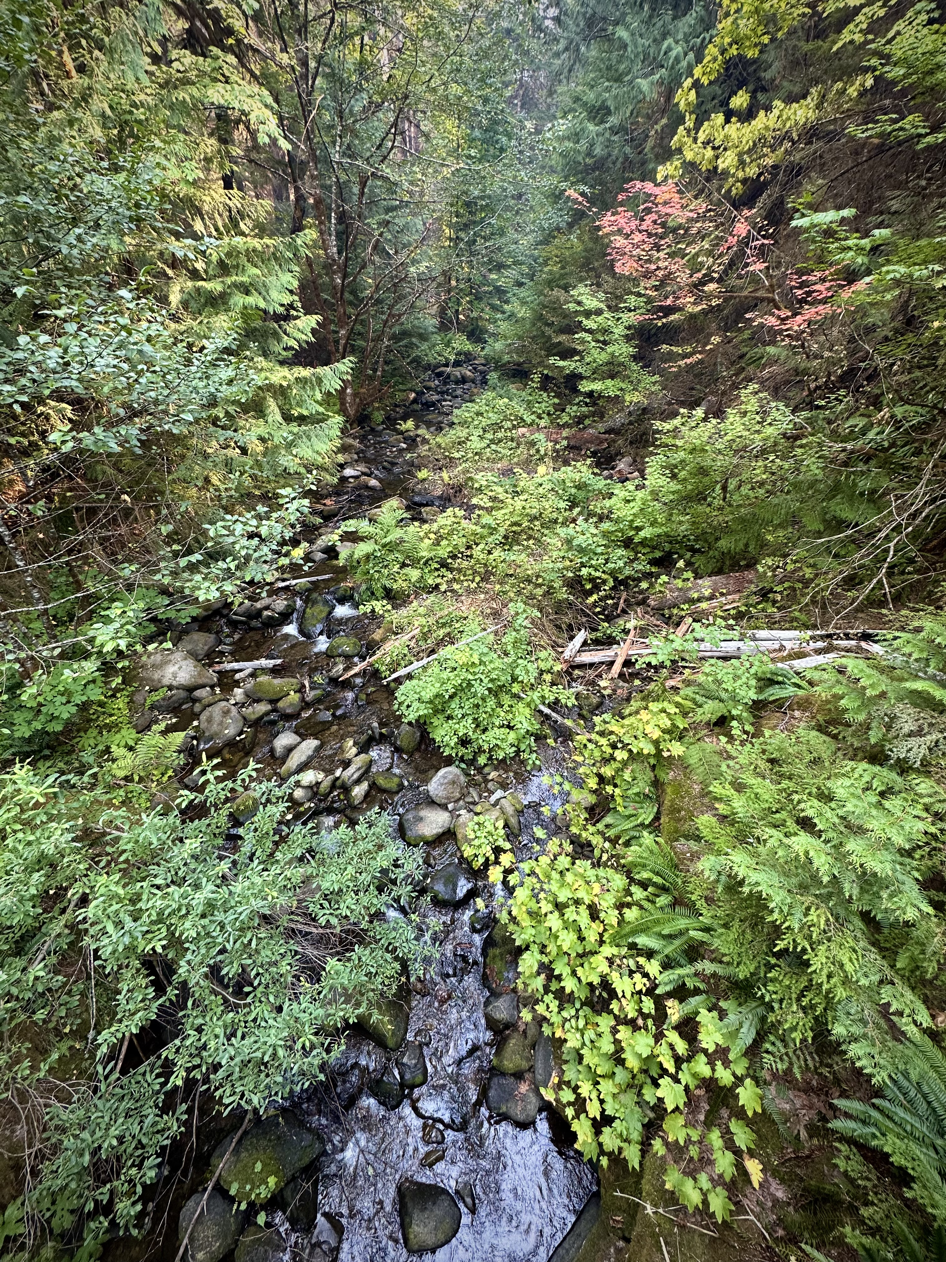
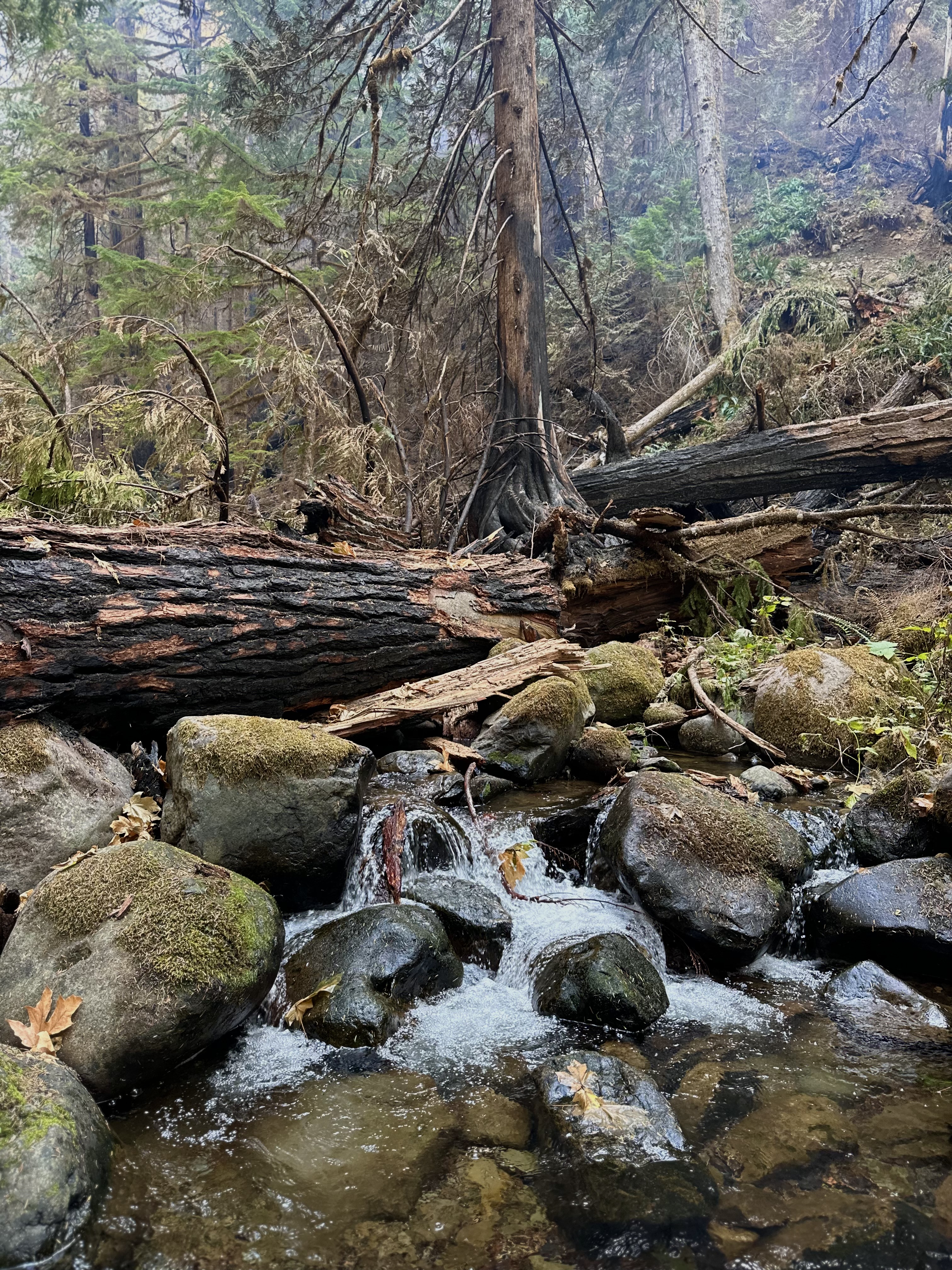
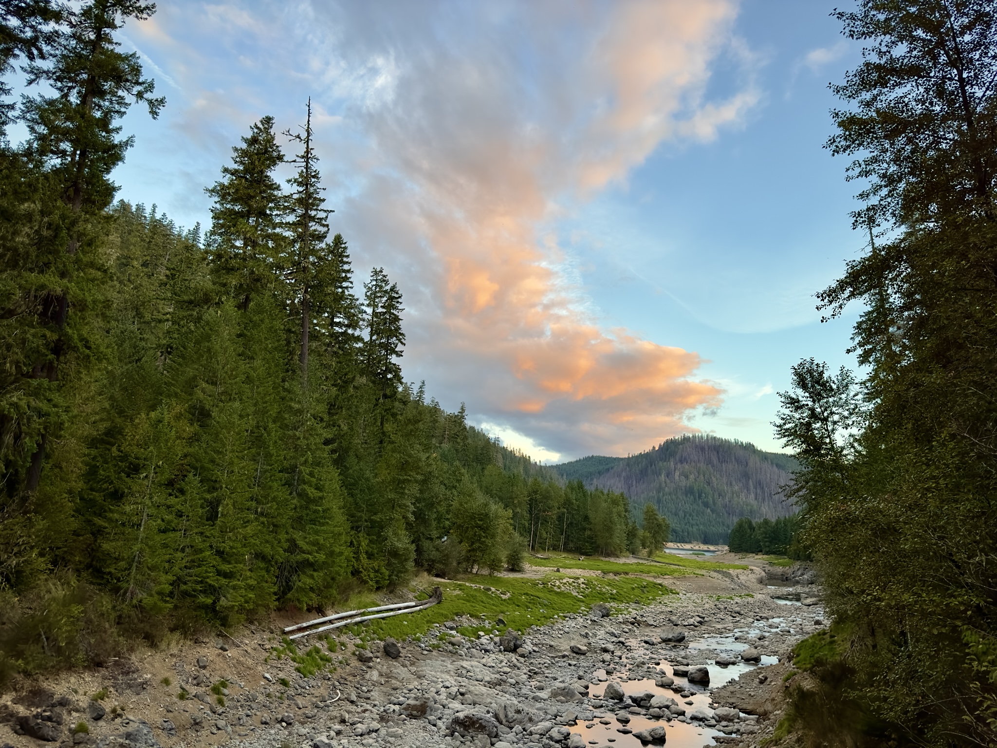
A creek and patch of unburned forest near Mack Creek
The Mack Creek gaging station, unburned, Thanks to the protectsion set up by fire crews. The forest nearby is green, indicating that the fire bypassed this area.
Smoke and ash in the understory. This was a controlled burn the fire crews used to establish a containment line.
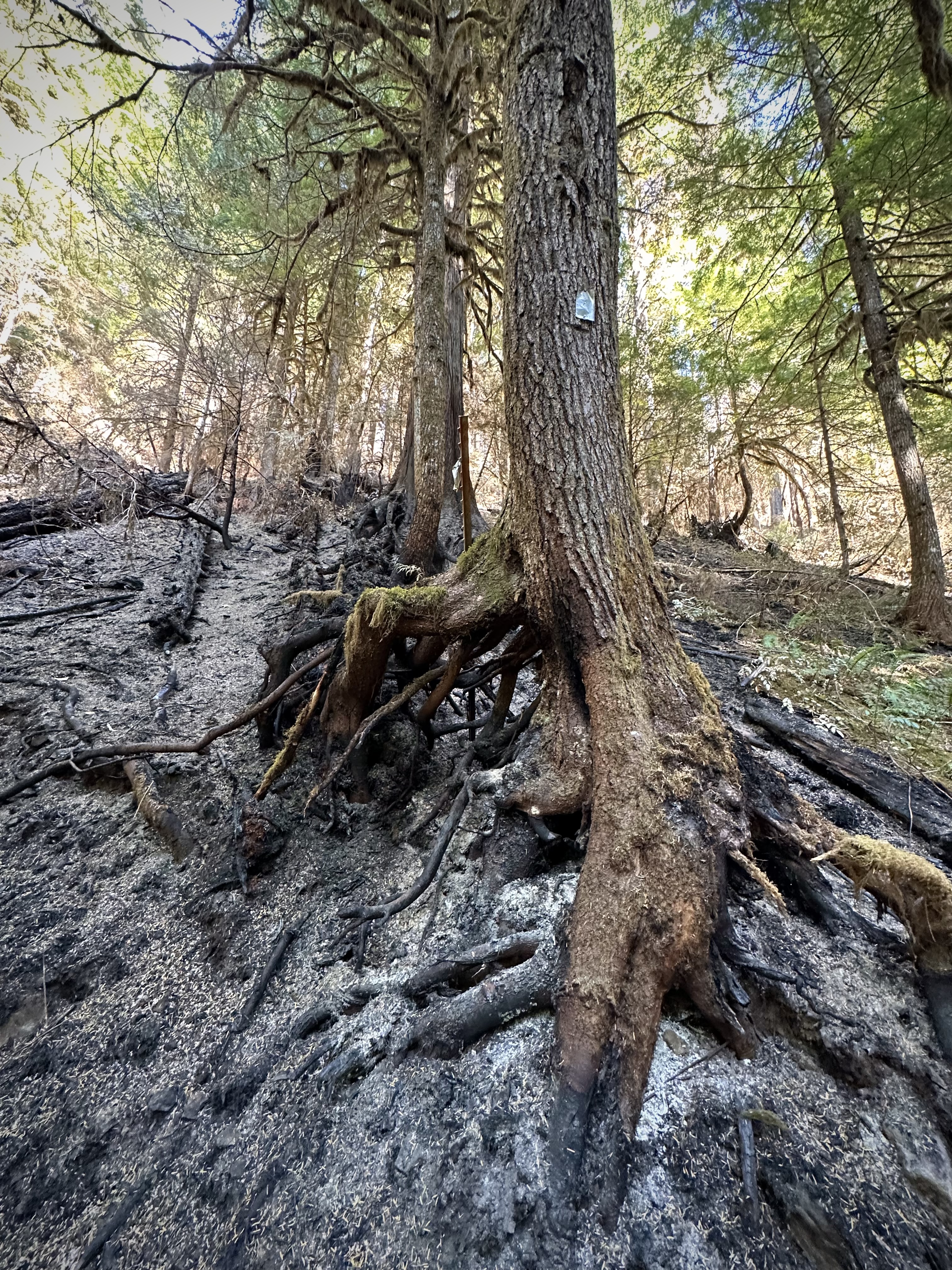
Smoke and ash in the understory. The metal tag on the tree indicates that it is part of a long-term study on tree growth and mortality.
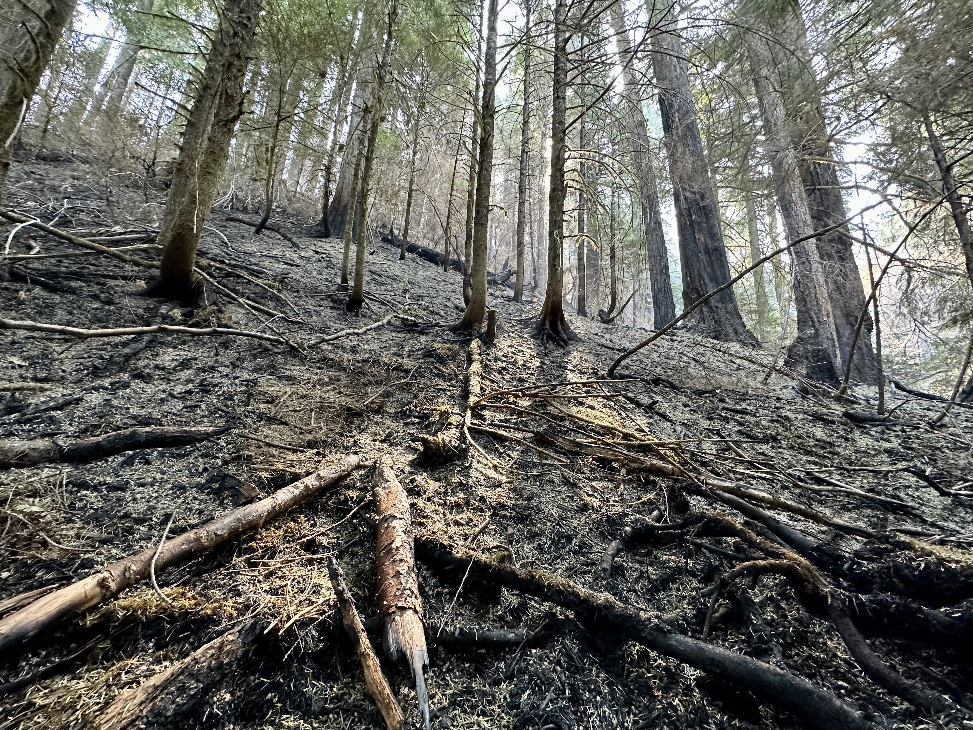
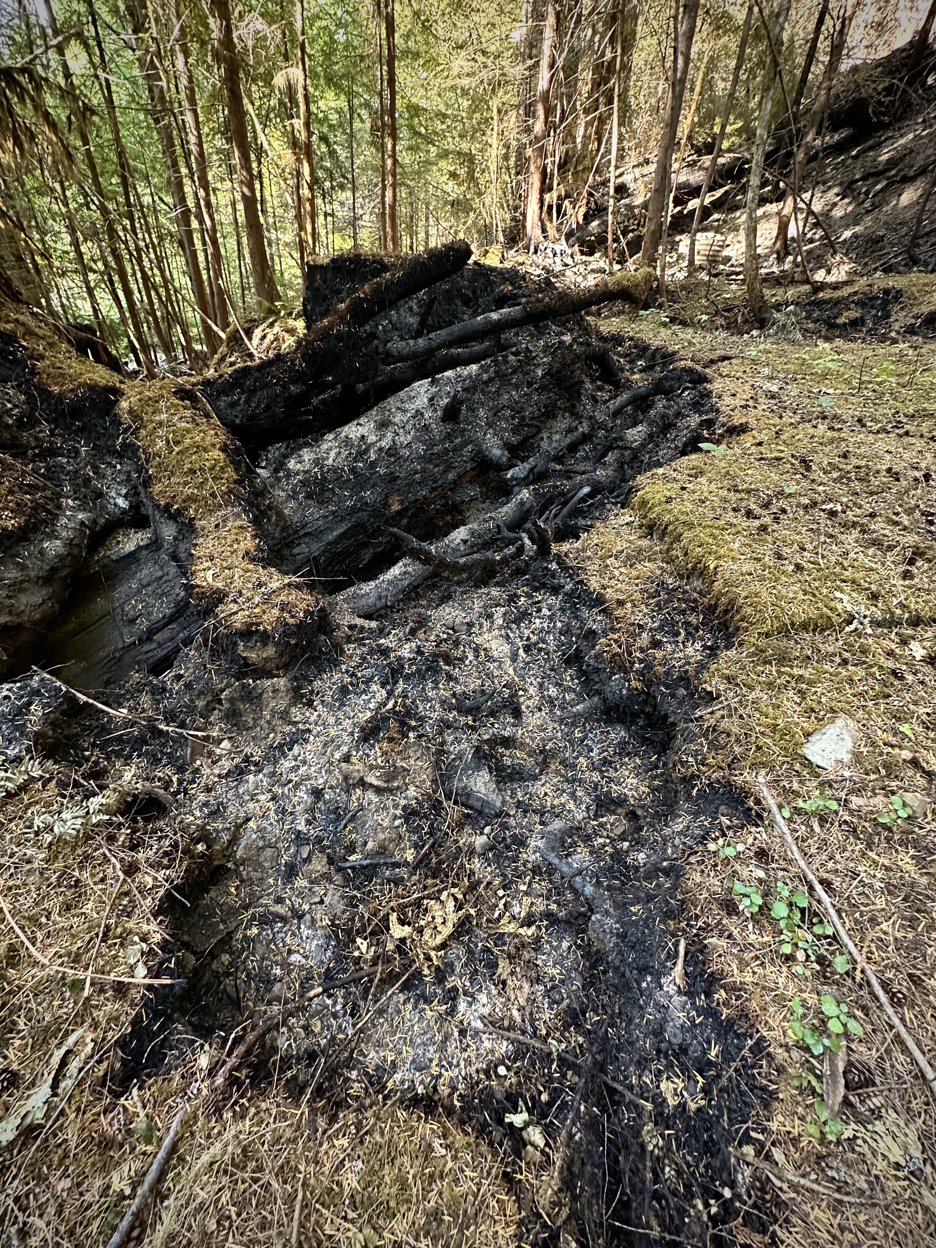
Thick forest duff burned through by the fire. This may have been part of the controlled burn.
A new fire scar on a cedar tree
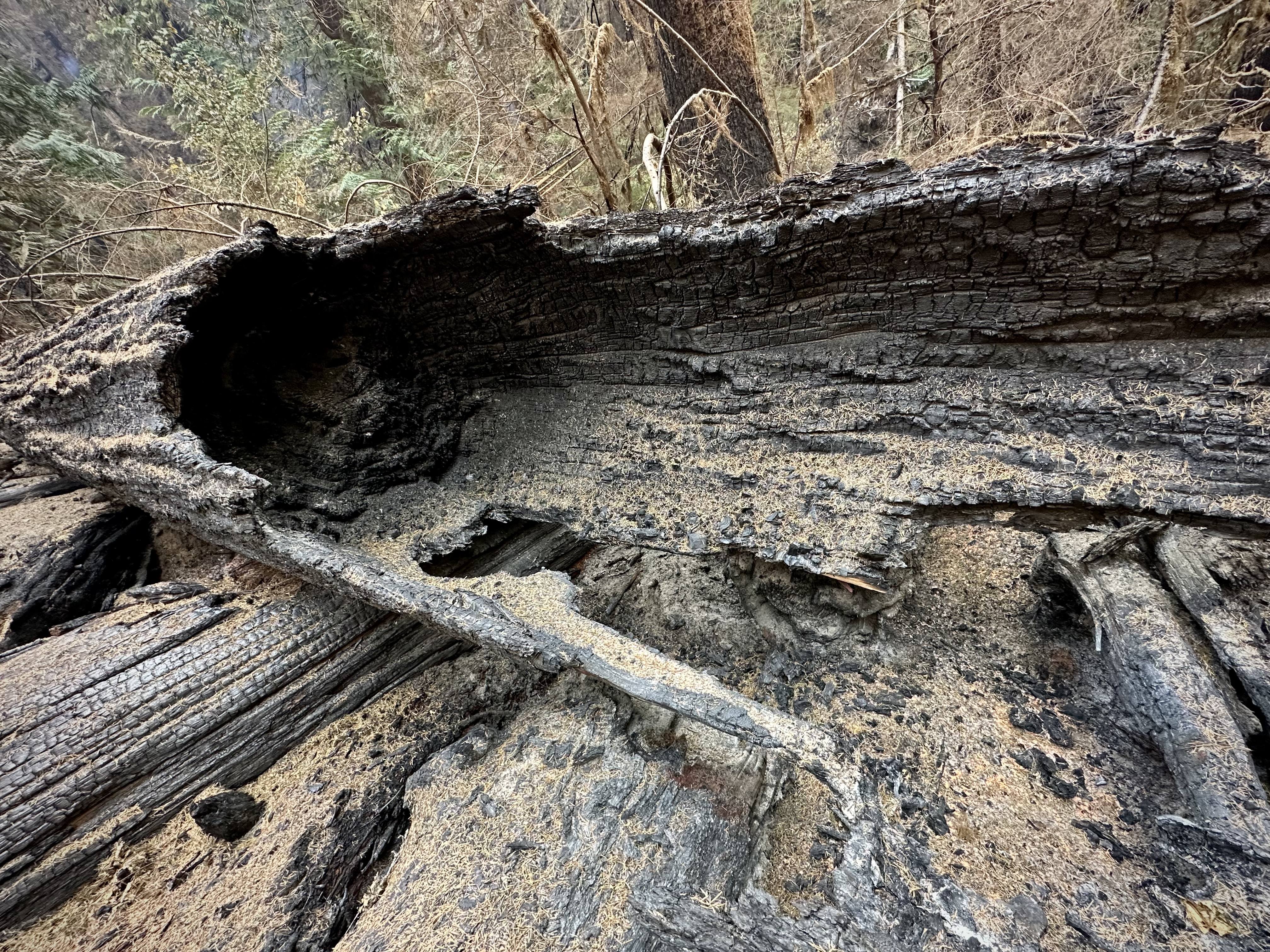
Burned logs
Burned tree buttress and branches of a cedar tree
An area of mixed fire severity, where some areas are charred and other areas are left green.
Burned roots of a cedar tree along a roadside in the HJ Andrews Experimental Forest
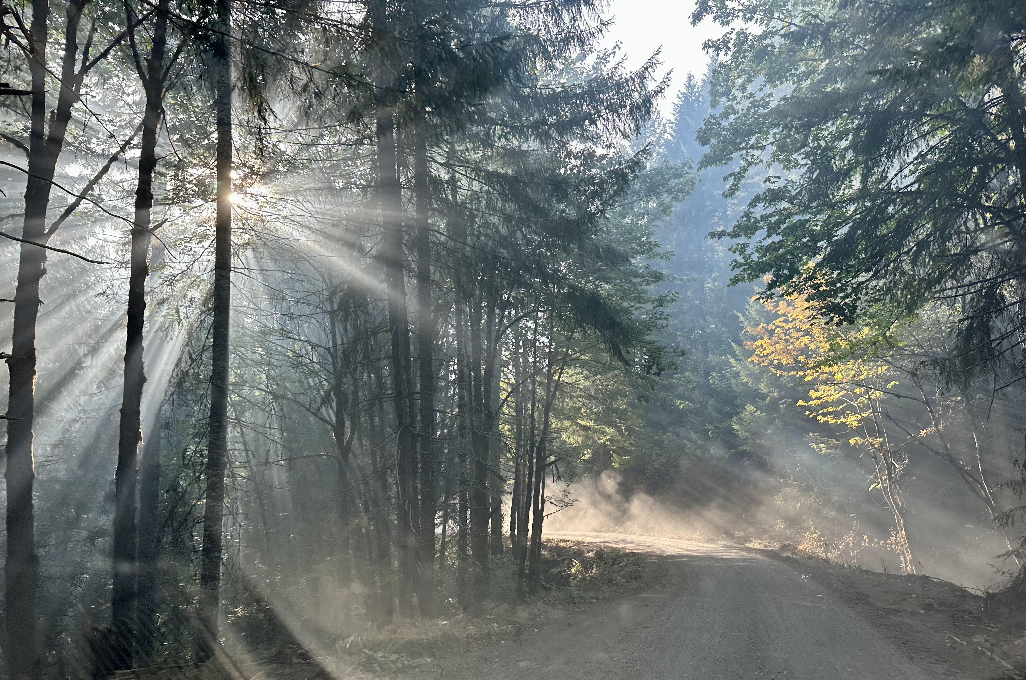
The sun comes through smoke and dust on a road in the HJ Andrews Experimental Forest
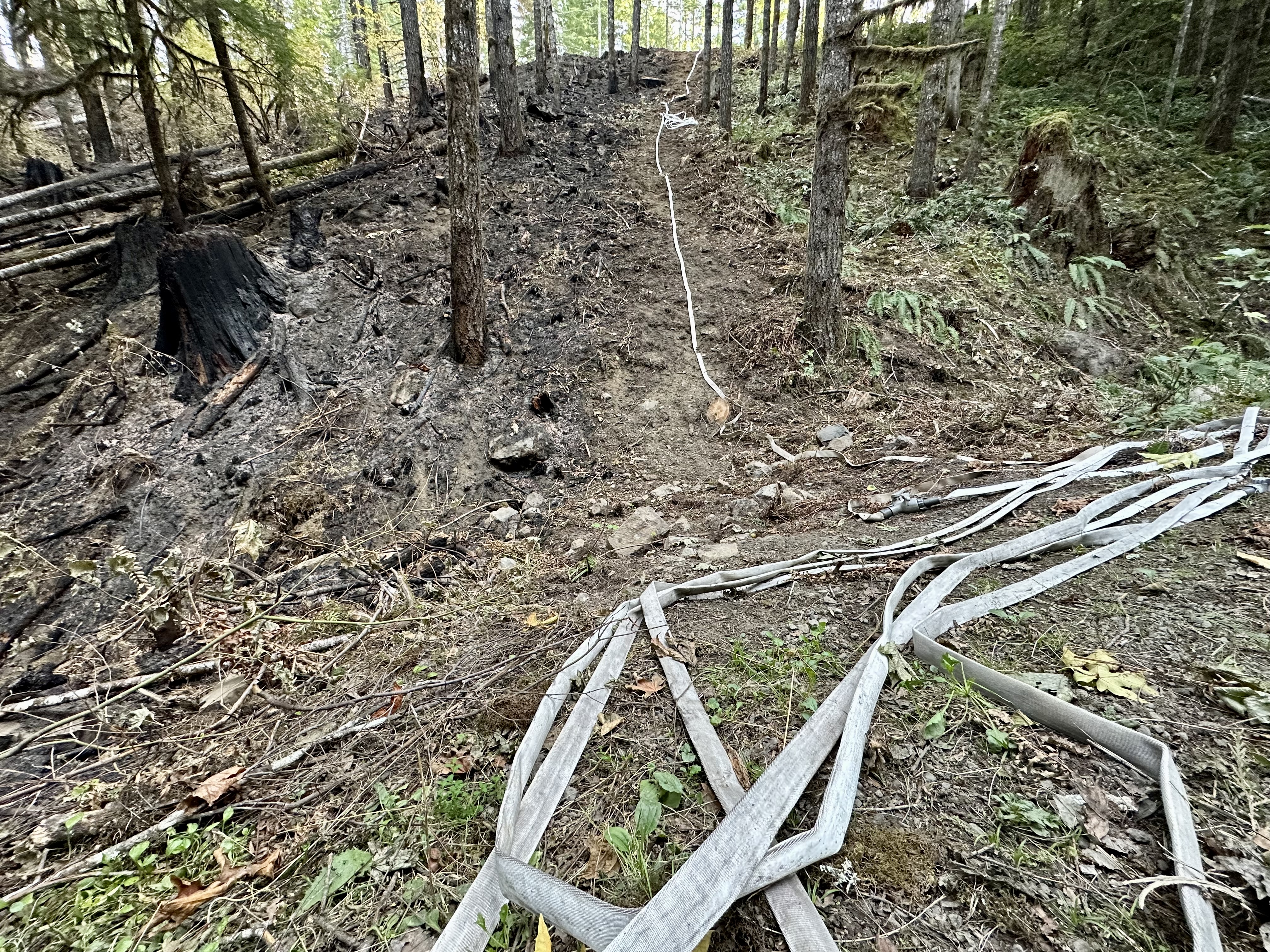
A containment line, a hand line, dug by hand to bare soil, layed with hose, and then burned to one side to remove fuels
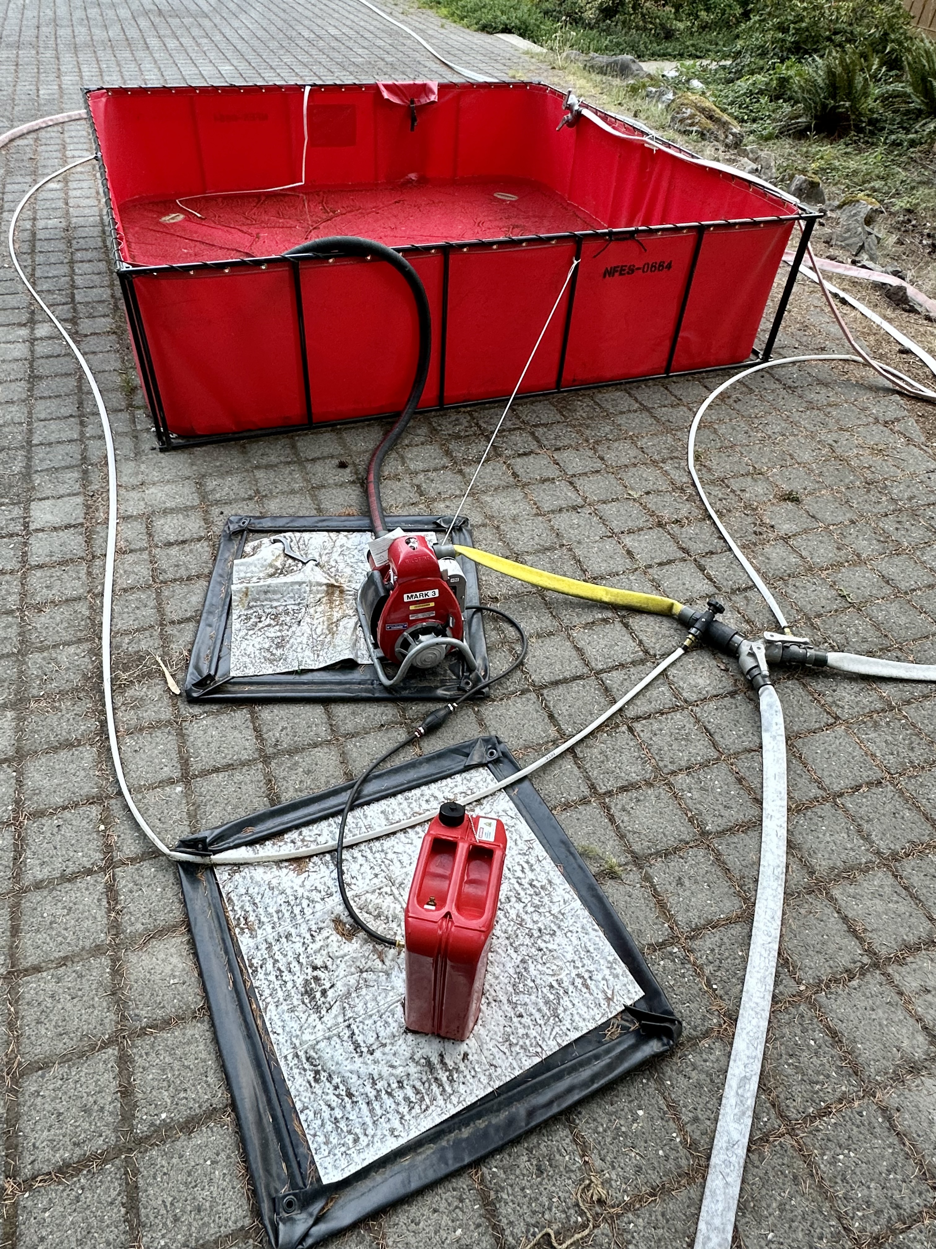
Water holding tanks, hoses, and pumps, set up by fire crews, to protect the buildings
Water holding tanks, hoses, and pumps, set up by fire crews, to protect the buildings
An old-growth tree
Huge, old growth trees are an important part of the HJ Andrews Experimental Forest
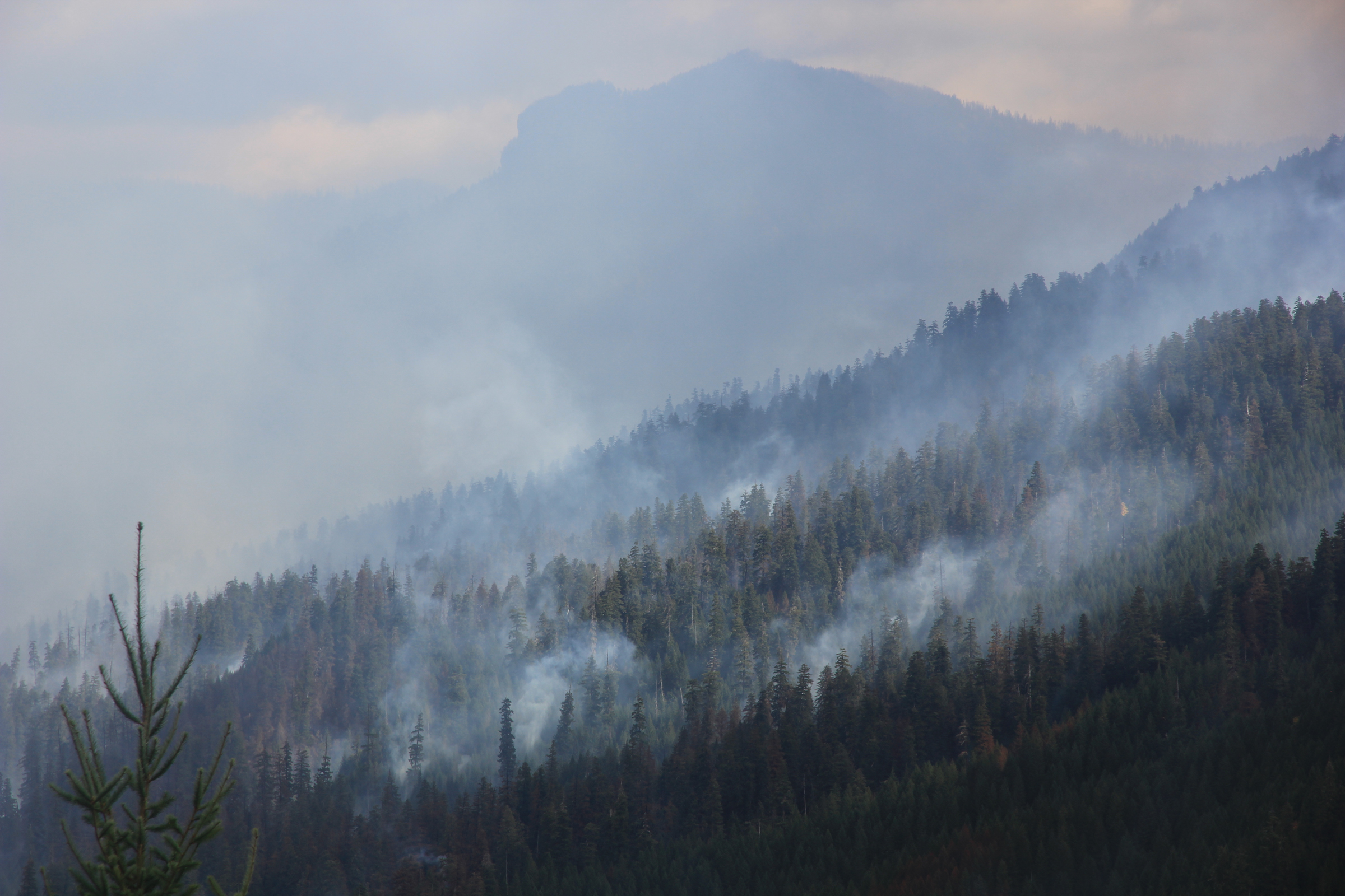
A view over Blue River Reservoir to the smoke from the Lookout Fire
Downed wood and sword ferns are common in the understory of old growth forest in the HJ Andrews Experimental Forest. This is Watershed 2
Hoses and pumps are set up to protect the research gage house in Watershed 2
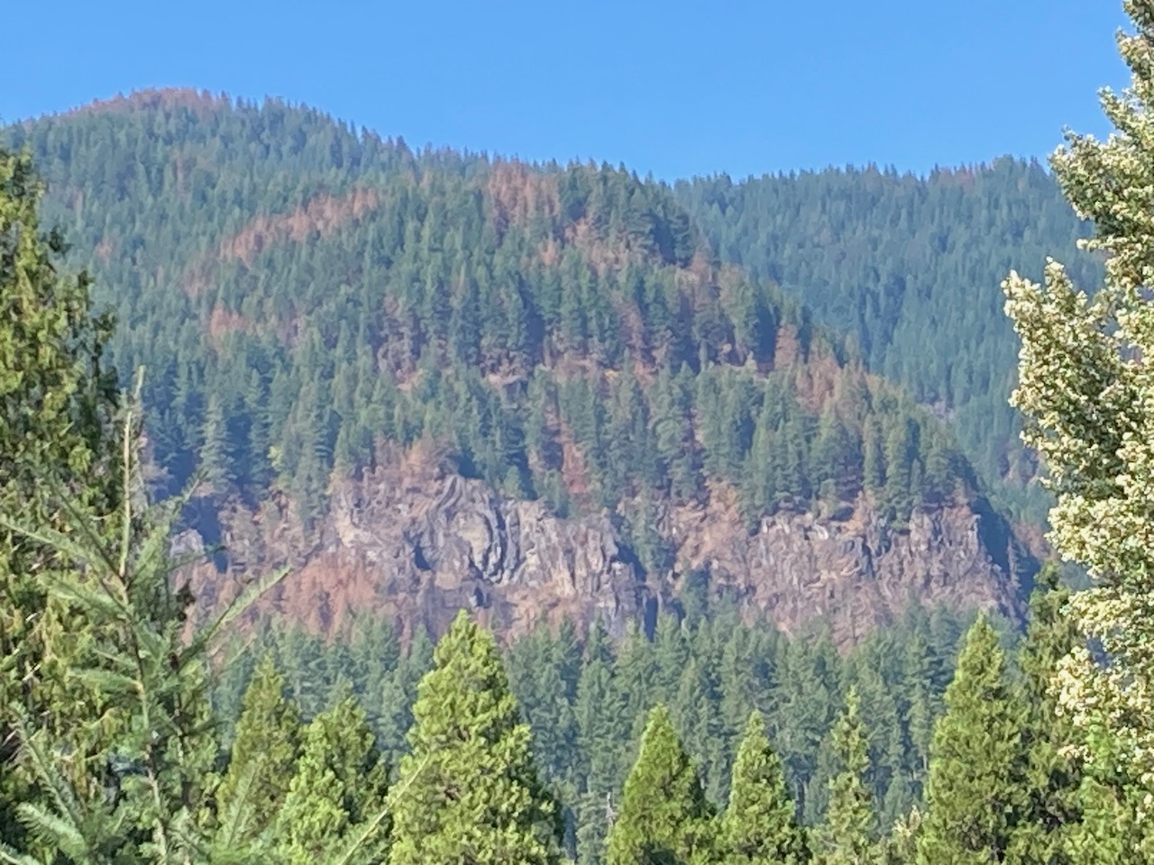
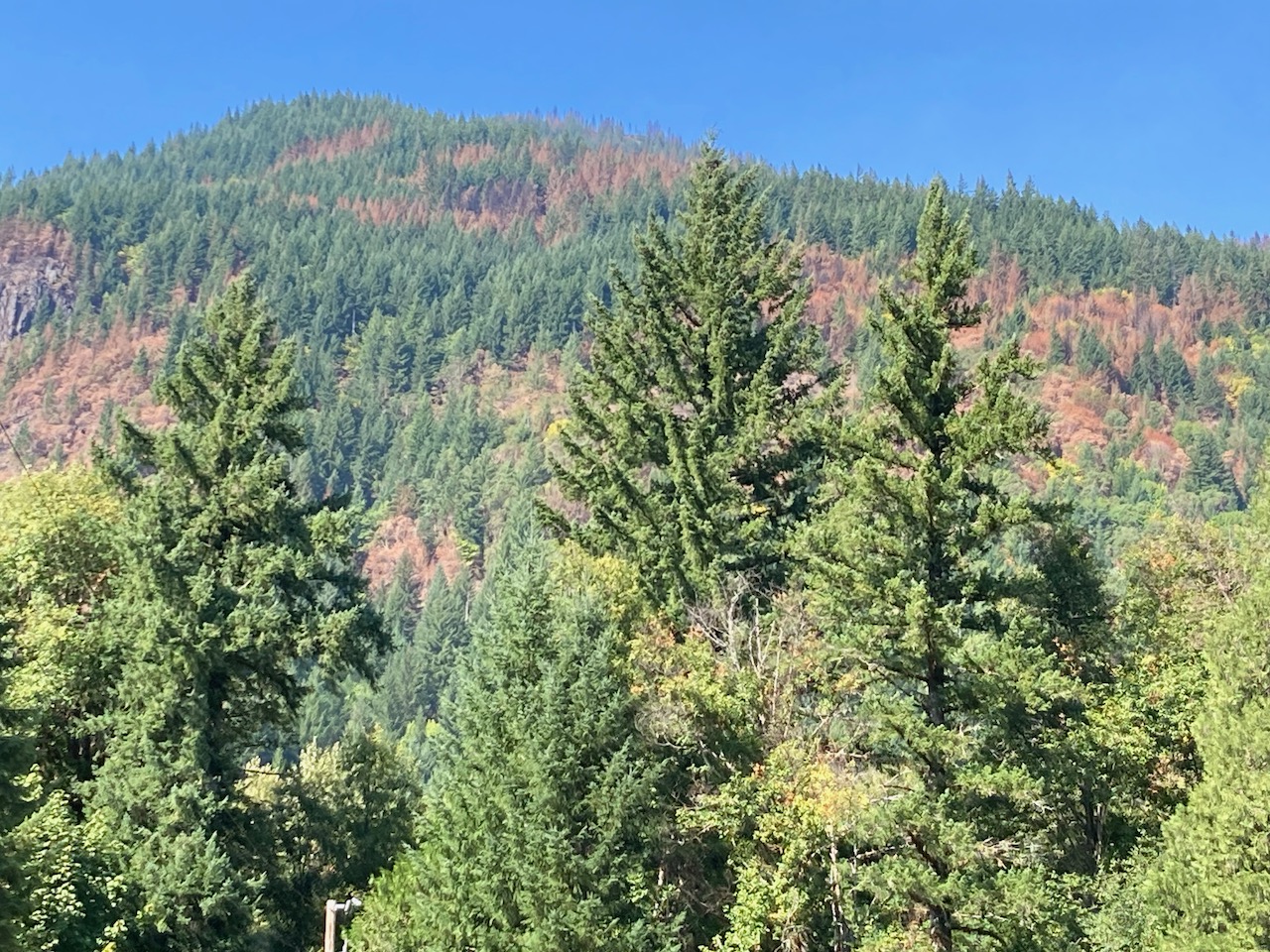
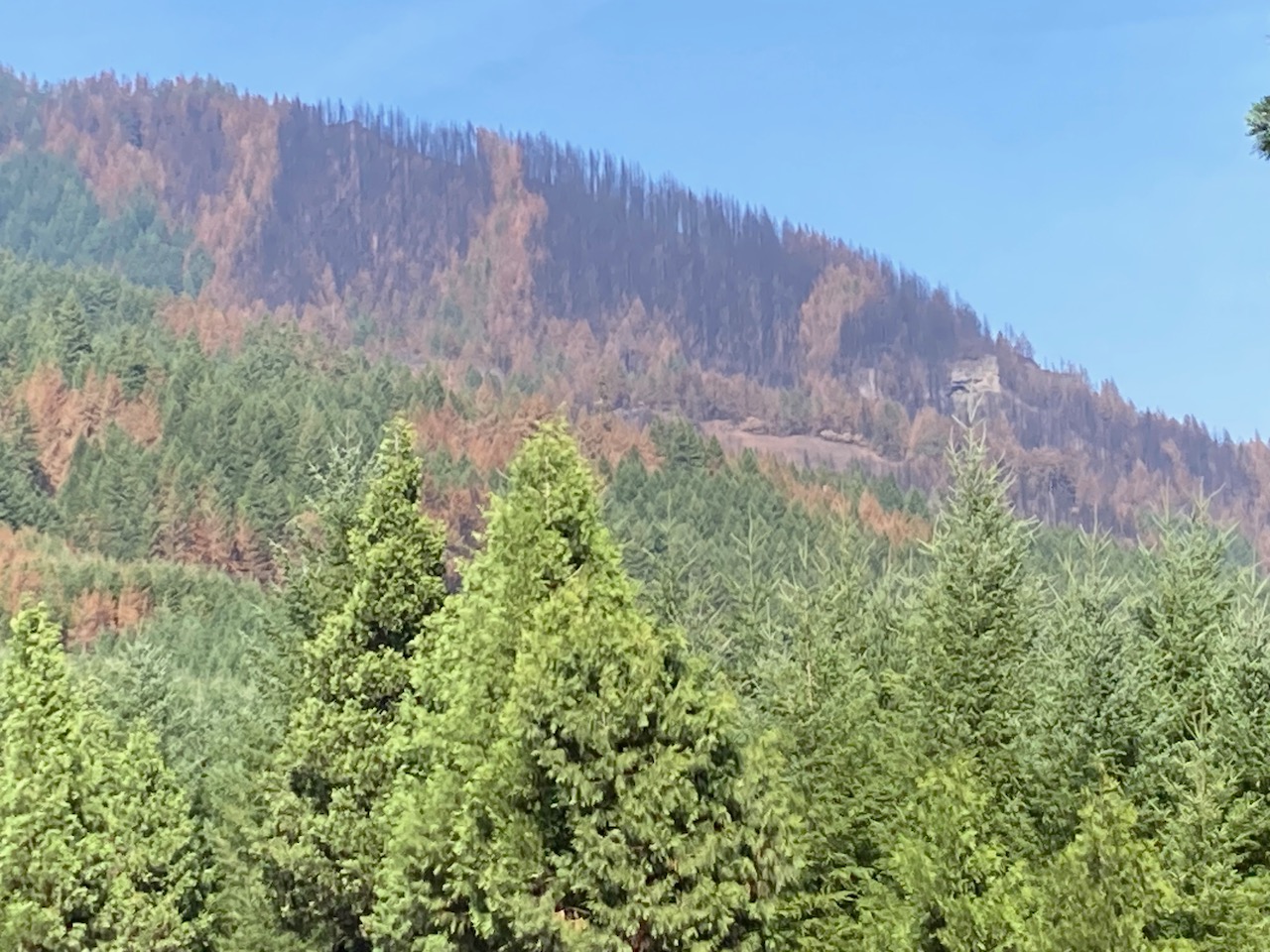
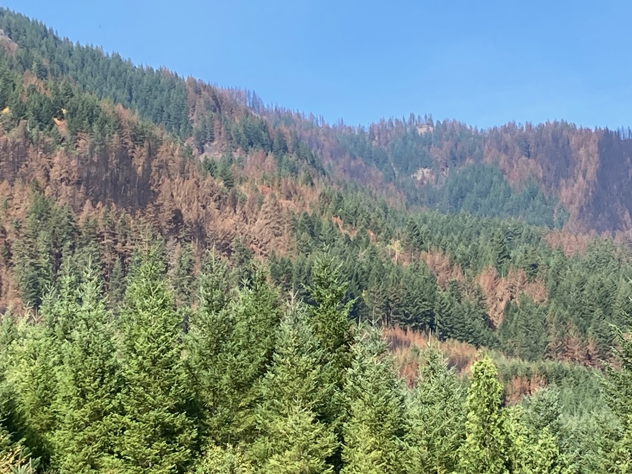
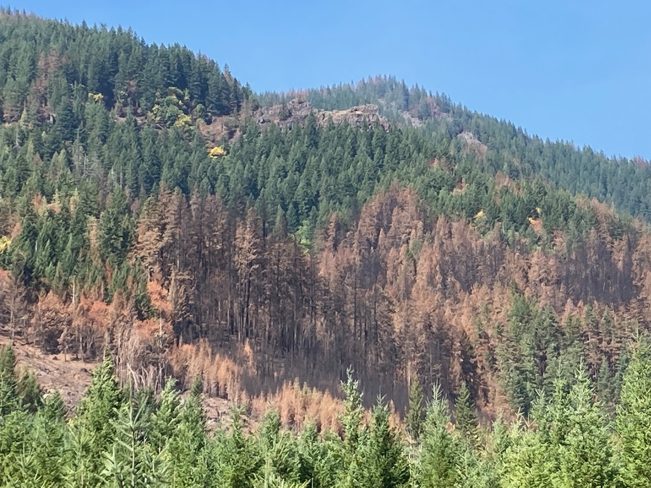
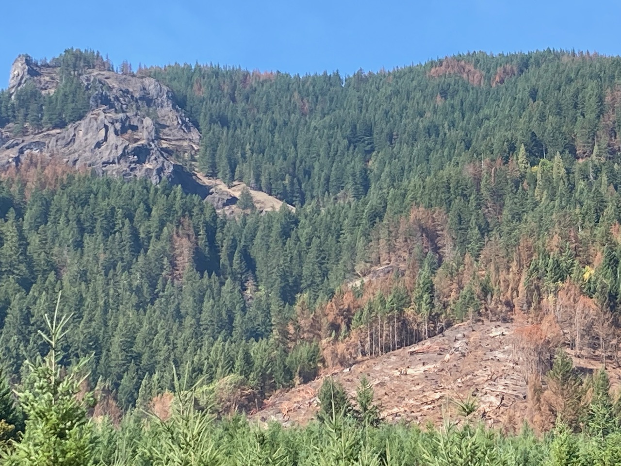
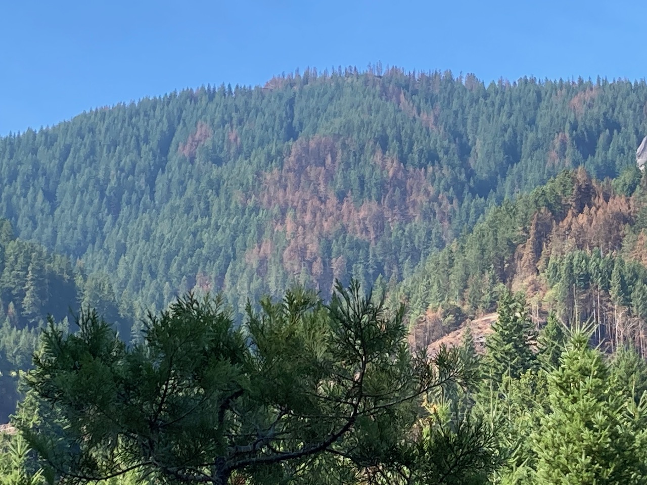
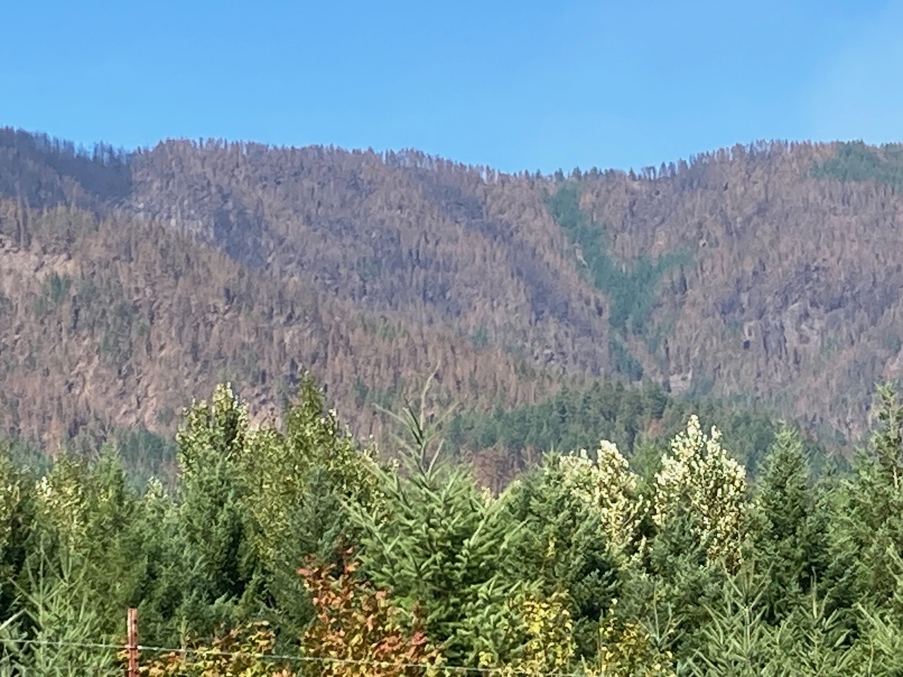
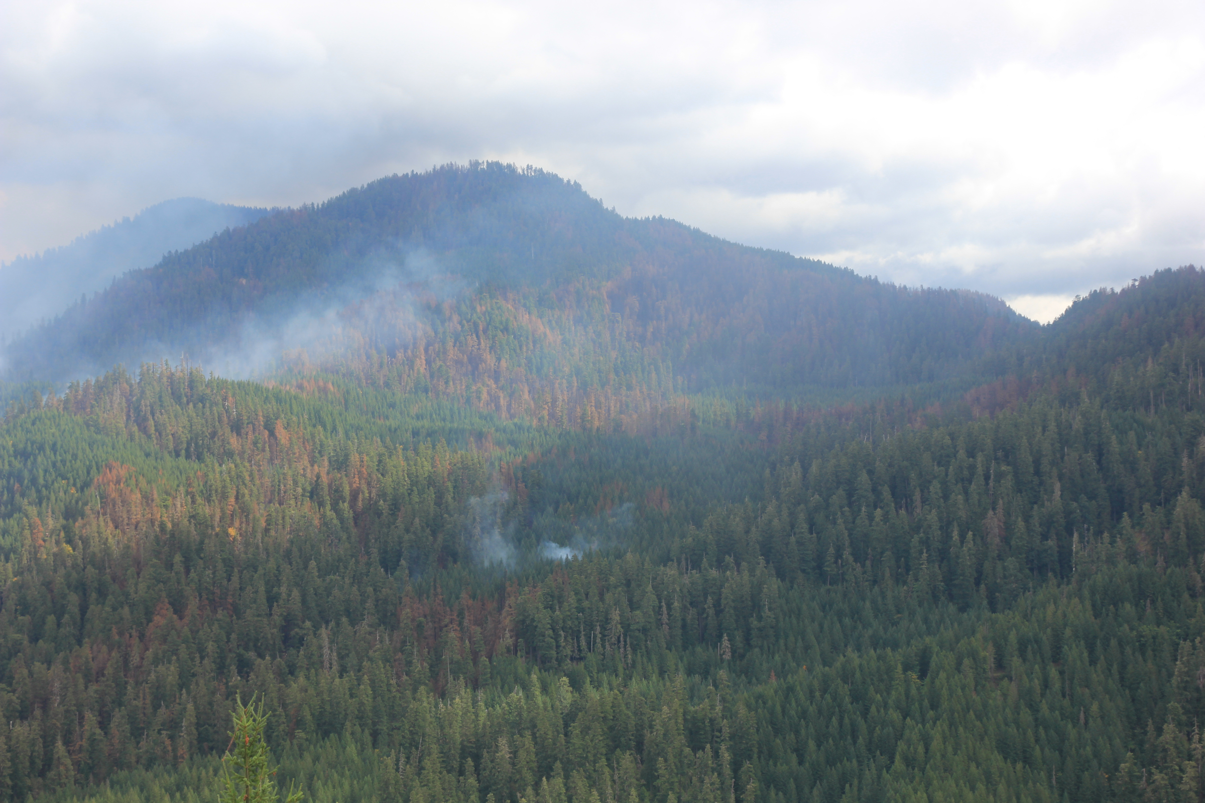
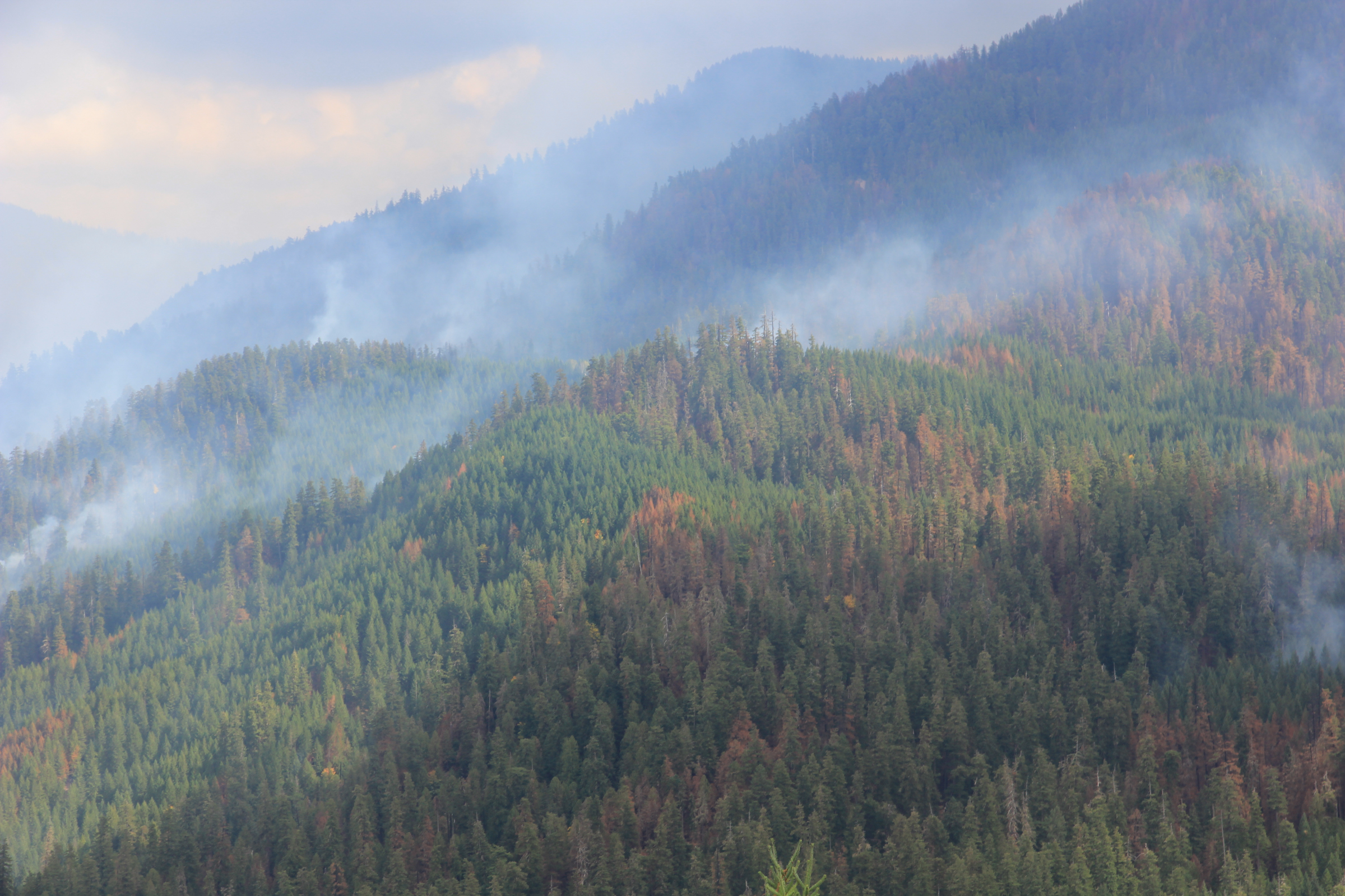
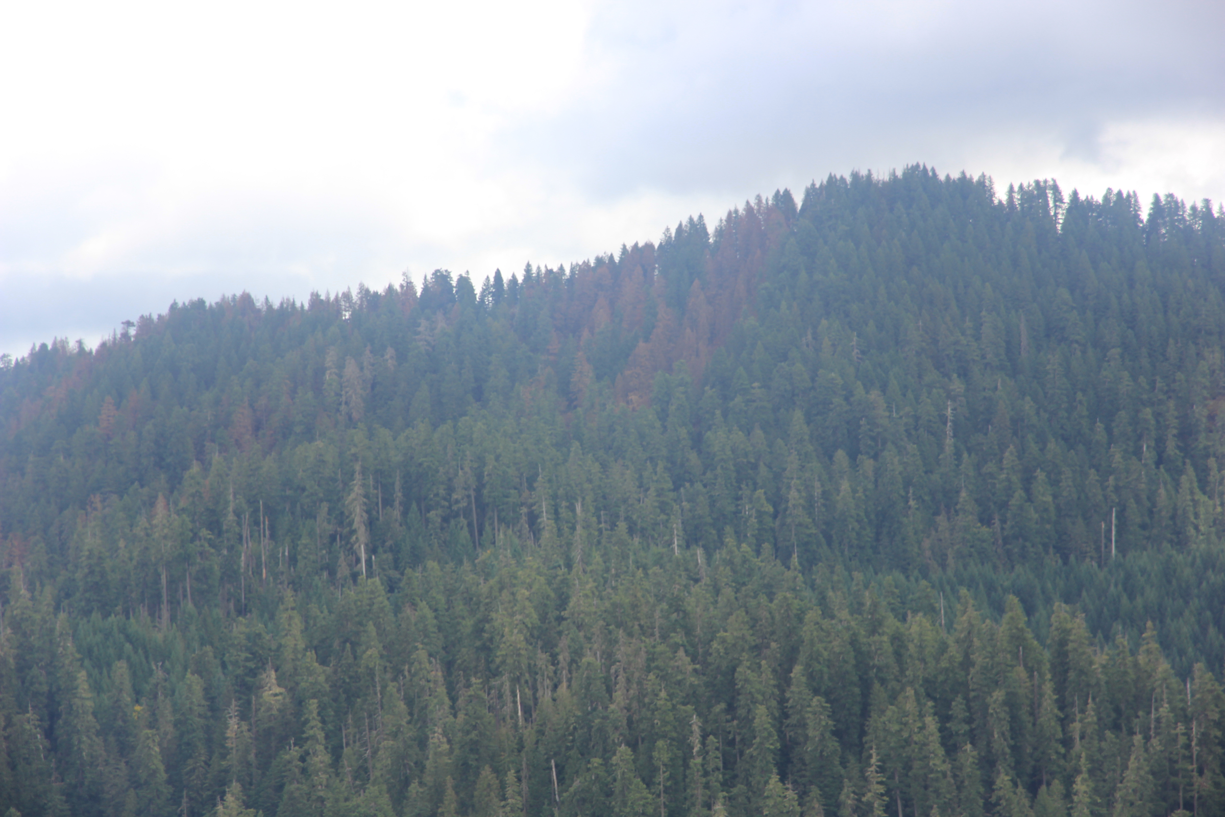
A view from HWY 126 towards Lookout Mountain with a view of the mosaic of fire severity on the landscape
A view from HWY 126 towards Lookout Mountain with a view of the mosaic of fire severity on the landscape
A view from HWY 126 towards Lookout Mountain with a view of the mosaic of fire severity on the landscape
A view from HWY 126 towards Lookout Mountain with a view of the mosaic of fire severity on the landscape
A view from HWY 126 towards Lookout Mountain with a view of the mosaic of fire severity on the landscape
A view from HWY 126 towards Lookout Mountain with a view of the mosaic of fire severity on the landscape
A view from HWY 126 towards Lookout Mountain with a view of the mosaic of fire severity on the landscape
A view from HWY 126 towards Lookout Mountain with a view of the mosaic of fire severity on the landscape
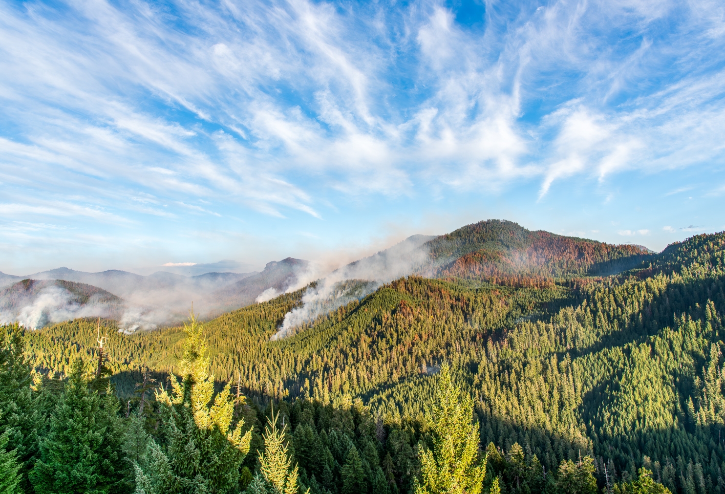
View of Lookout Ridge from FSR 130 above a rock quarry and at an existing research site
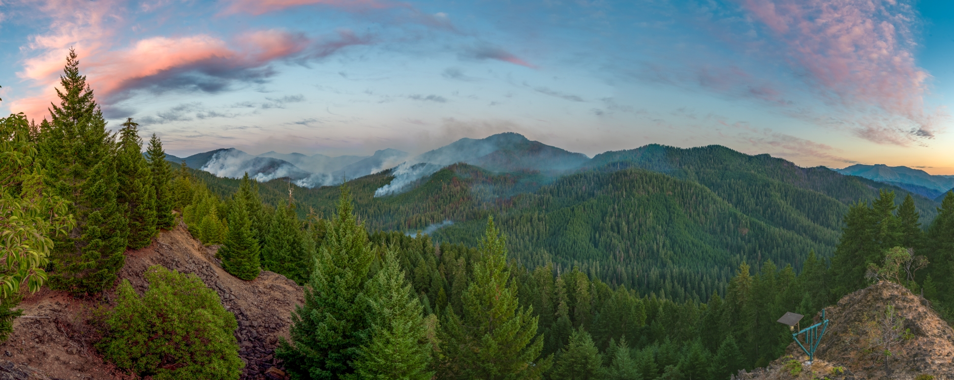
Sunset panorama of Lookout Ridge from FSR 130 above a rock quarry and at an existing research site
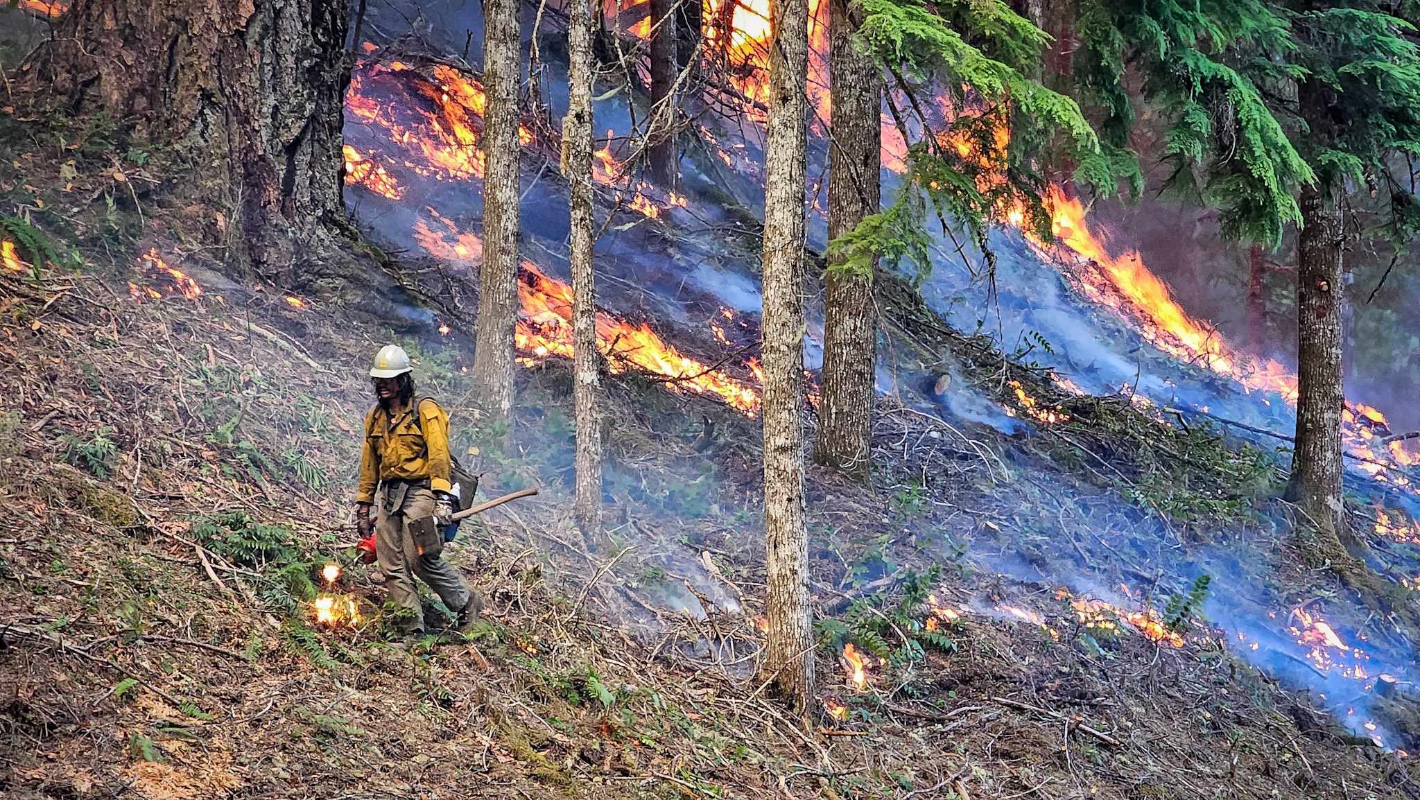
An Inyo Hotshot engaging in backburning with a drip torch off of FSR 465
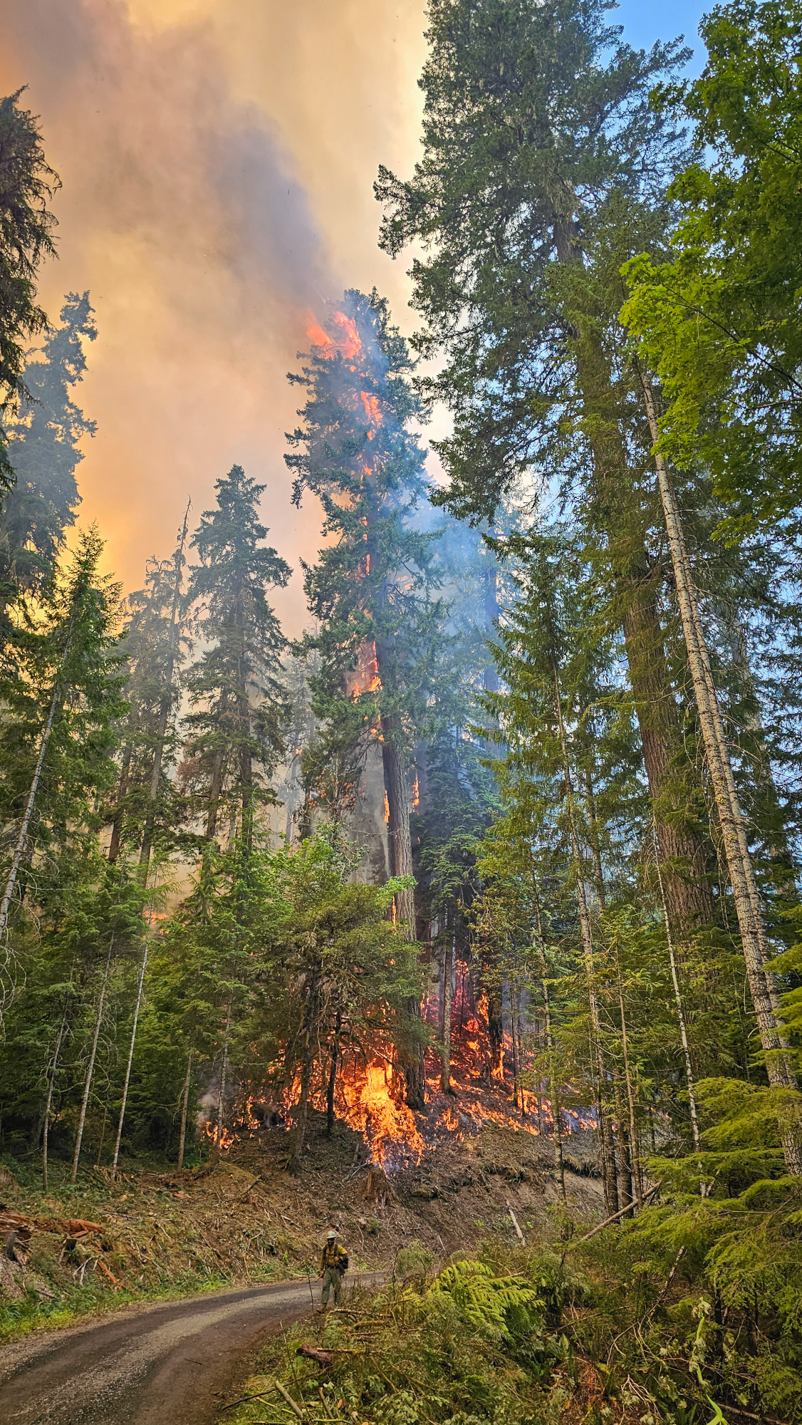
A tree torching during backfiring off of FSR 465
The fire slowly creeping down the hill at Mack Creek near the gage house, just across the FSR 360 bridge by the outhouse, which burned down
Photo of what we believe to be the remains of the old outhouse at Mack Creek, just across the FSR 360 bridg
Mark Schulze, Forest Director of the HJ Andrews Experimental Forest, climbing down from Roswell Tower after installing a live webcam to assist with fire operations.
A Wolf Creek Hotshot mopping-up along a handline on a steep slope above FSR 465 and Watershed 3
View of Lookout Ridge from FSR 130
Lookout ridge and burn mosaic from combination of firing operations and unmanaged spread.
Lookout ridge and burn mosaic from combination of firing operations and unmanaged spread.
Lookout ridge and burn mosaic from combination of firing operations and unmanaged spread.
Lookout ridge and burn mosaic from combination of firing operations and unmanaged spread.
Lookout ridge and burn mosaic from combination of firing operations and unmanaged spread.
Lookout ridge and burn mosaic from combination of firing operations and unmanaged spread.
Lookout ridge and burn mosaic from combination of firing operations and unmanaged spread.
Lookout ridge and burn mosaic from combination of firing operations and unmanaged spread.
Lookout ridge and burn mosaic from combination of firing operations and unmanaged spread.
Lookout ridge and burn mosaic from combination of firing operations and unmanaged spread.
Lookout ridge and burn mosaic from combination of firing operations and unmanaged spread.
Lookout ridge and burn mosaic from combination of firing operations and unmanaged spread.
Lookout ridge and burn mosaic from combination of firing operations and unmanaged spread.
Lookout ridge and burn mosaic from combination of firing operations and unmanaged spread.
Lookout ridge and burn mosaic from combination of firing operations and unmanaged spread.
Lookout ridge and burn mosaic from combination of firing operations and unmanaged spread.


