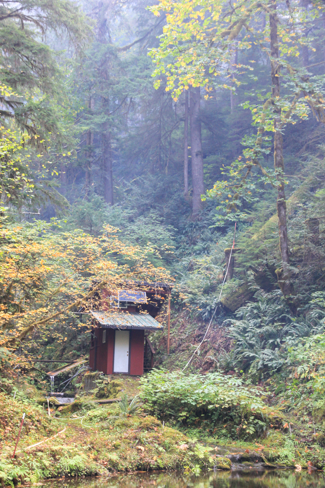
Watershed 2 gage house and sediment basin, with firehose in the foreground
Holiday Farm Fire October 2020
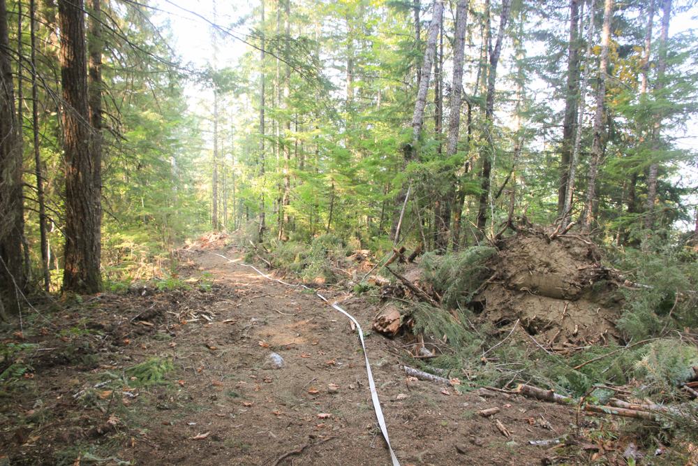
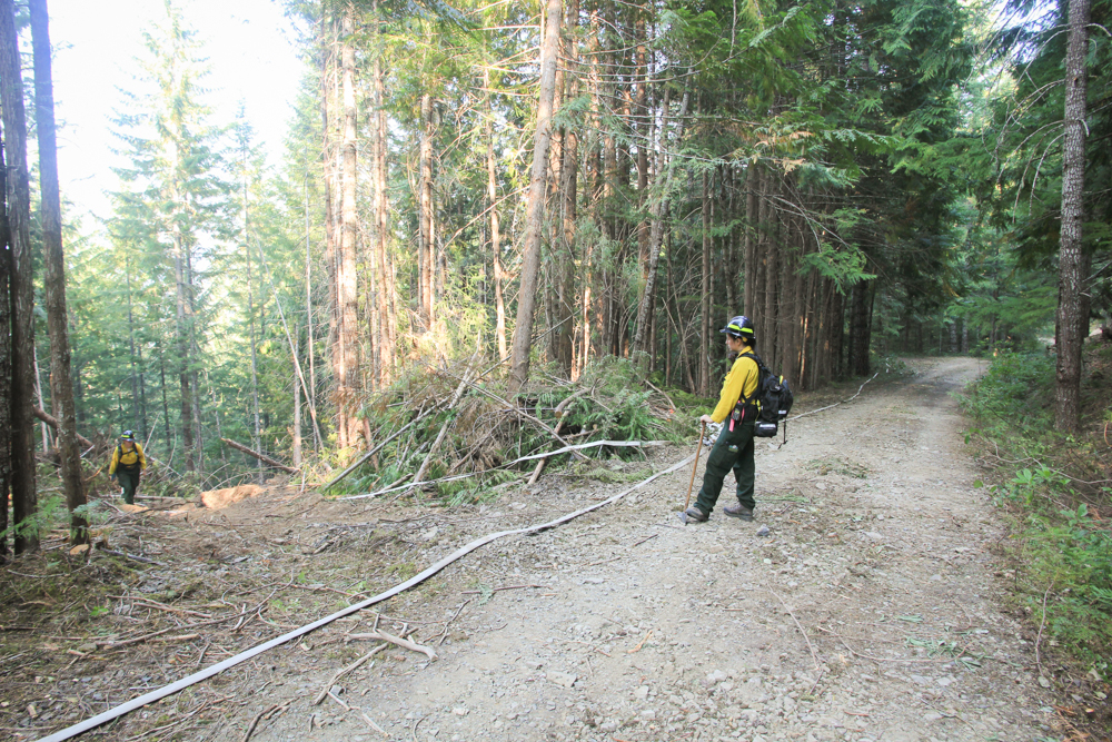
The Holiday Farm Fire ignited the night of September 7, 2020, south of the Andrews Forest. The fire spread quickly, fueled by strong east winds and very dry conditions. The fire eventually entered Watershed 9, then Watershed 1, and finally Watershed 2. The fire burned about 400 acres within the Andrews Forest. This photo gallery features the fire activity and the work of fire crews along the 1507 road and within Watershed 2.
Watershed 2 gage house with fire hose going up the slope toward the active fire area
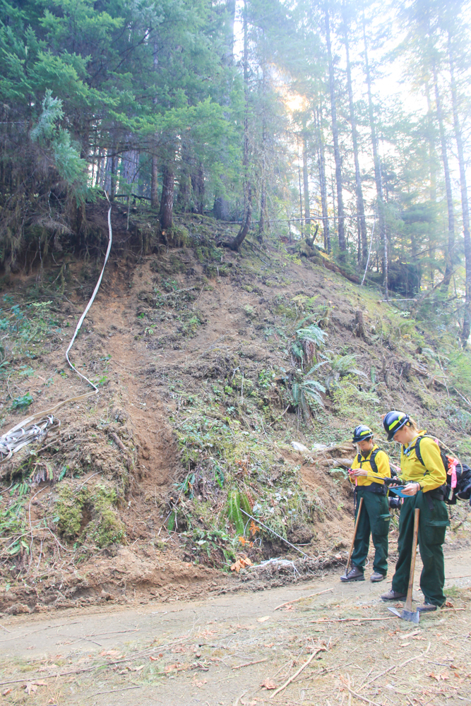
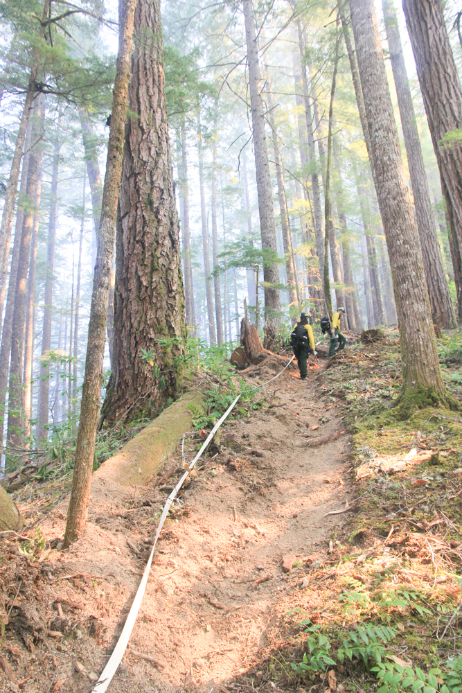
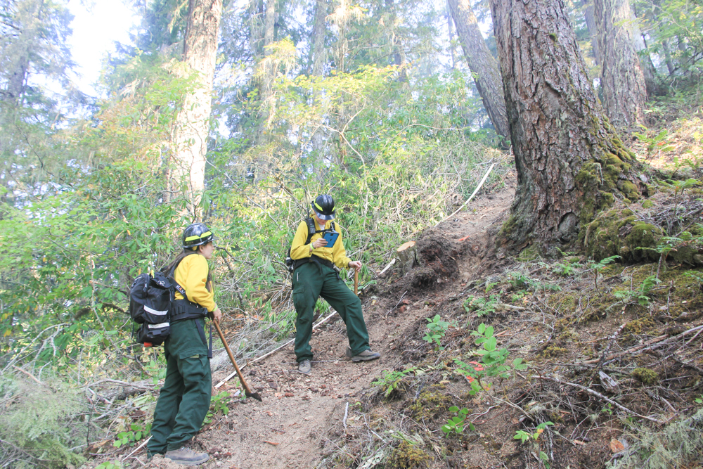
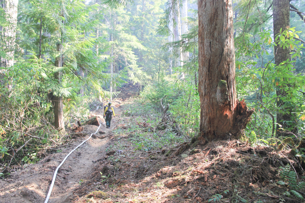
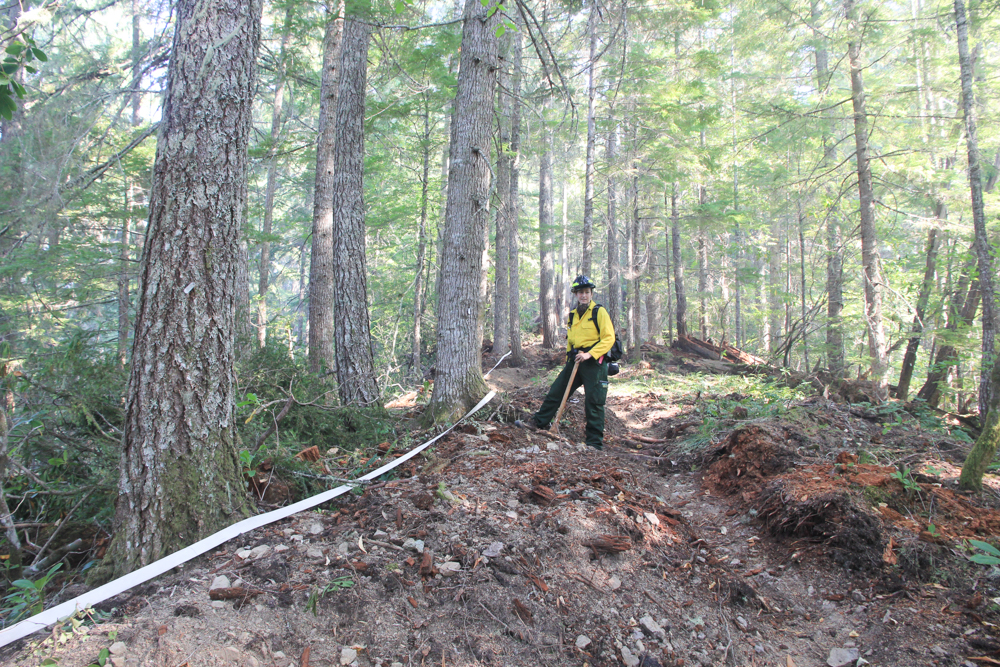
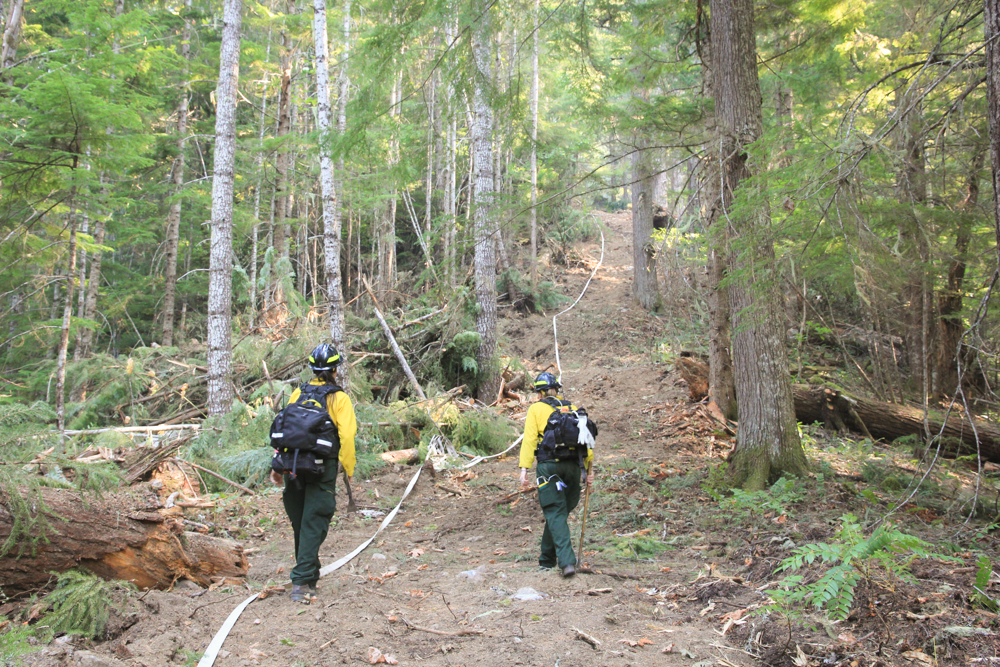
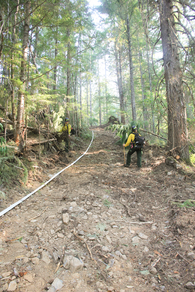
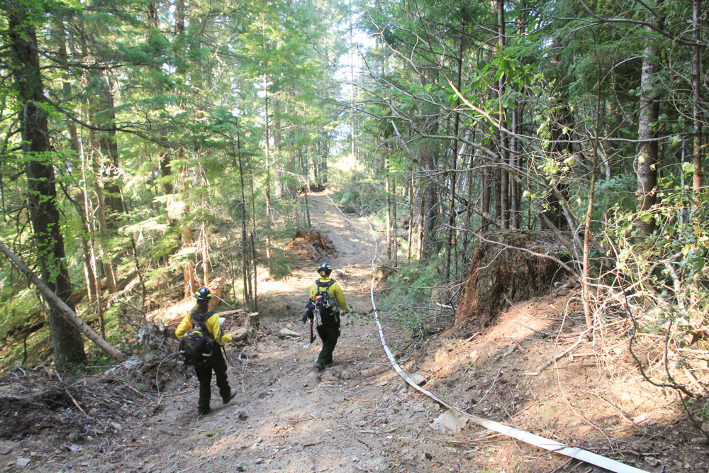
Fire hand line and fire hose moving up the slope in WS2, from the 302 Road. USFS Resource Advisors in foreground.
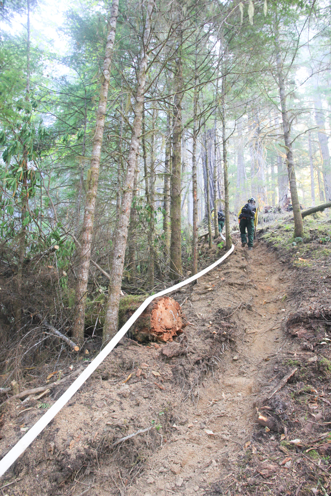
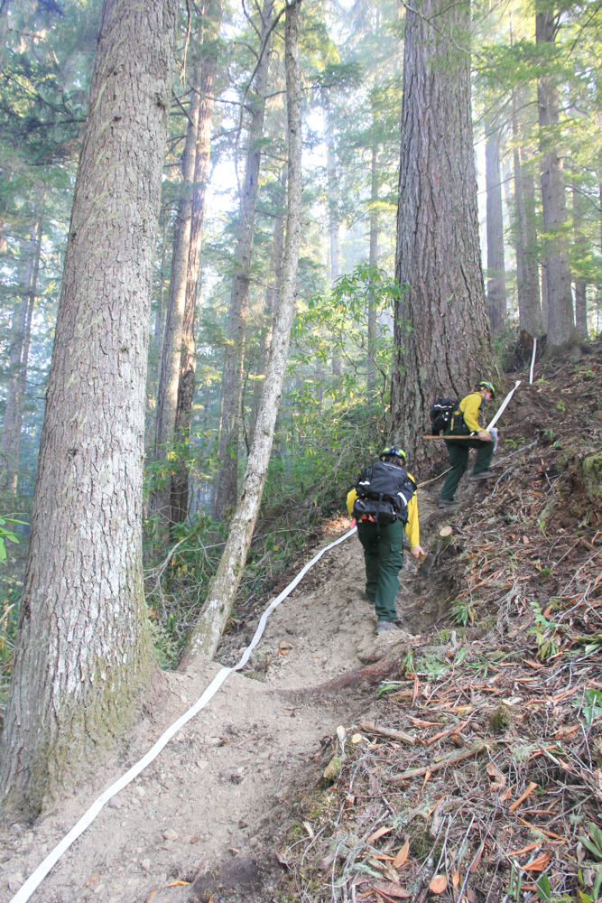
Fire hand line and fire hose traversing up slope in WS2, from the 302 Road.
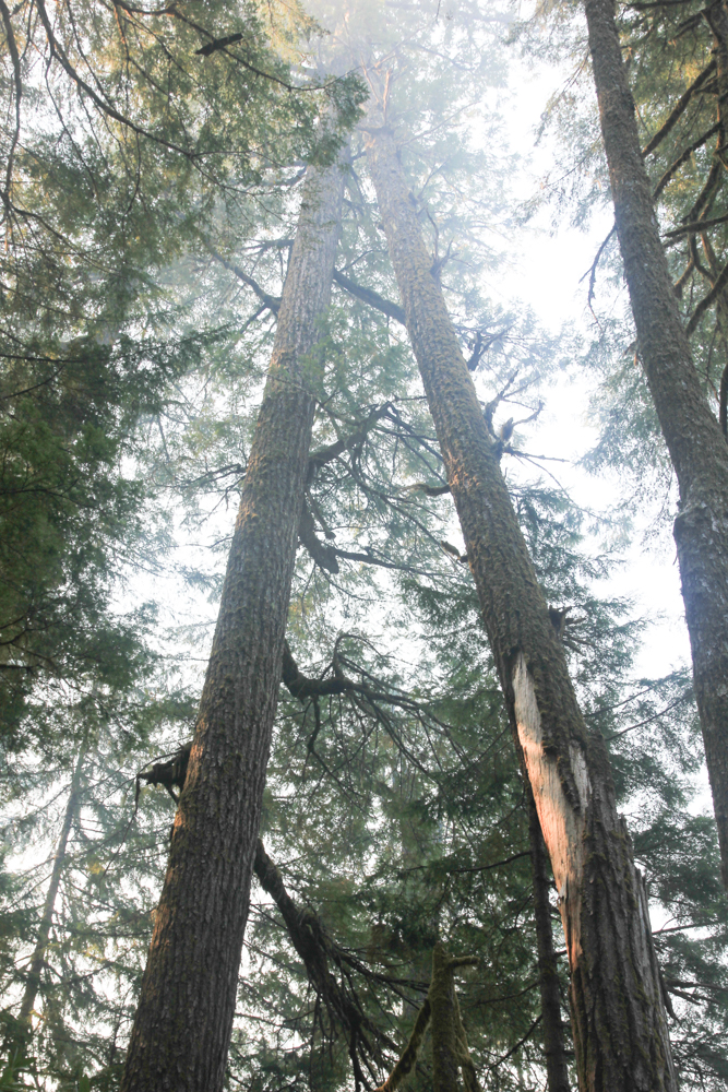
Snags create concerns for the safety of fire crews working the area
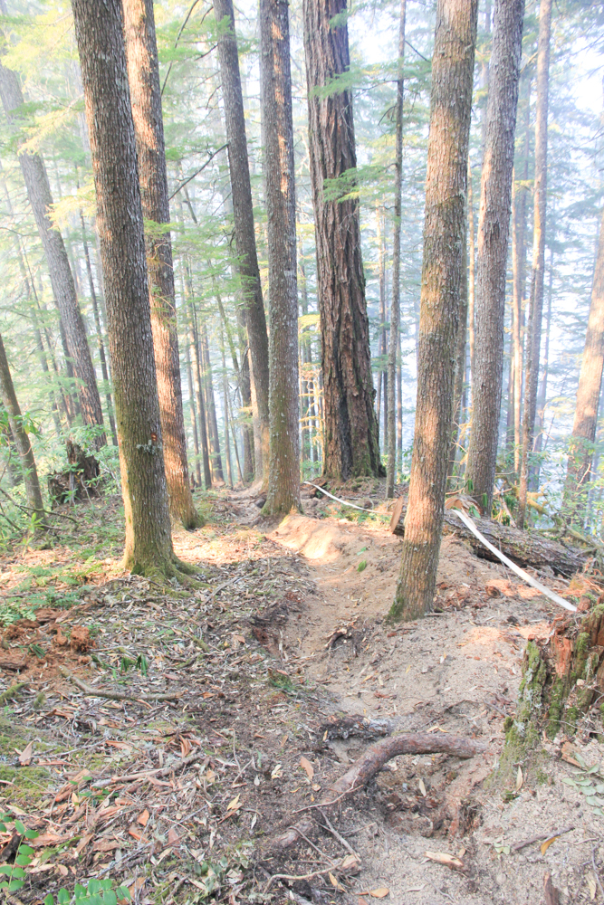
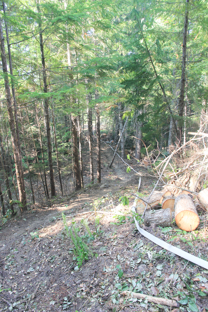
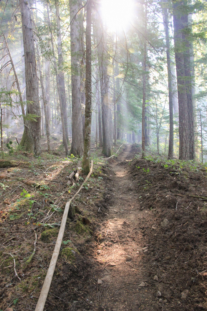
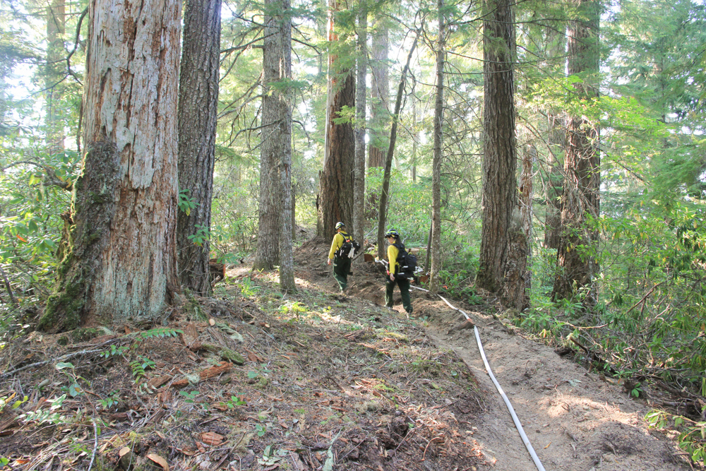
Fire hand line and hose on a slope of WS2
Fire hand line and hose on a slope of WS2
Fire hand line and hose on a slope of WS2
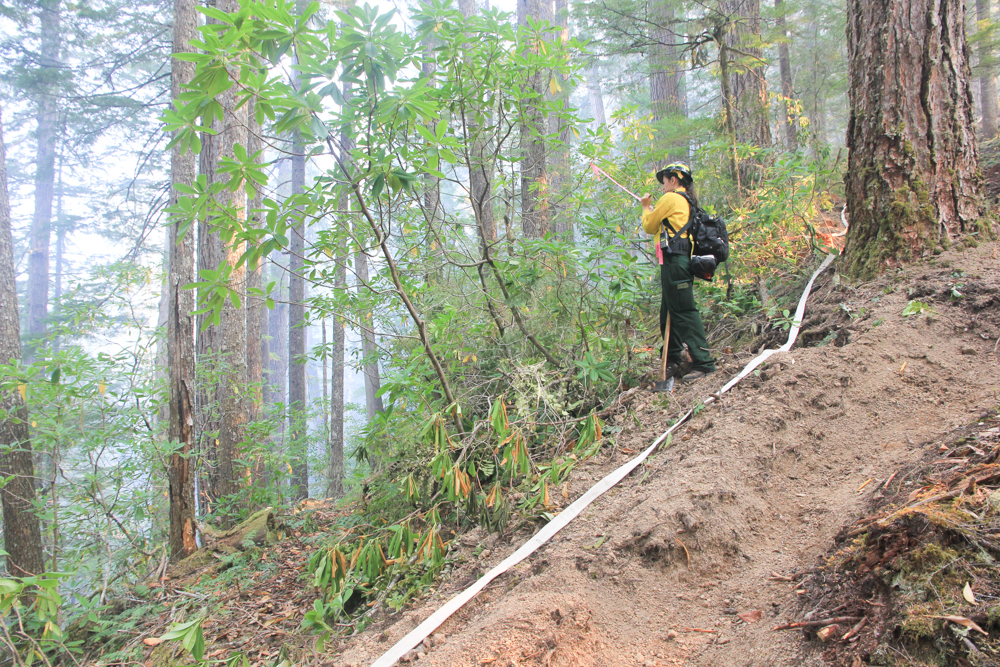
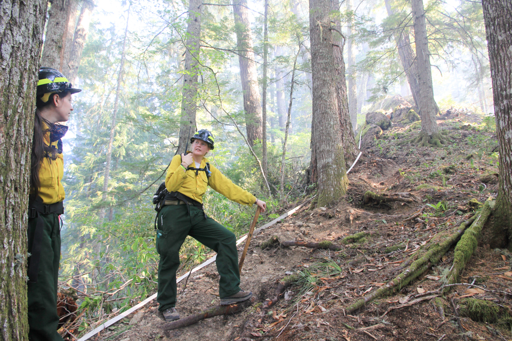
USFS Resource Advisor flags watershed 2 trail crossing along the handline in WS2
Fire hand line and hose on a slope of WS2
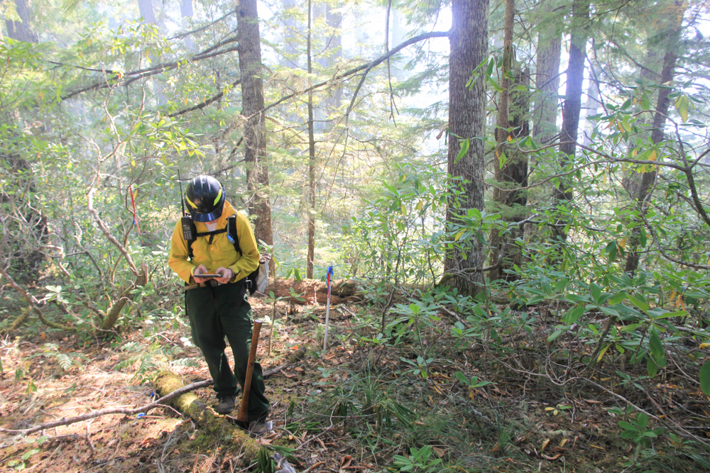
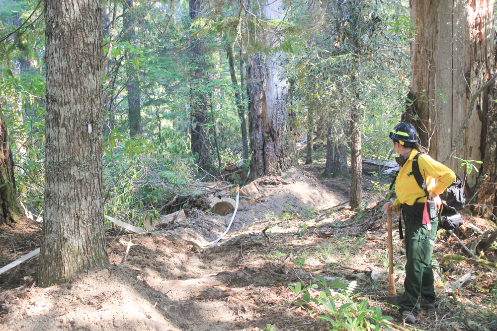
USFS staff survey along the handline in WS2
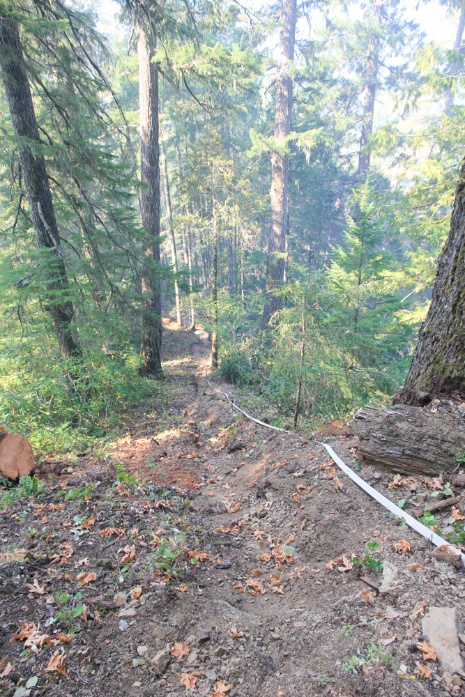
Fire hand line and hose on a slope of WS2
USFS staff survey along the handline in WS2
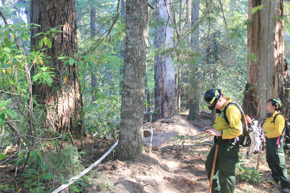
USFS staff survey along the handline in WS2. Note the tags on the nearby trees, indicating that the fire line went through one of the vegetation plots, used since the 1950s to track plant growth and mortality.
USFS Resource Advisor surveys along the handline in WS2. PVC post marking vegetation plot in background
Fire hand line and hose on a slope of WS2
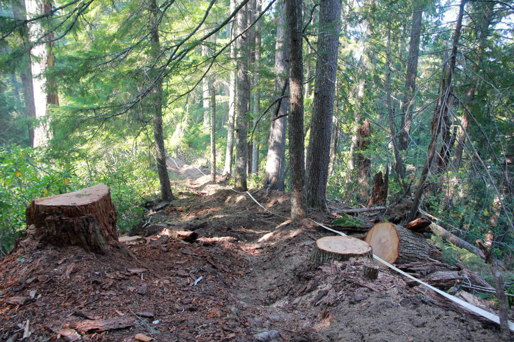
Fire hand line and hose on a slope of WS2. Snags and other hazardous trees were cut along handline.
Fire hand line and hose on a slope of WS2
Fire dozer line in just above 455 road at edge of Watershed 2. Dozer line runs from 465 to 455 roads, at which point even steeper terrain forced crews to use handline the rest of the way downslope to road 302
Fire dozer line in Watershed 2 near road 455.
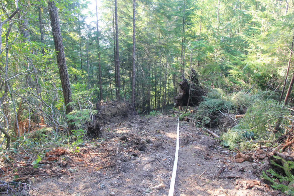
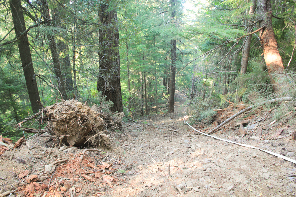
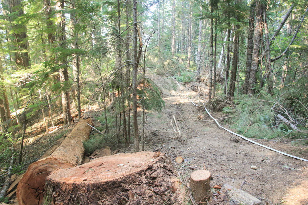
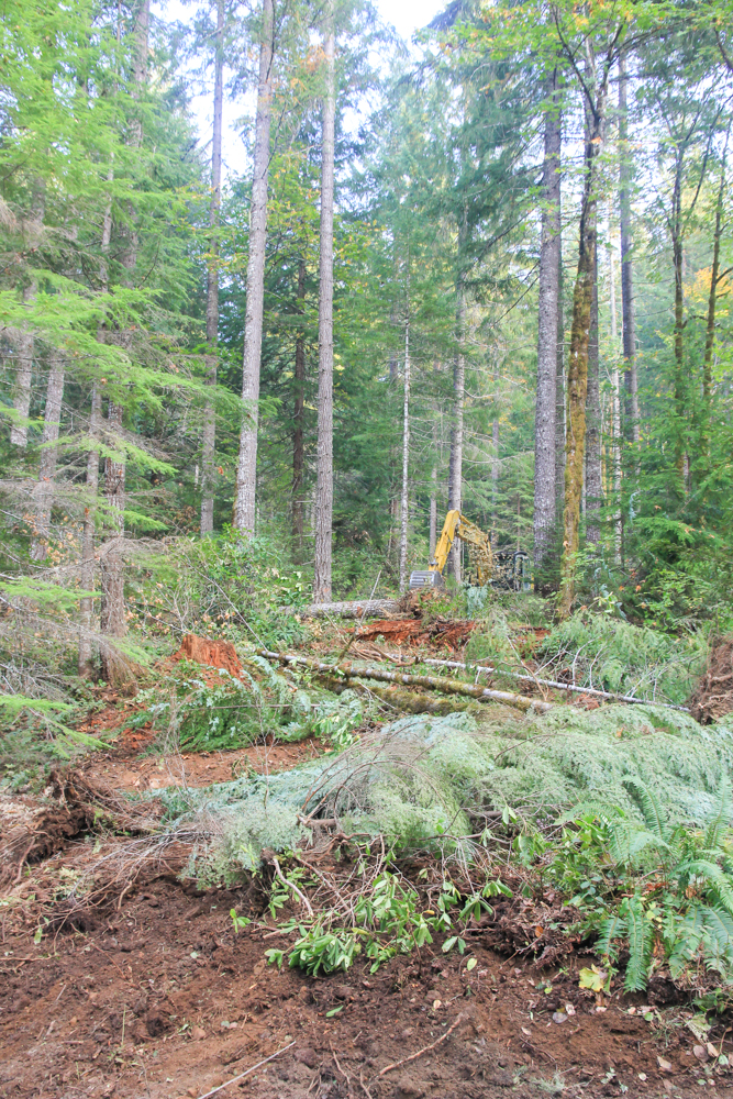
Fire dozer line in Watershed 2. Disturbance to soil and vegetation is much more significant along dozer line than handline, but it also makes a more effective fire break.
Fire dozer line in Watershed 2. Root wad and upturned soil in foreground on right from tree pushed over by dozer
Fire dozer line in Watershed 2. This particularly steep section would be vulnerable to serious erosion without subsequent waterbarring and repair work.
Fire dozer line in Watershed 2. Large snag in left foreground was cut for safety.
Fire dozer line in Watershed 2. This was an accidental beginning of the dozer line at junction with 465 road. Operator likely mistook this for the main side ridge. After opening ca. 60 feet the dozer backtracked and began the actual fire line running down side ridge to road 455.
Fire dozer line in Watershed 2, where it meets the 465 Road
Fire hand line in the upper area of Watershed 2 follows the upper watershed 2 trail for ca. 1/4 mile. Then handline cuts upslope to connect with a dozer line off of road 2633.
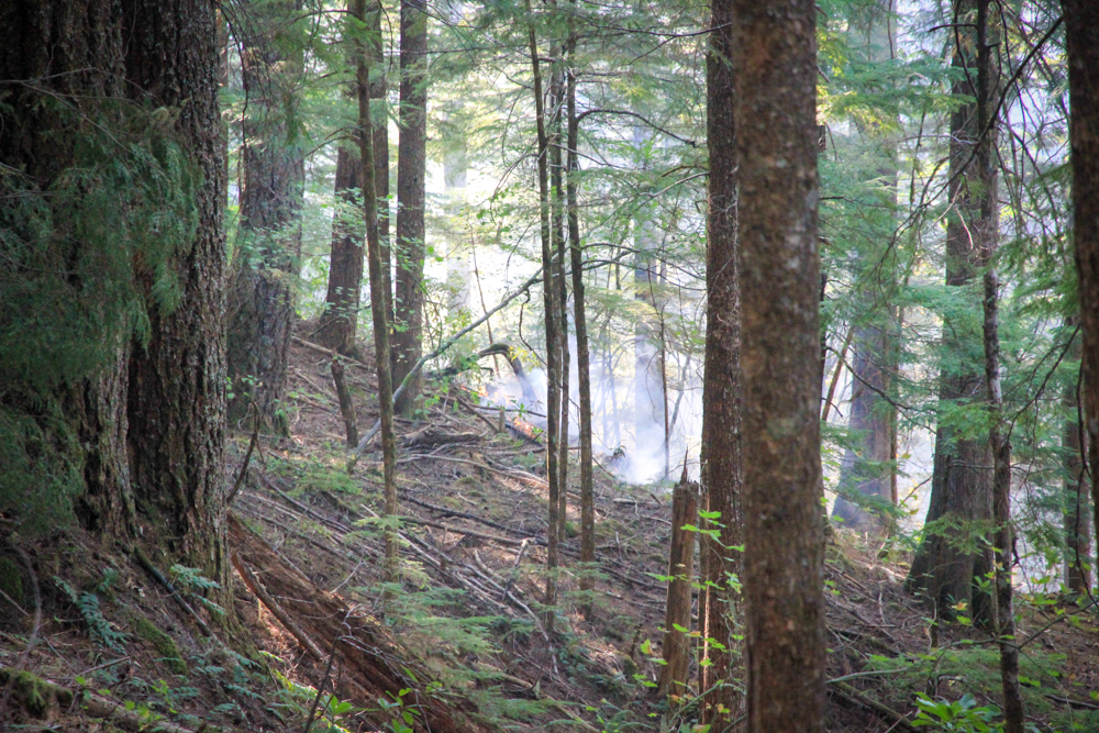
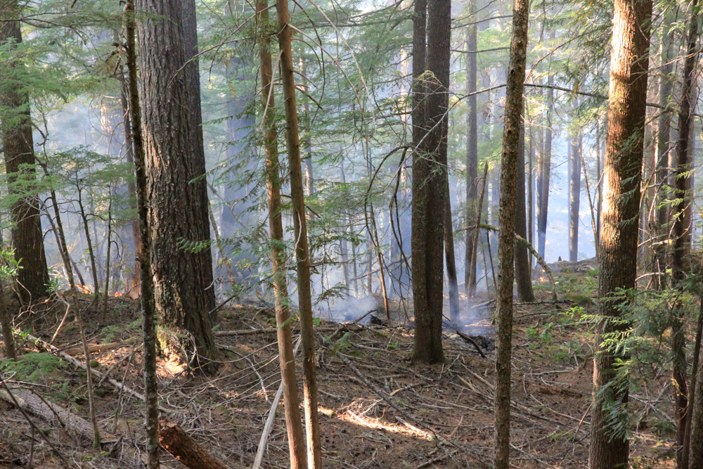
Active fire in the upper portion of WS2 just below upper trail, low severity ground fire. A few hours after photo taken the fire reached the trail, but was held in check by crews using fire hose supplied by frequent trips from tender trucks.
Returning downslope along dozer line from road 465 along ridge bounding WS2 and WS3. USFS Resource Advisors.
Fire hand line and hose on a slope of WS2. USFS Resource Advisors.
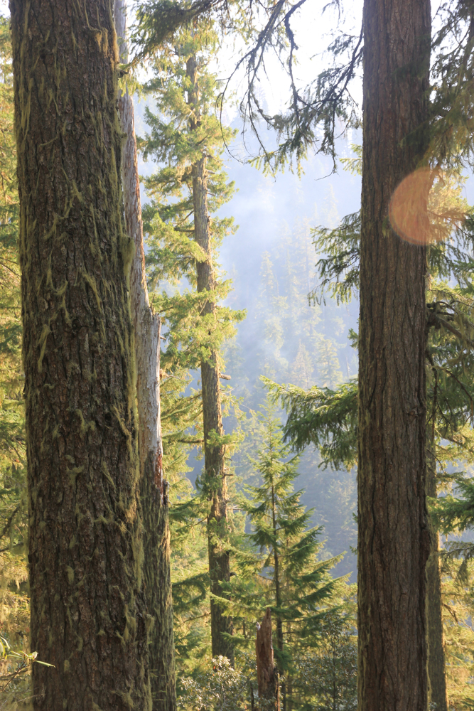
Smoke from hotspot in WS2 above gaging, taken from handline
Fire hand line and hose on a slope of WS2. USFS Resource Advisors.
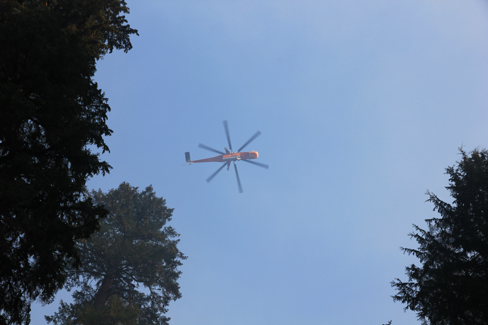
Air Crane used for water drops over hot spots in Watershed 2
Air Crane used for water drops over hot spots in Watershed 2
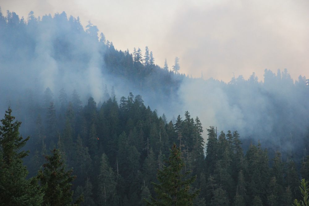
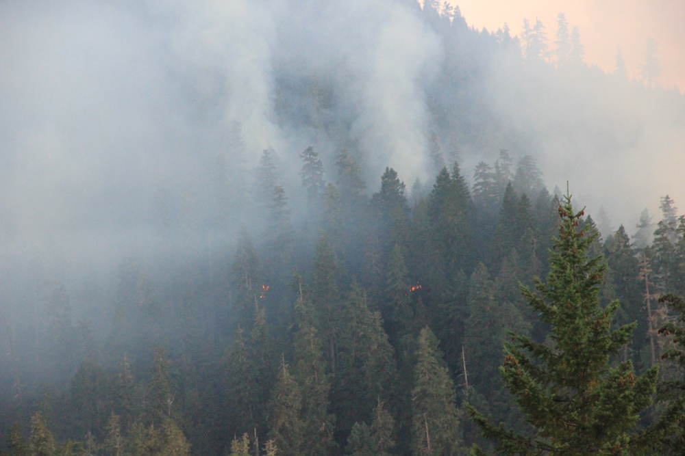
smoke on the landscape, from fire in Watershed 2. Taken from 130 road radio tower
smoke on the landscape, from fire in Watershed 2
smoke on the landscape, from fire in Watershed 2
Air Crane drops water over hot spots in Watershed 2. Taken from top of USGS Debris Flume.
Night time image of hot spot of fire in Watershed 2
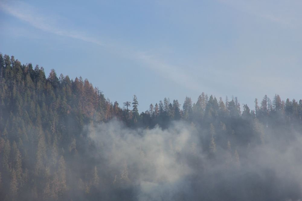
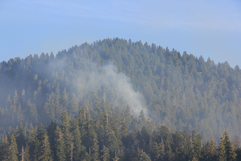
Smoke and evidence of browned tree crowns on the slope of Watershed 2
Smoke and evidence of browned tree crowns on the slope of Watershed 2
Smoke and evidence of browned tree crowns on the slope of Watershed 2
Repair work with heavy equipment on dozer line on 1507 road


