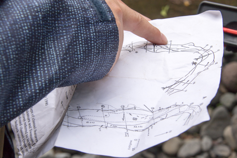
a map, created in 1990 by Nakamura and Swanson, of the stream channel in lower Lookout Creek. The map, depicting the channel morphology and the location of sample cross sections, is used as a reference for the 2019 survey of the stream cross section locations.
Image:
Photographed by:
Lina DiGregorio
Date:
7/17/2019
Photo ID:
aet_007
Gallery:
Hydrology Field Work 2019