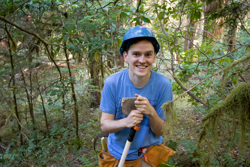
Liam Engel locates trees that will then be mapped with the laser survey tool (total station)
Image:
Photographed by:
Lina DiGregorio
Date:
7/23/2019
Photo ID:
aer_024
Gallery:
Forests of Oregon Elevation Gradient (FOREG) 2019