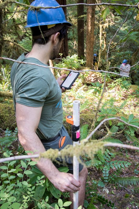
Matt Reala holds a PVC pipe with reflective target and rod level, used as the target for the laser survey tool (total station) in mapping stem distance and location
Image:
Photographed by:
Lina DiGregorio
Date:
7/23/2019
Photo ID:
aer_019
Gallery:
Forests of Oregon Elevation Gradient (FOREG) 2019