
aer_053.jpg
Image
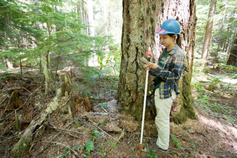
Photo Caption
Emily Dewald-Wang holds a PVC pipe which is the target for the laser survey tool (total station). She calls out the species, size, and condition. The data are recorded into a tablet and then the tree's location is mapped with the total station laser.
Photographed date
Photographed by
Lina DiGregorio
Photo ID
aer_053
Photo Title
Forests of Oregon Elevation Gradient (FOREG) 2019