
aed_081.jpg
Image
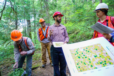
Photo Caption
David Bell (center), Research Forester, Pacific Northwest Research Station, USFS, shares a LIDAR image of canopy height in the day's field plot
Photographed date
Photographed by
Ian Vorster
Photo ID
aed_081
Photo Title
Pacific Northwest Permanent Sample Plot Program, Field work 2018