
aer_019.jpg
Image
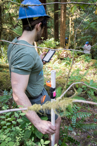
Photo Caption
Matt Reala holds a PVC pipe with reflective target and rod level, used as the target for the laser survey tool (total station) in mapping stem distance and location
Photographed date
Photographed by
Lina DiGregorio
Photo ID
aer_019
Photo Title
Forests of Oregon Elevation Gradient (FOREG) 2019