
aer_017.jpg
Image
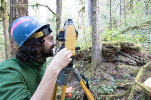
Photo Caption
Joseph LaManna uses a laser survey tool (total station) to precisely map exact locations of stems within a plot
Photographed date
Photographed by
Lina DiGregorio
Photo ID
aer_017
Photo Title
Forests of Oregon Elevation Gradient (FOREG) 2019