
aer_059.jpg
Image
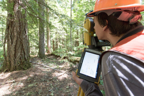
Photo Caption
Adam Milenkowic uses the laser survey tool (total station) to measure exact location of each stem within the plot. Data, called out from a person moving from tree to tree, is recorded in the tablet.
Photographed date
Photographed by
Lina DiGregorio
Photo ID
aer_059
Photo Title
Forests of Oregon Elevation Gradient (FOREG) 2019