
aer_058.jpg
Image
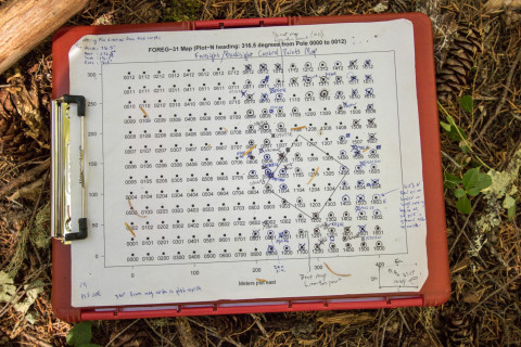
Photo Caption
A map of a 12-ha section of FOREG-31 (the megaplot, with a footprint of 25 ha), showing the reference poles from which the total station maps trees and stems. The diagonal-square on the right side of the map is historic Reference Stand 31.
Photographed date
Photographed by
Lina DiGregorio
Photo ID
aer_058
Photo Title
Forests of Oregon Elevation Gradient (FOREG) 2019