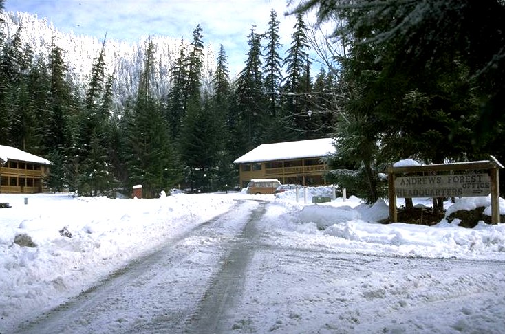
A large snow storm deposited heavy amounts of snow on the Andrews Forest during the last half of Jan. 96. There was about 12 inches of fresh snow at the Andrews Headquarters site before the Feb. storm.
Photographed by Al Levno ..... Date: 1/16/96 ..... Photo: AAD-001
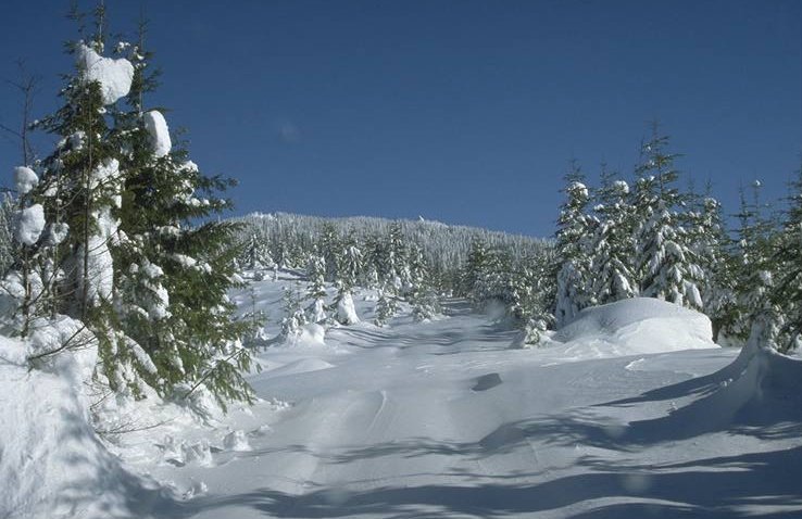
Top of WS #6 in the Andrews, 4 ft. of new snow was deposited at this elevation (3,300 ft.) in January before the Feb. 5-9, 1996 flood.
Photographed by Al Levno ..... Date: 1/16/96 ..... Photo: AAD-003
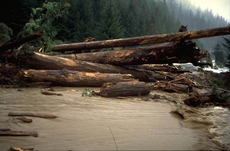
This slide occurred in one of the small stream channels above the Blue River Reservior Road between 7:45 and 8:00 on the morning of Feb. 7th and blocked all access to the Andrews Forest for several hours. A large debris avalanche deposited a mass of logs, mud, and debris above and onto Road 15, with a small amount of debris going over the road surface and into the reservoir. Photo taken at 8:30 am.
Photographed by Al Levno ..... Date: 2/07/96 ..... Photo: AAD-005
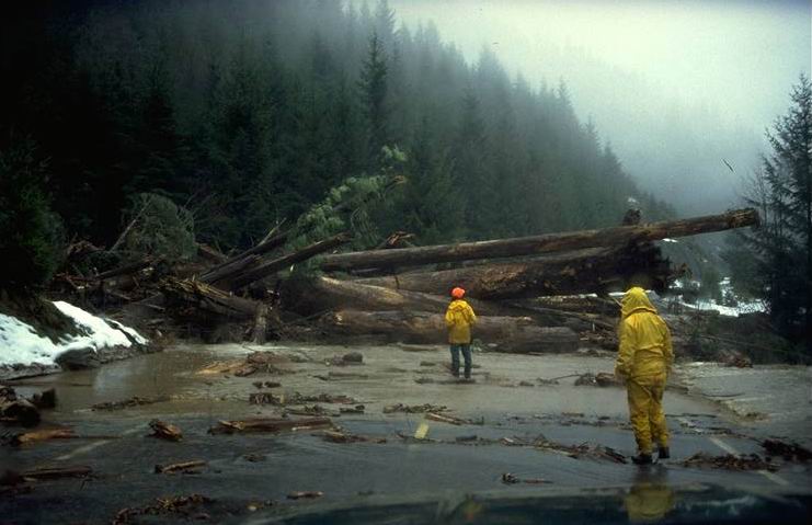
The Blue River Res. Slide occurred at around 8 AM on Feb. 7th. We arrived on the scene at 8:30. Beverely Wimple and Sharyl Kammerzell wade out toward the slide to take a closer look. Photo taken at 8:30 am.
Photographed by Al Levno ..... Date: 2/07/96 ..... Photo: AAD-006
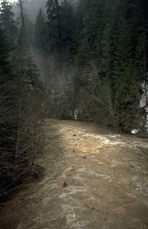
Blue River from Tidbits Bridge shortly before peak flow. Taken from Tidbits Bridge looking downstream toward Tidbits Creek. Photo taken at 12:00 pm.
Photographed by Al Levno ..... Date: 2/07/96 ..... Photo: AAD-014
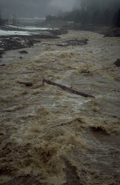
Large tree stem 3 ft. x 100 ft. moving down stream Blue River through huge hydraulic jump just below the Mona Cr. Bridge, near peak flow 2/7/96 @ 1200. Photo taken at 12:00 pm.
Photographed by Al Levno ..... Date: 2/07/96 ..... Photo: AAD-018

Blue River near the junction of Lookout Cr. on rising stage. Large logs are beginning to move. Photo taken at 8:00 am.
Photographed by Al Levno ..... Date: 2/07/96 ..... Photo: AAD-021
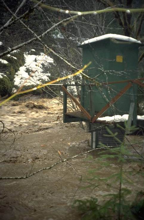
Peak flow at the Lookout Creek Gaging station was 10.00 ft. (near 10,000 cfs). Photo taken at 11:30 am.
Photographed by Al Levno ..... Date: 2/07/96 ..... Photo: AAD-025
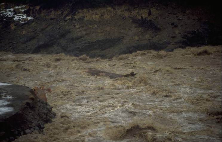
Large (3 ft x 100 ft) conifer tree trunk being carried downstream and out of the Lookout Creek Watershed during the rising leg of the Feb. 96 flood. Photo taken from the lower Lookout Creek Concrete Bridge at about 8:00 am. Estimated 7,000 CFS from a 15,000 acre watershed.
Photographed by Al Levno ..... Date: 2/07/96 ..... Photo: AAD-032

Debris flow from WS 3 occurred between 1600 and 2200 on the evening of the Feb. 6th. The flow covered the trapezodial flume and completly, demolished the gage house and carried it away. It is not known if the sediment basin was lost or just covered up. This was the 2nd major debris avalanche since the gaging of this watershed. This slide deposited about 5,000 cu. ft. of material behind the road at the bottom of the watershed. Photo taken at 9:00 am.
Photographed by Al Levno ..... Date: 2/07/96 ..... Photo: AAD-042
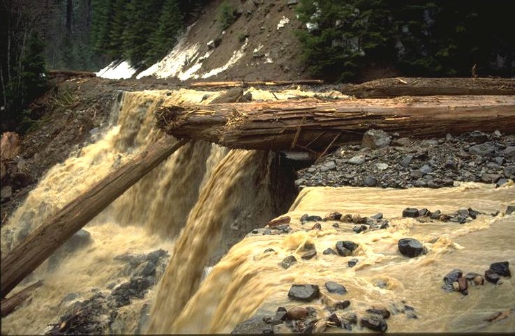
Peak flows in excess of 60 cfs from this 250 acre watershed were flowing over the paved road prism causing undercutting as they fell onto the plugged culvert 30 ft below. Photo taken at 9:00 am.
Photographed by Al Levno ..... Date: 2/07/96 ..... Photo: AAD-044

WS #3 debris flow causes water to pour over the road surface into Lookout Creek. Backhoe pushing cut logs over edge of road to clear snow cat trail. Photo taken at 10:00 am.
Photographed by Al Levno ..... Date: 2/08/96 ..... Photo: AAD-058