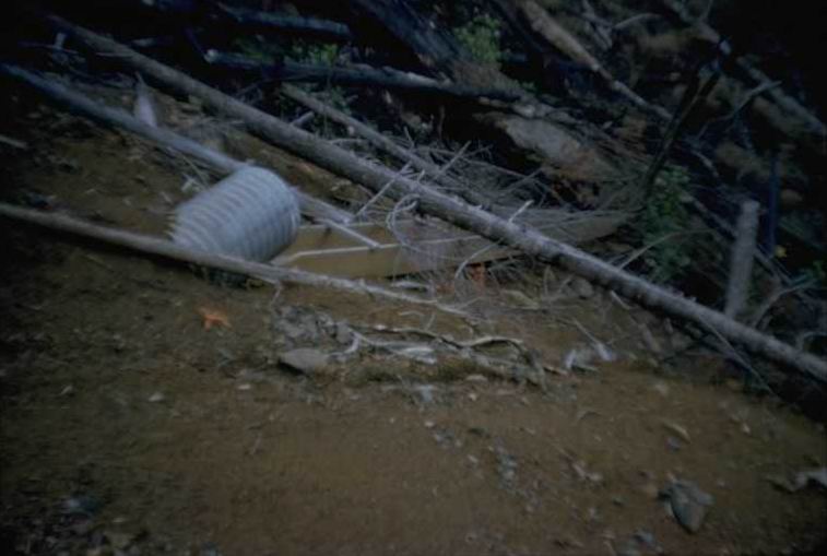
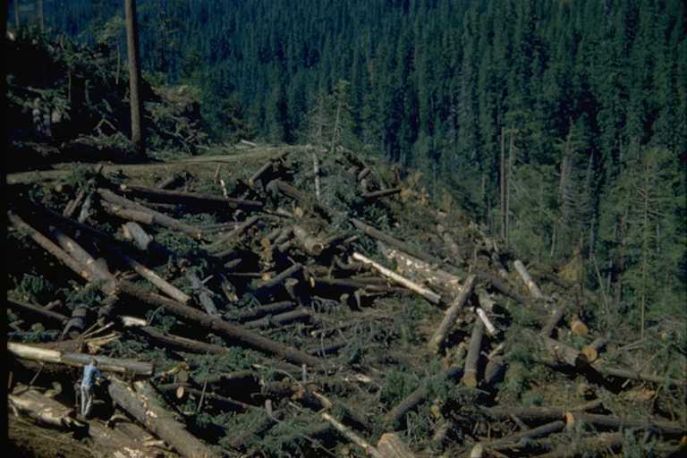
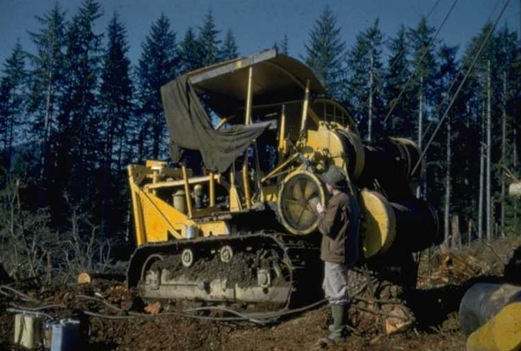
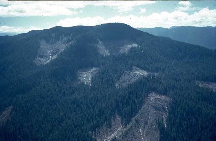
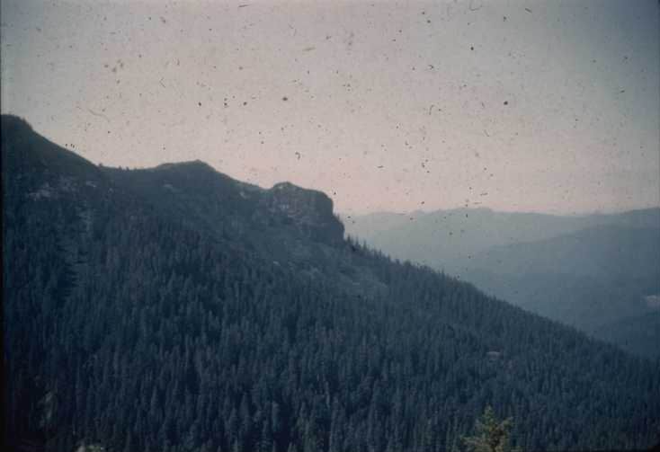
Photographed by RCK-5 ..... Date: 1954 ..... Photo: AAJ-001

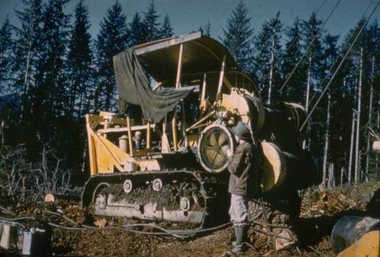
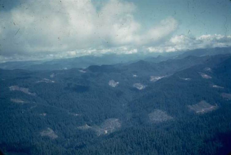
Photographed by RCK-2 ..... Date: 1954 ..... Photo: AAJ-002

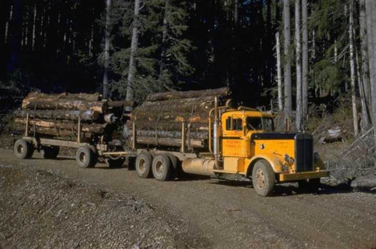
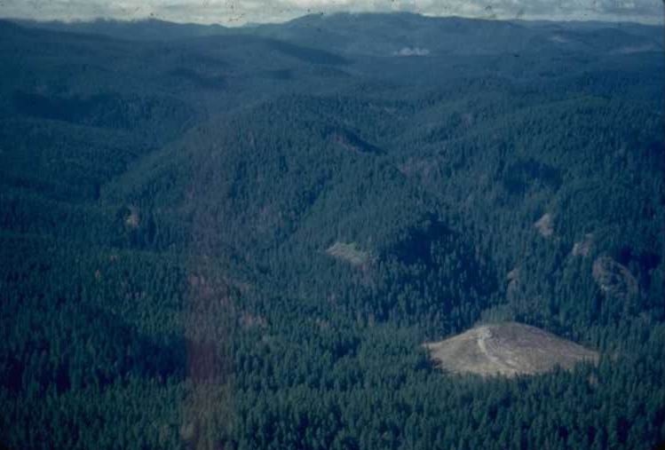
Photographed by Unknown ..... Date: 1948 ..... Photo: AAJ-003
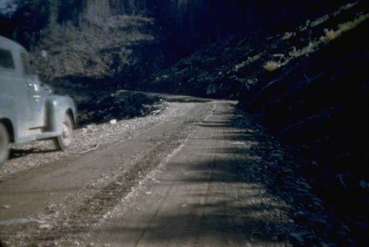
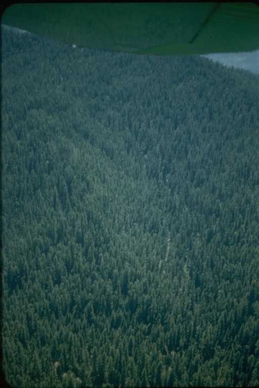
Photographed by Unknown ..... Date: 01/1956 ..... Photo: AAJ-004
Photographed by RCK-4 ..... Date: 1954 ..... Photo: AAJ-005
Photographed by RR-2 ..... Date: 06/1956 ..... Photo: AAJ-006

Photographed by RR-1 ..... Date: 06/1956 ..... Photo: AAJ-007
Photographed by RR-30 ..... Date: 06/1956 ..... Photo: AAJ-008
Photographed by Unknown ..... Date: 08/23/57 ..... Photo: AAJ-009
Photographed by Unknown ..... Date: 7/1957 ..... Photo: AAJ-010

Photographed by JR-46 ..... Date: 8/1957 ..... Photo: AAJ-011
Photographed by JR-48 ..... Date: Spr 1957 ..... Photo: AAJ-012

Photographed by JR-45 ..... Date: Sum 1957 ..... Photo: AAJ-013
Photographed by JR-44 ..... Date: 8/1957 ..... Photo: AAJ-014
Photographed by Unknown ..... Date: 1952 ..... Photo: AAJ-015
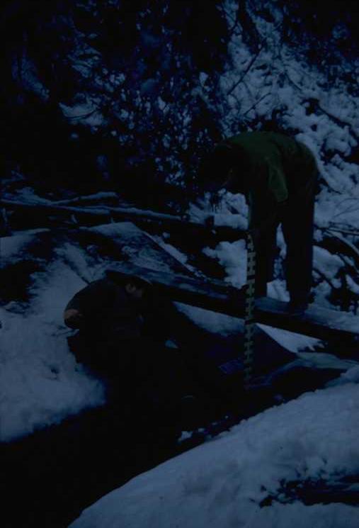
Photographed by ED-12 ..... Date: 5/25/56 ..... Photo: AAJ-016
Photographed by ED-13 ..... Date: 5/1/56 ..... Photo: AAJ-017
Photographed by Unknown ..... Date: 11/54 ..... Photo: AAJ-018
Photographed by DR-2 ..... Date: 11/54 ..... Photo: AAJ-019
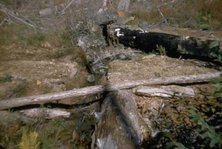
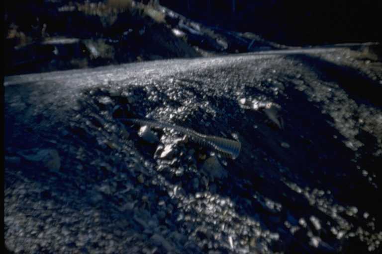
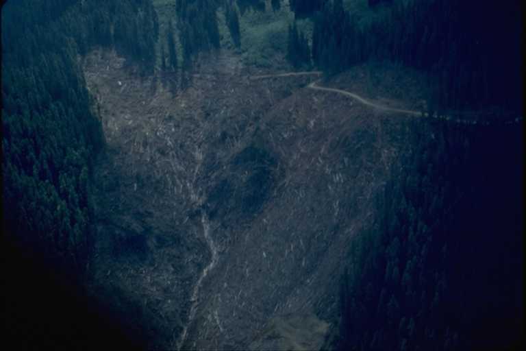
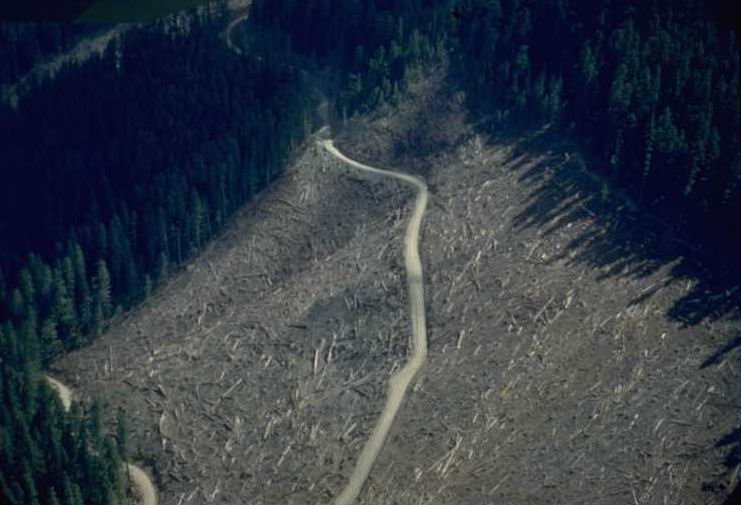
Logged 1953, cull log stream crossing. Lower Unit 1B [L102]. After logging complete, log pulled out.
Photographed by Unknown ..... Date: 1954 ..... Photo: AAJ-020
Photographed by UY-18 ..... Date: 8/29/57 ..... Photo: AAJ-021
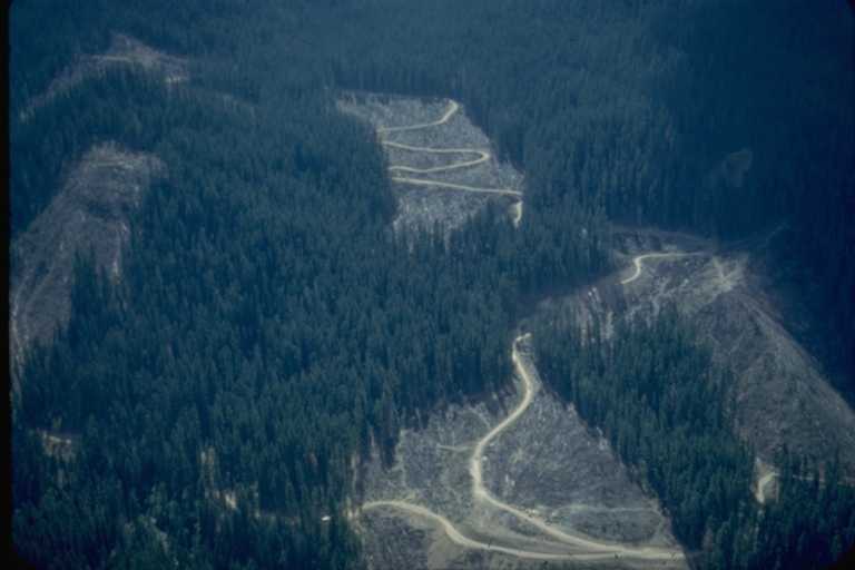
to: (Left to Right): 1-I [L206], 1-H [L205], 1-F [L202], 1-E [L231] (upper), and 2-B [L105], 2-A [L104] (lower).
Photographed by ED-26 ..... Date: 6/1956 ..... Photo: AAJ-022
Photographed by ED-19 ..... Date: 10/17/55 ..... Photo: AAJ-023
Photographed by Unknown ..... Date: 8/28/57 ..... Photo: AAJ-024
across ridge into McRae Cr. Drainage. Carpenter Mtn. on right.
Photographed by ED-20 ..... Date: 5/1956 ..... Photo: AAJ-025
Photographed by RR-108 ..... Date: 1952 ..... Photo: AAJ-026
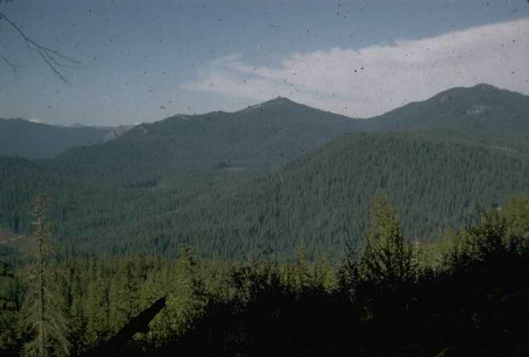
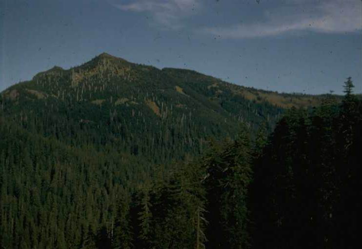
with Carpenter Mountain and Lookout in Background.
Photographed by Unknown ..... Date: 8/28/57 ..... Photo: AAJ-027
Photographed by Unknown ..... Date: 8/28/57 ..... Photo: AAJ-028
Photographed by Unknown ..... Date: 8/28/57 ..... Photo: AAJ-029
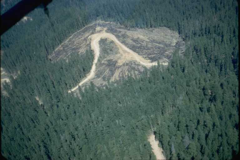
Upper Lookout Cr. units 5-B [L341] & 5-C [L302].
Photographed by Unknown ..... Date: 8/29/57 ..... Photo: AAJ-030

between Lookout Cr & McRae Cr. from 1-F [L202].
Photographed by Unknown ..... Date: 8/28/57 ..... Photo: AAJ-031
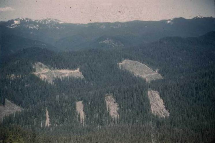
from 1-I [L206] to 3 sales, 3-C [L402], 3-D, 3-E & S-1, S-2
Photographed by Unknown ..... Date: 5/56 ..... Photo: AAJ-032
Photographed by Unknown ..... Date: 8/29/57 ..... Photo: AAJ-033
Photographed by RR-120 ..... Date: 1956 ..... Photo: AAJ-034

Photographed by ED-24 ..... Date: 10/17/55 ..... Photo: AAJ-035
Photographed by ED-18 ..... Date: 10/17/55 ..... Photo: AAJ-036

Photographed by ED-17 ..... Date: 11/2/55 ..... Photo: AAJ-037
Photographed by RR-28 ..... Date: 1955 ..... Photo: AAJ-038
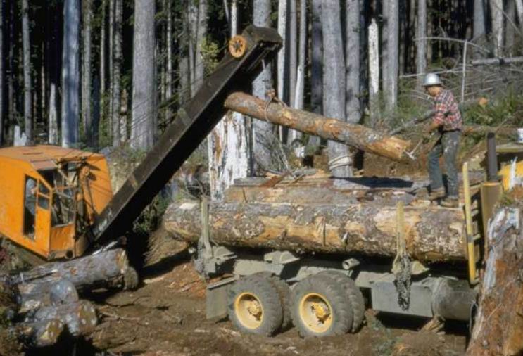
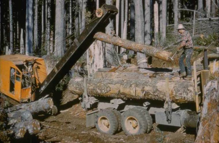
Photographed by Unknown ..... Date: 7/1957 ..... Photo: AAJ-039
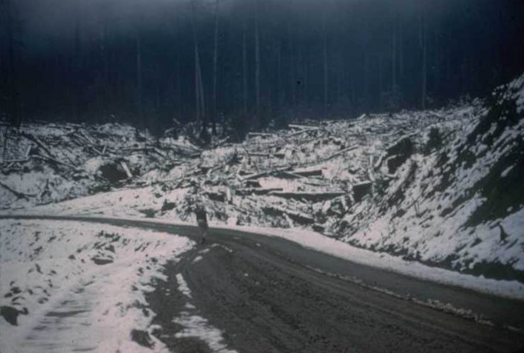
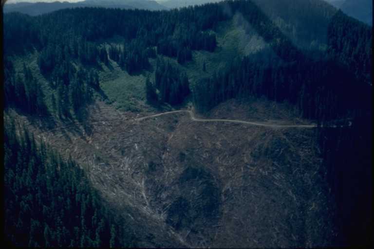
which Savelich logged down with a cat road.
Photographed by RCK-6 ..... Date: 1954 ..... Photo: AAJ-040
Photographed by Unknown ..... Date: 1957 ..... Photo: AAJ-041
Photographed by RR-75 ..... Date: 10/23/53 ..... Photo: AAJ-042
Photographed by CB-47 ..... Date: 2/55 ..... Photo: AAJ-043
Photographed by RK-18 ..... Date: 1954 ..... Photo: AAJ-044

Photographed by RR-27 ..... Date: 1955 ..... Photo: AAJ-045
Photographed by Unknown ..... Date: 10/23/53 ..... Photo: AAJ-046
Photographed by CB-24 ..... Date: 9/10/53 ..... Photo: AAJ-047
Photographed by Unknown ..... Date: 1952 ..... Photo: AAJ-048

Photographed by RR-202 ..... Date: 6/25/58 ..... Photo: AAJ-049

Photographed by RR-112 ..... Date: 1952 ..... Photo: AAJ-050
Photographed by CB-24 ..... Date: 9/10/53 ..... Photo: AAJ-051

Photographed by Unknown ..... Date: 8/29/57 ..... Photo: AAJ-052

Photographed by Unknown ..... Date: Unknown..... Photo: AAJ-053
Photographed by Unknown ..... Date: 1952 ..... Photo: AAJ-054
Photographed by Unknown ..... Date: 1955 ..... Photo: AAJ-055
Photographed by Unknown ..... Date: 1955 ..... Photo: AAJ-056
Photographed by RK-14 ..... Date: 1955 ..... Photo: AAJ-057
Photographed by Unknown ..... Date: Unknown..... Photo: AAJ-058
Photographed by ED-8 ..... Date: 11/2/55 ..... Photo: AAJ-059
Looking to: (L to R, Upper) 3-D [L501], 3-E [L403], 3-F [L404] (Lower): S-1, S-2, S-3, S-4
Photographed by ED-27 ..... Date: 5/56 ..... Photo: AAJ-060
Creek in Unit 2-A savelich cat-logged down creek.
Photographed by RCK-7 ..... Date: 1954 ..... Photo: AAJ-061
Photographed by Unknown ..... Date: 7/57 ..... Photo: AAJ-062

Photographed by Unknown ..... Date: 8/57 ..... Photo: AAJ-063
Photographed by Unknown ..... Date: 7/22/53 ..... Photo: AAJ-064
Photographed by Unknown ..... Date: 7/57 ..... Photo: AAJ-065
Carpenter Mt. Lookout in far left. peak 5-A [L301] & 5-B [L341] in back
Photographed by Unknown ..... Date: 5/56 ..... Photo: AAJ-066
Photographed by Unknown ..... Date: 1952 ..... Photo: AAJ-067

Left to Right: 2-C [L106], 2B [L105], 2A [L104]
Photographed by Unknown ..... Date: 1952 ..... Photo: AAJ-068
Photographed by RR-109 ..... Date: 1952 ..... Photo: AAJ-069
Photographed by Unknown ..... Date: 1952 ..... Photo: AAJ-070

Photographed by RR-198 ..... Date: 6/25/58 ..... Photo: AAJ-071

Photographed by RR-197 ..... Date: 6/25/58 ..... Photo: AAJ-072
Photographed by RR-195 ..... Date: 6/25/58 ..... Photo: AAJ-073
Photographed by RR-199 ..... Date: 6/25/58 ..... Photo: AAJ-074
Photographed by RR-212 ..... Date: 6/25/58 ..... Photo: AAJ-075
Photographed by RR-194 ..... Date: 6/25/58 ..... Photo: AAJ-076
Photographed by RR-205 ..... Date: 6/25/58 ..... Photo: AAJ-077

Photographed by Unknown ..... Date: 6/25/58 ..... Photo: AAJ-078
Photographed by Unknown ..... Date: 1952 ..... Photo: AAJ-079
Photographed by Unknown ..... Date: 1952 ..... Photo: AAJ-080
Photographed by Unknown ..... Date: Unknown..... Photo: AAJ-081
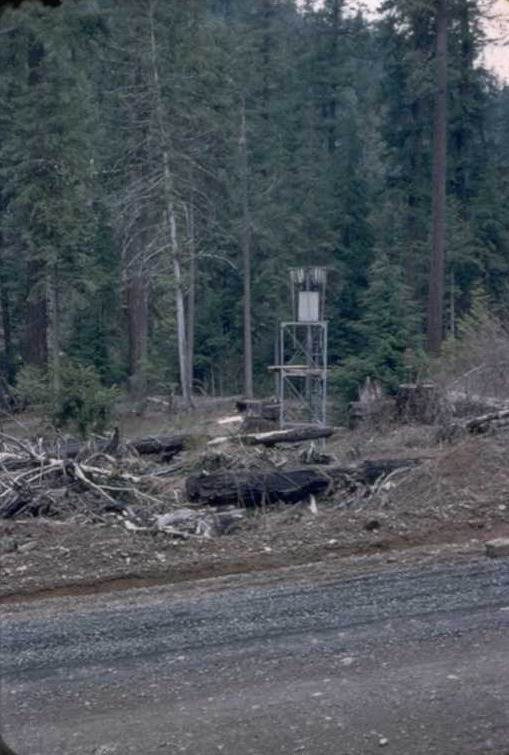
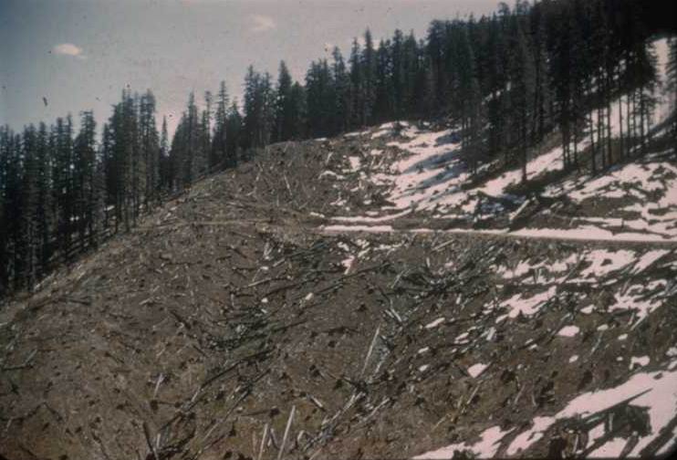
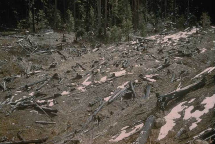
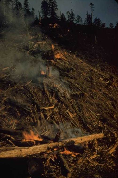
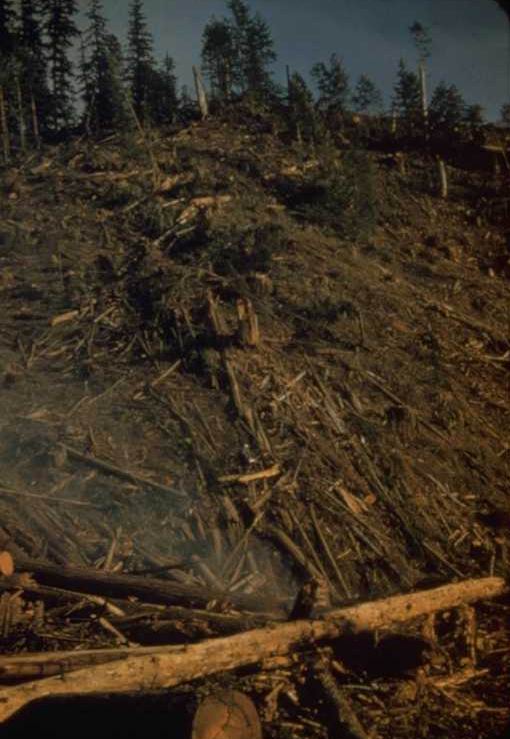
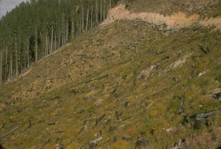
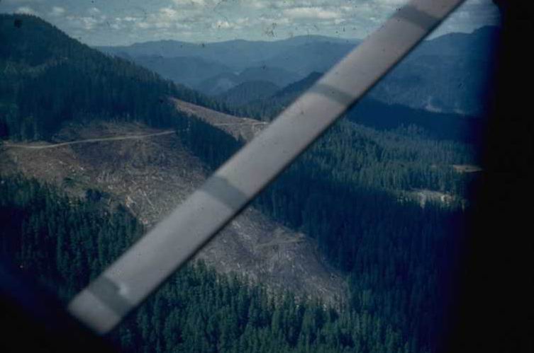
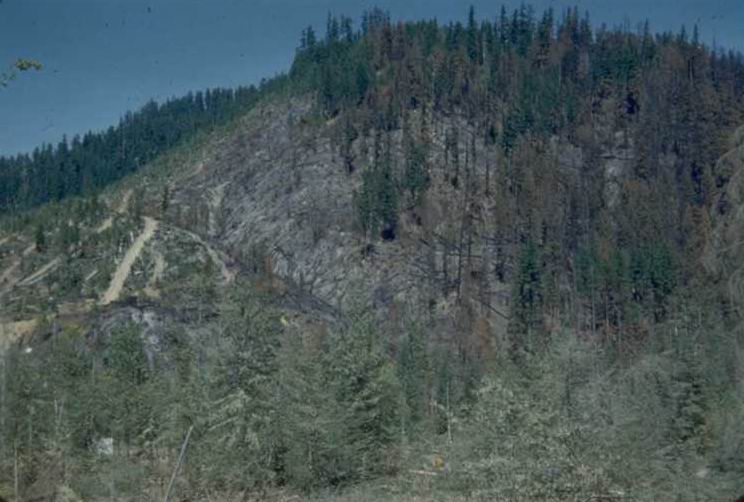
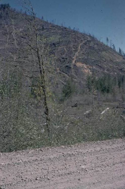
Slash fire on 1-C covered 55% of area.
Photographed by RR-115 ..... Date: 1952 ..... Photo: AAJ-082
From frizzel trail.
Photographed by ED-10 ..... Date: 4-8-55 ..... Photo: AAJ-083

Photographed by Unknown ..... Date: 1952 ..... Photo: AAJ-084
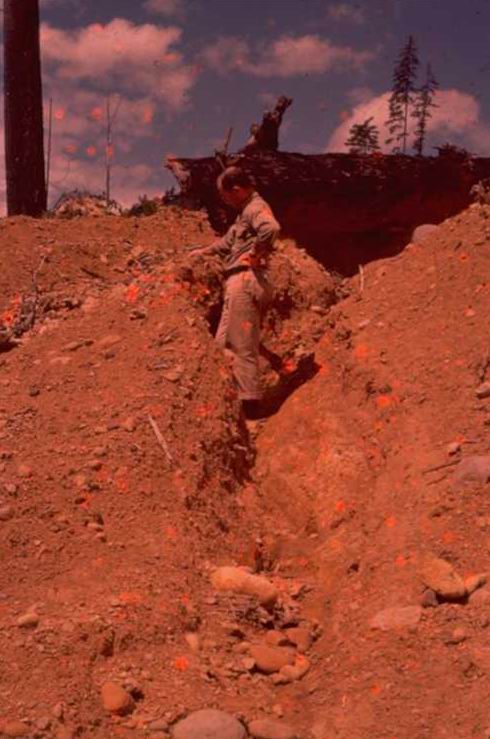
logged by skyline from a landing below center of picture
Photographed by Unknown ..... Date: 1952 ..... Photo: AAJ-085
Photographed by Unknown ..... Date: 1952 ..... Photo: AAJ-086
Tag alder patches above.
Photographed by RR-22? ..... Date: 1952 ..... Photo: AAJ-087
Photographed by RR-117 ..... Date: 1952 ..... Photo: AAJ-088
Photographed by RR-25 ..... Date: 1952 ..... Photo: AAJ-089
Photographed by RHR ..... Date: 6/25/58 ..... Photo: AAJ-090
Photographed by RR-217 ..... Date: 6/25/58 ..... Photo: AAJ-091
Photographed by JR-41 ..... Date: Spr. 57 ..... Photo: AAJ-092
Photographed by ED-1 ..... Date: 8/55 ..... Photo: AAJ-093
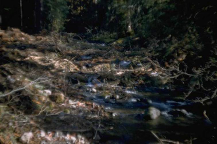
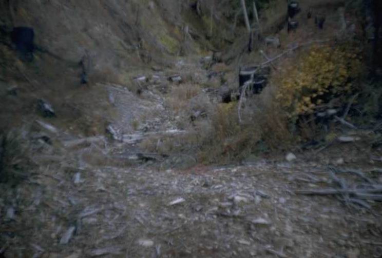
in unit 5-A [L301]. Creek cleaned out after logging.
Photographed by RCK-3 ..... Date: 1954 ..... Photo: AAJ-094

Photographed by JR-42 ..... Date: 7/57 ..... Photo: AAJ-095
Photographed by JR-43 ..... Date: 7/57 ..... Photo: AAJ-096
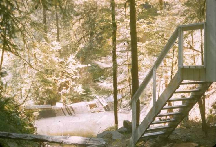
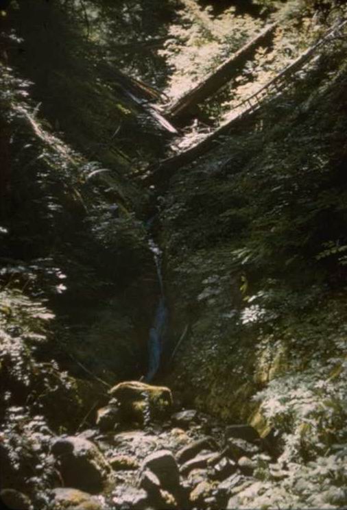
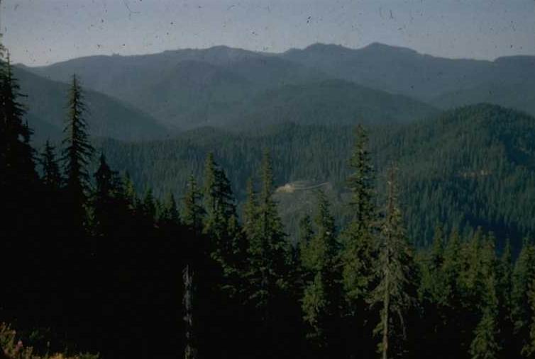
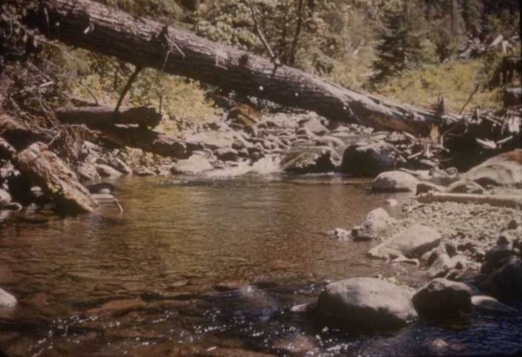
Lookout Creek
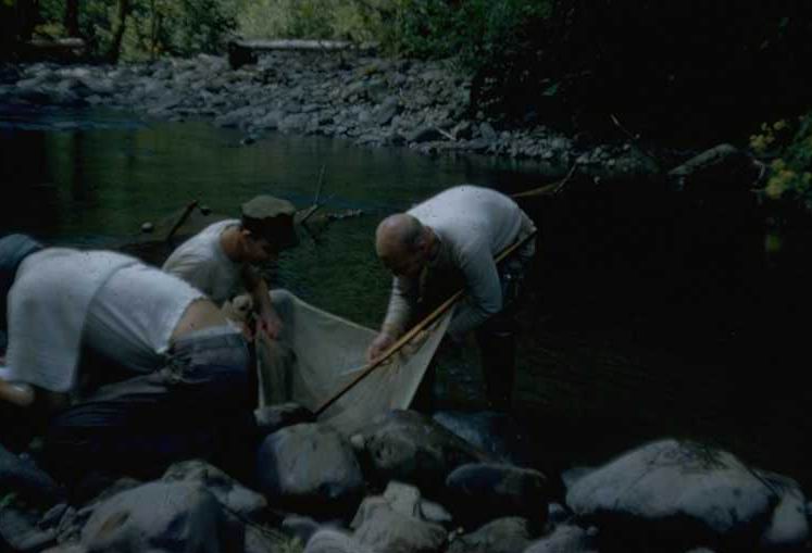
Photographed by Unknown ..... Date: 1954 ..... Photo: AAJ-097

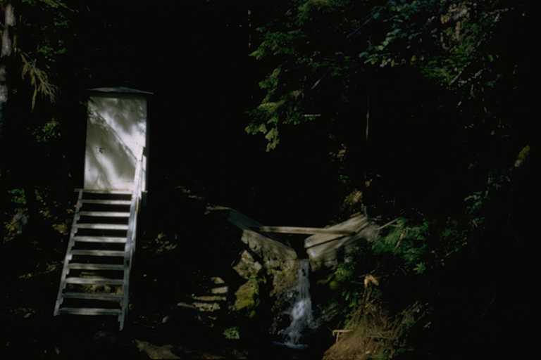
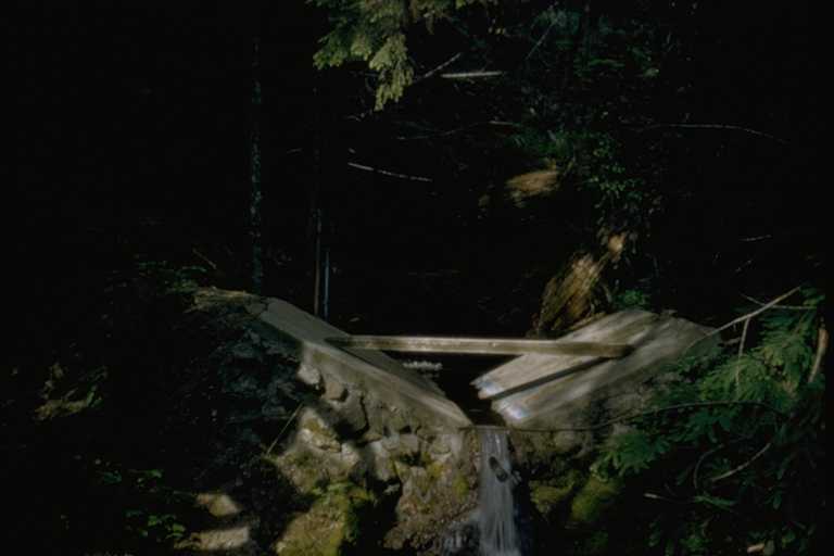
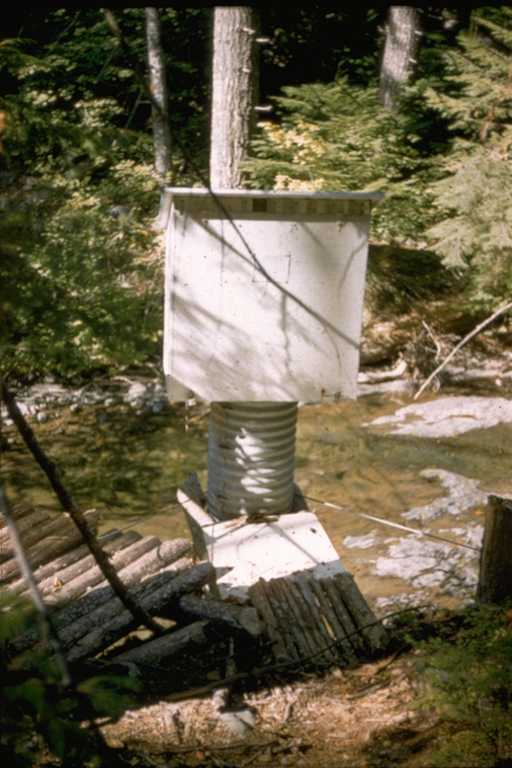
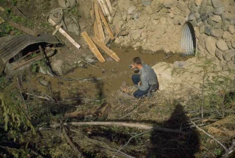
Population seining on hole below concrete bridge in Lookout Creek.
Photographed by RK-13 ..... Date: 1954 ..... Photo: AAJ-098

Photographed by ED-6 ..... Date: 8/55 ..... Photo: AAJ-099

in Unit 5-A [L301]
Photographed by RCK-1 ..... Date: 1954 ..... Photo: AAJ-100