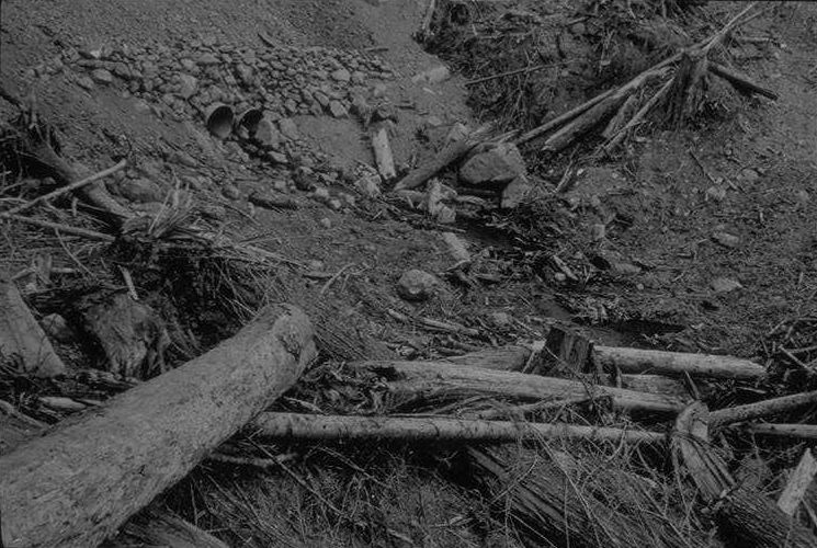
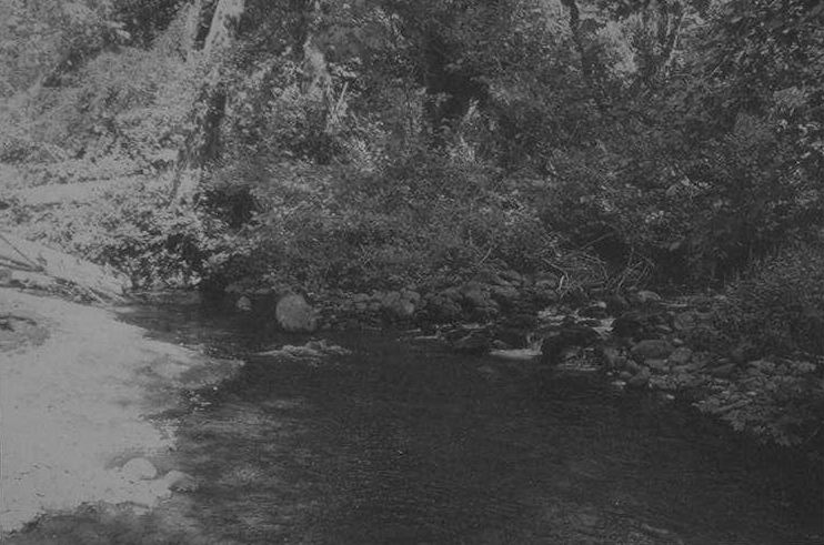
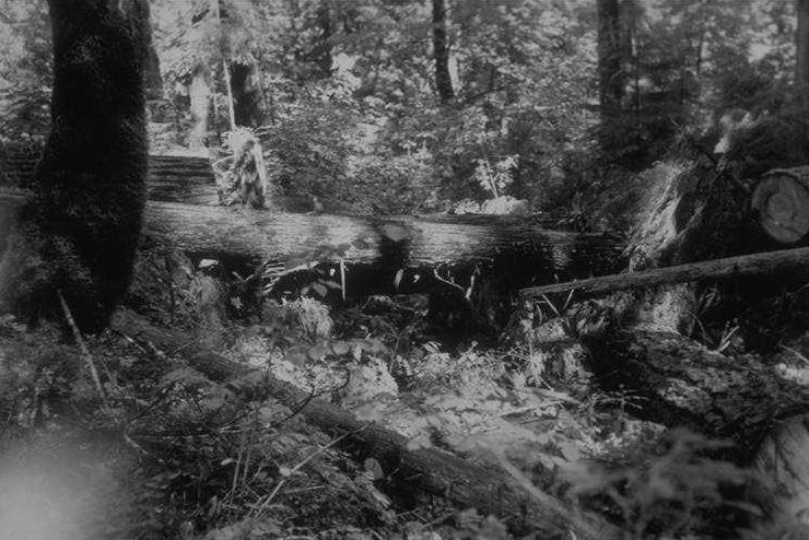
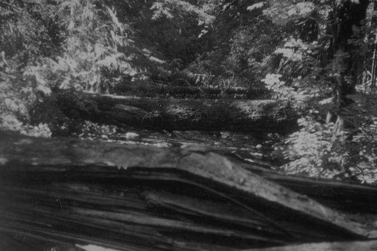
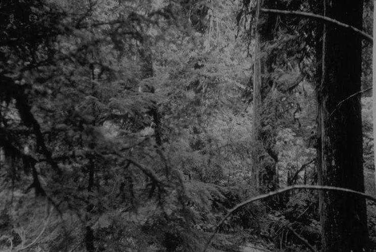
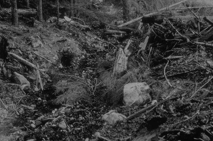
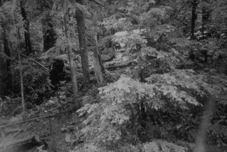
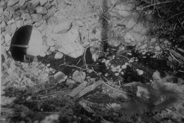
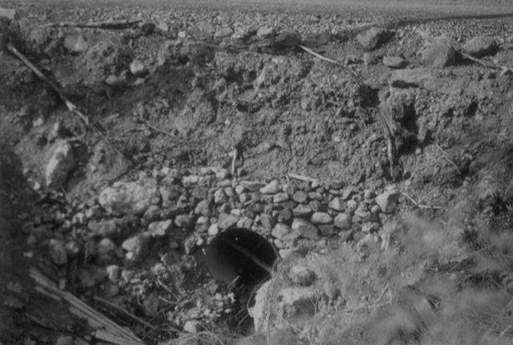
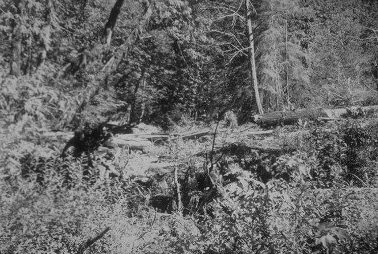
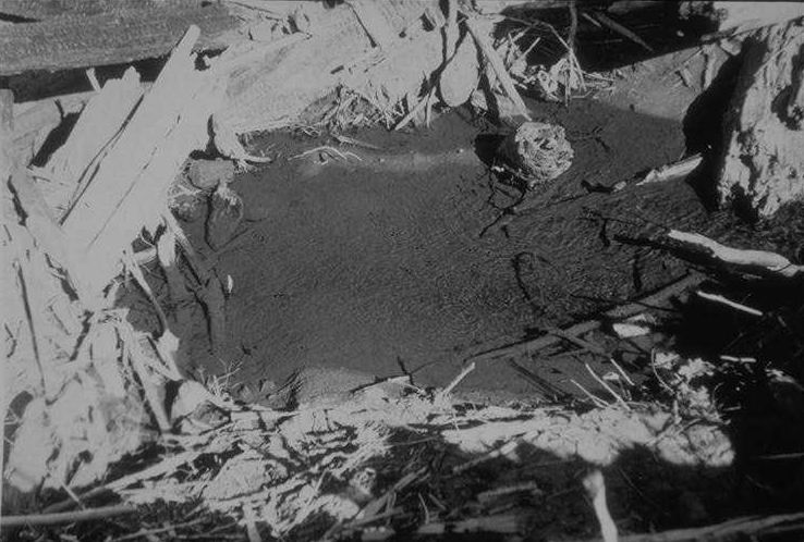
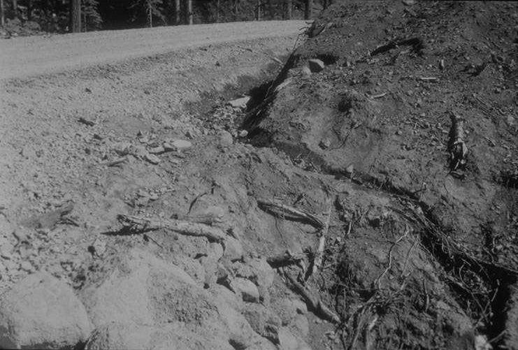
Kokak Bantam; Super XX; F8; 1/25 sec.; cloudy dull; 3:30 pm Taken from landing on east end of culvert upstream showing downstream end of culvert.
Photographed by Don Wustenberg ..... Date: 9/16/51 ..... Photo: AAH-001

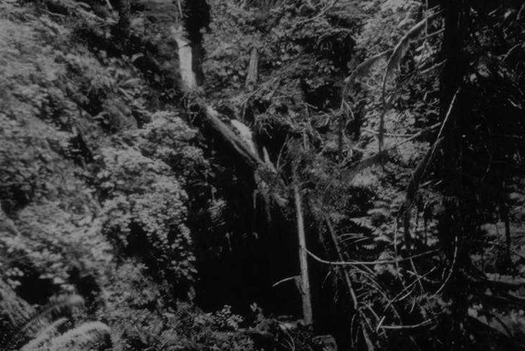
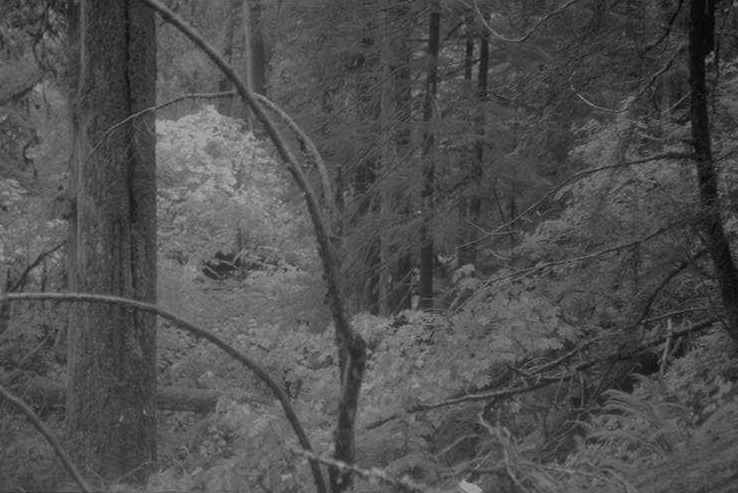
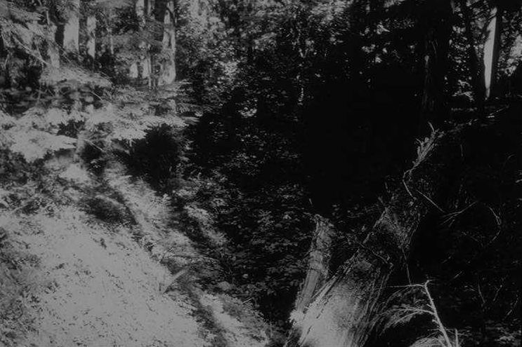
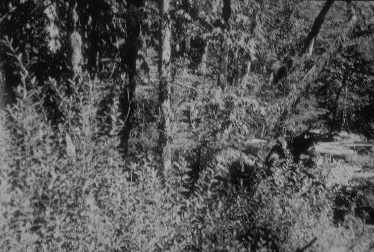
Kodak Bantam; Super XX; F8; 1/25; cloudy dull; 3:30 pm Taken from landing on east side of culvert, angle down ravine.
Photographed by Don Wustenberg ..... Date: 9/16/51 ..... Photo: AAH-002

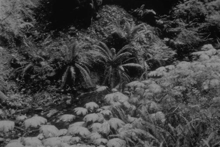
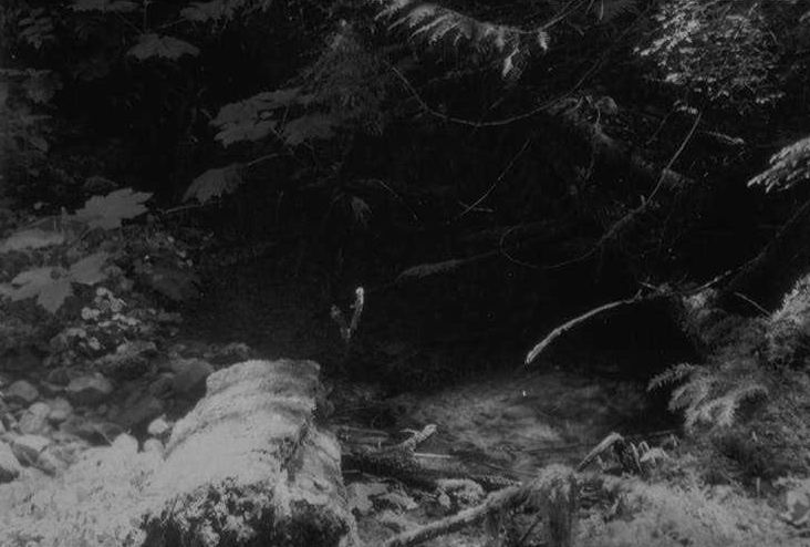
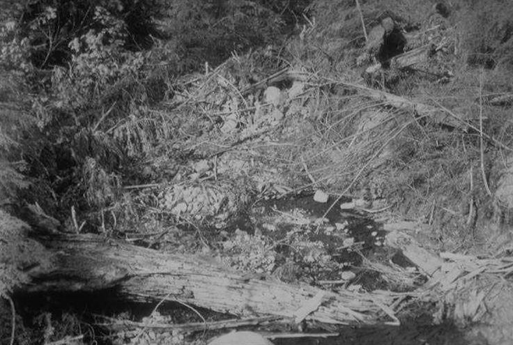
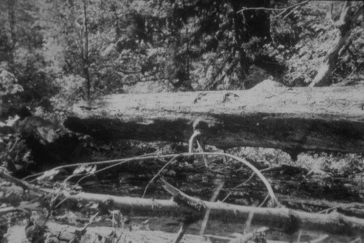
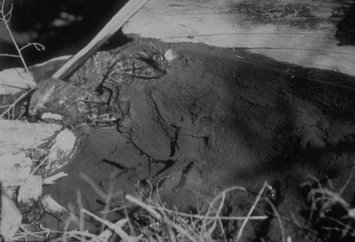
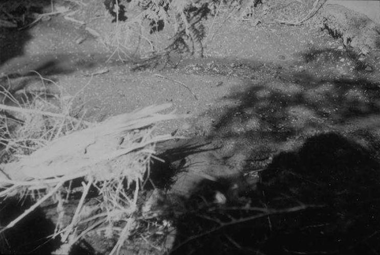
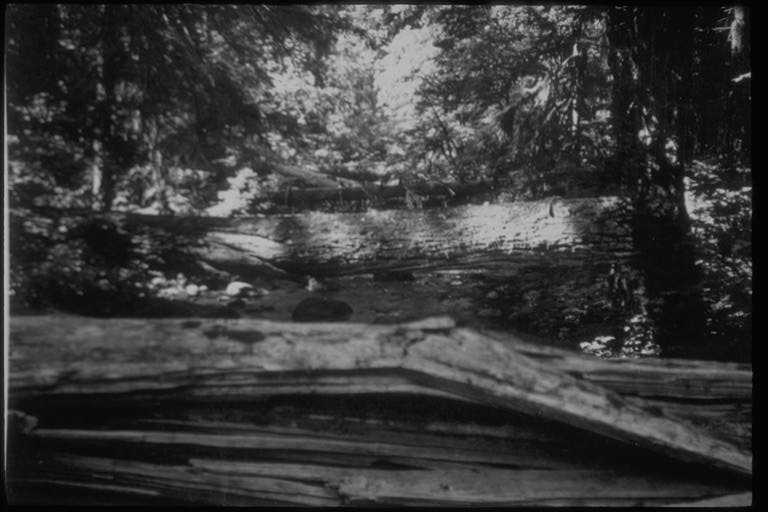
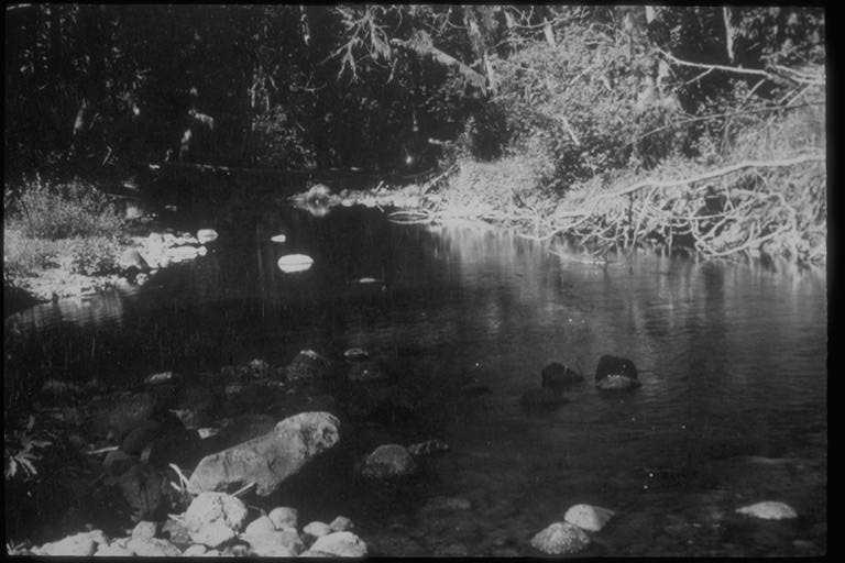
Kodak F. Bantam; Super XX; F5.6+; 1/25; Dull cloudy; 4:30 pm First pool below mouth trib. 1-4.
Photographed by Don Wustenberg ..... Date: 9/16/51 ..... Photo: AAH-003
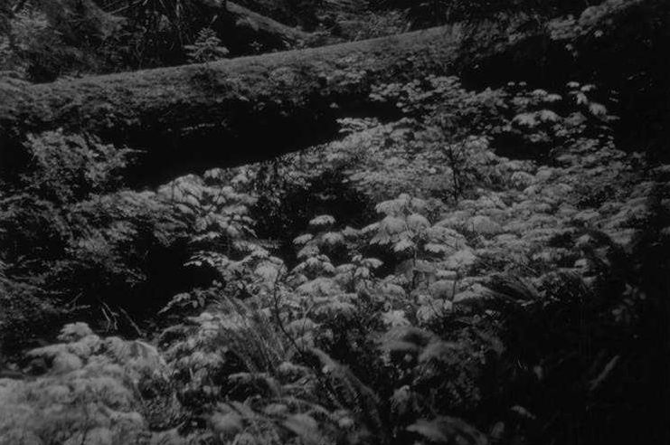
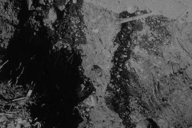
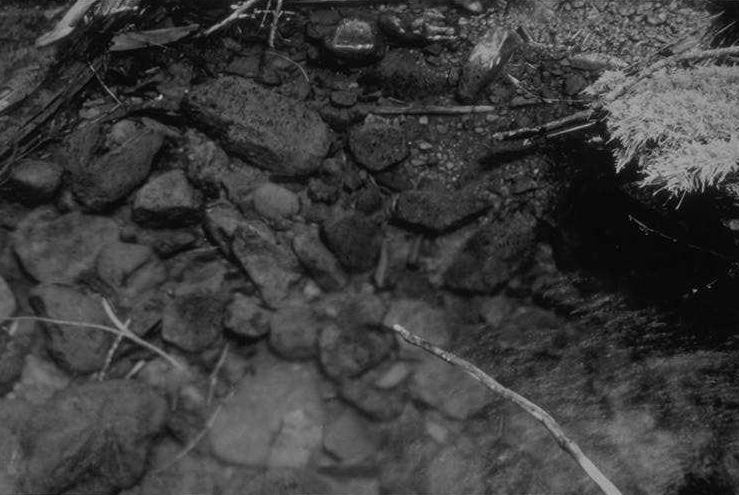
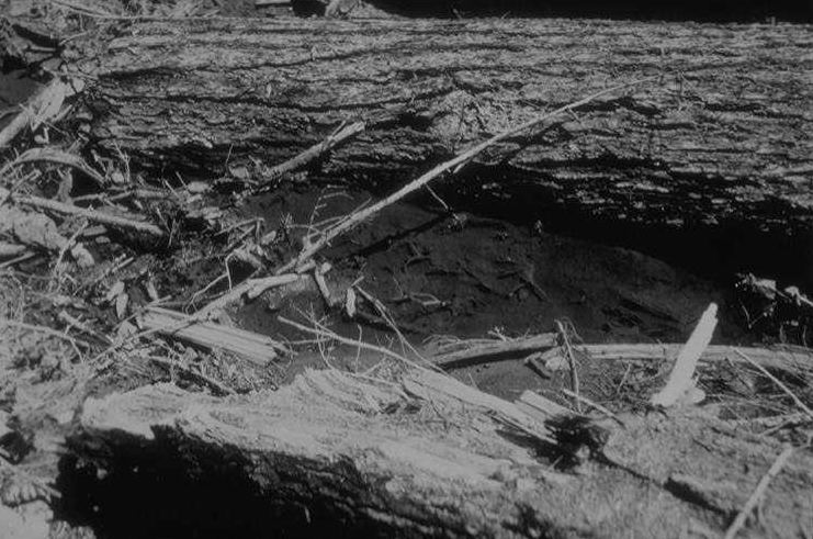
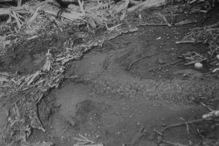
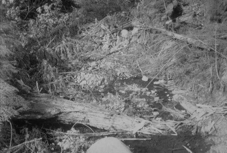
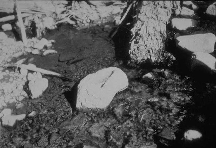
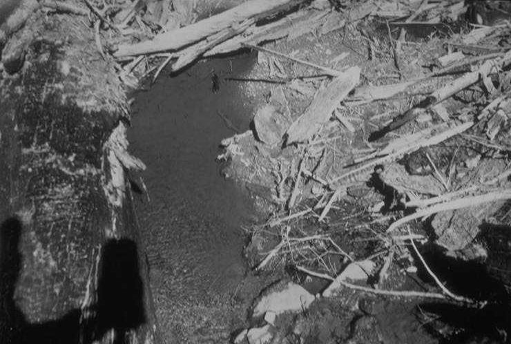
Kodak F. Bantam; Super XX; F5.6+; 1/25; Dull cloudy; 4:45 pm; ext. range 4' Shows pool at sta. 1b. Dark area right of large rock is brown colored algae.
Photographed by Don Wustenberg ..... Date: 9/16/51 ..... Photo: AAH-004
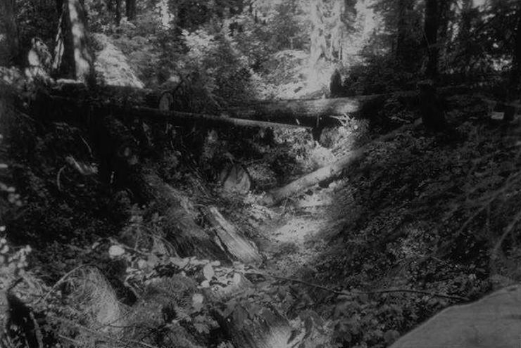
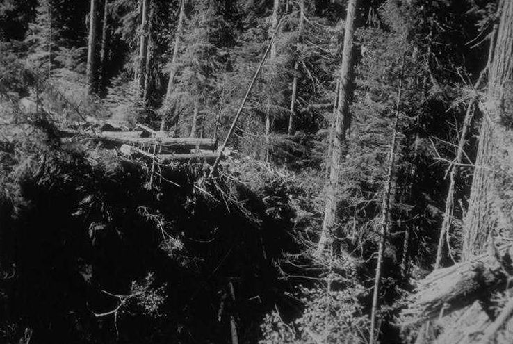
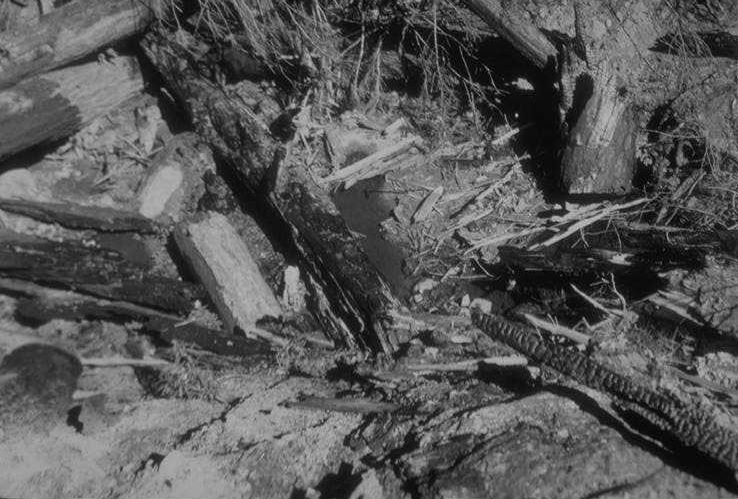
Taken from roots of tree that was head of trail. Angle downstream toward culvert. Slash burned 1 week.
Photographed by Don Wustenberg ..... Date: 9/16/51 ..... Photo: AAH-005
Kodak F. Bantam; Super XX; F8; 1/25; Bright cloudy (shadows); 5:00 pm; est. range 5-1/2' Pool left by "cat" track just below culvert on west bank. Taken to show effect of body shadow on surface reflection.
Photographed by Don Wustenberg ..... Date: 9/16/51 ..... Photo: AAH-006
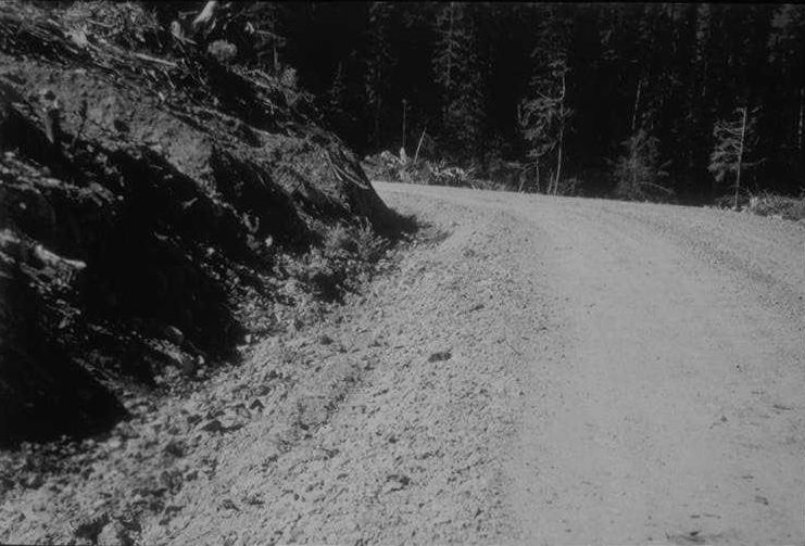
Kodak F. Bantam; Super XX; F16; 1/50; Bright sun; 1:30 pm; (K2 or color filter needed to darken Blue sky & cut haze) Taken approx. 25 yds SW of road junction.
Photographed by Don Wustenberg ..... Date: 9/17/51 ..... Photo: AAH-007
Kodak F. Bantam; Super XX; F8; 1/5; Sunny Bright day in shade; 2:30 pm Proposed road crossing from 50' upstream on west bank. Same angle as 9/17/51 [neg] #3. (Marker #1)
Photographed by Don Wustenberg ..... Date: 9/17/51 ..... Photo: AAH-008
Kodak F. Bantam; Super XX; F8; 1/25; Bright sun - in deep shade; 2:30 pm Proposed road crossing from 50' upstream on west bank. Same angle as #2. this is better of two.
Photographed by Don Wustenberg ..... Date: 9/17/51 ..... Photo: AAH-009
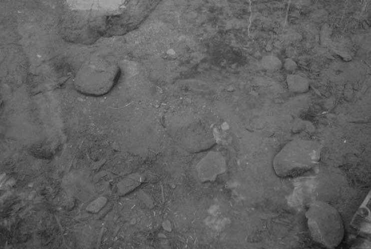
Kodak F. Bantam; (close up attach #3); Super XX; F16; 1/25; Sunny Bright - in deep shade; 3:00 pm; meas. range 48' inches (setting on camera 50') Small pool below proposed road crossing that was now dry. Contained 8 fry active on teh 11th of Sept. Situated on east branch just below fork. (Marker #2)
Photographed by Don Wustenberg ..... Date: 9/17/51 ..... Photo: AAH-010
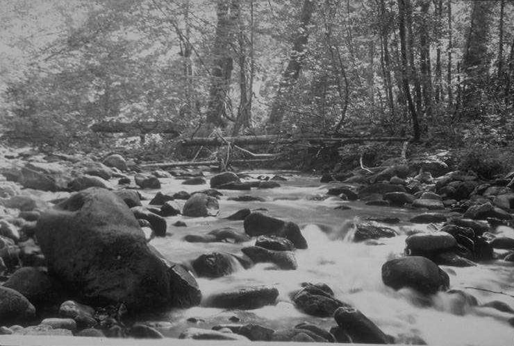
Kodak F. Bantam; Super XX; F16; 1/50; Bright sun - half in & half out of sun; 4:00 pm Shows convergence of flows at foot of island. (Marker #3)
Photographed by Don Wustenberg ..... Date: 9/17/51 ..... Photo: AAH-011

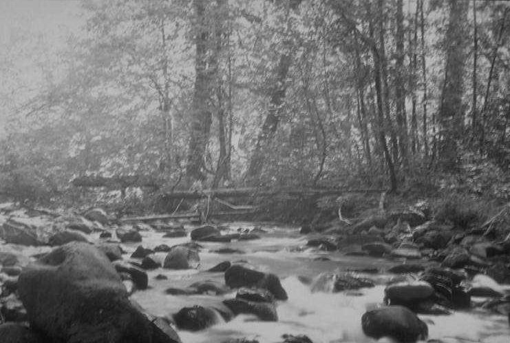
Kodak F. Bantam; Super XX; F16; 1/50; Bright sun (in deep shade); 4:15 pm Angle upstream across fish pool on south side of island. (Marker #4)
Photographed by Don Wustenberg ..... Date: 9/17/51 ..... Photo: AAH-012
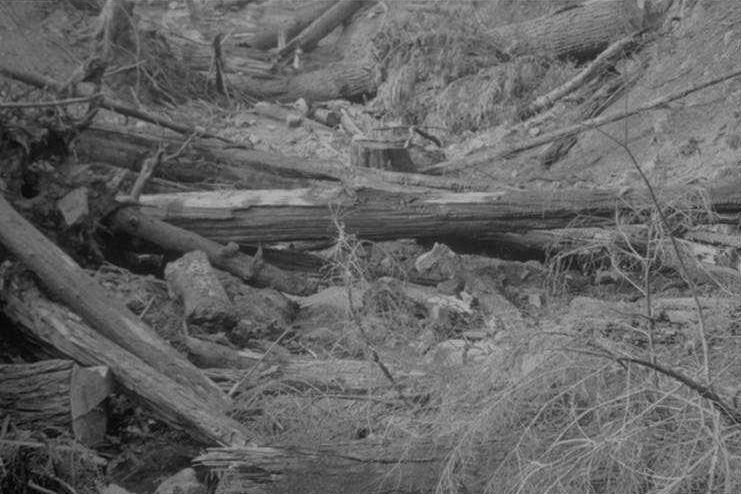
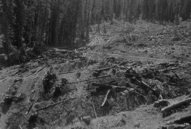
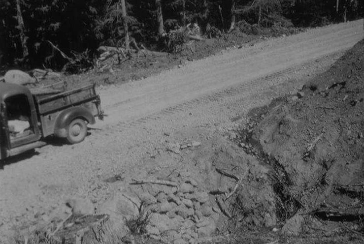
Kodak Graflex 3-1/4 x 4-1/4; Super XX; F22: 1/15; scattered clouds; 2:45 pm Showing partial damming up of stream flow during construction of road.
Photographed by Don Wustenberg ..... Date: 10/4/51 ..... Photo: AAH-013
Kodak Graflex 3-1/4 x 4-1/4; Super XX: 1/12.5: f22; scatt. clds 1/3 covered sky; 3 pm Showing clear bedrock section and road fill which did not disrupt stream channel.
Photographed by Don Wustenberg ..... Date: 10/4/51 ..... Photo: AAH-014
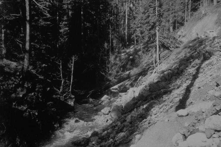
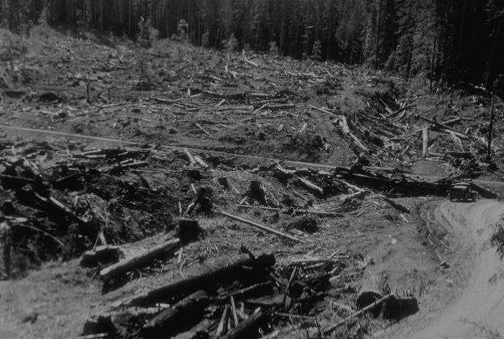
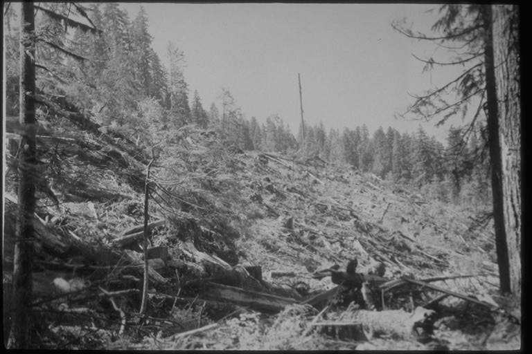
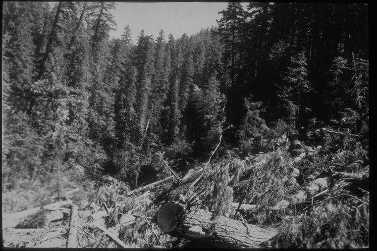
Kodak Graflex 3-1/4 x 4-1/4; K. Super XX: 1/10: f22; sky 1/4 clouds; 3 pm Taken from landing on east side of culvert. Angle down ravine. Shows this section of stream after slash has been burned short time.
Photographed by Don Wustenberg ..... Date: 10/4/51 ..... Photo: AAH-015
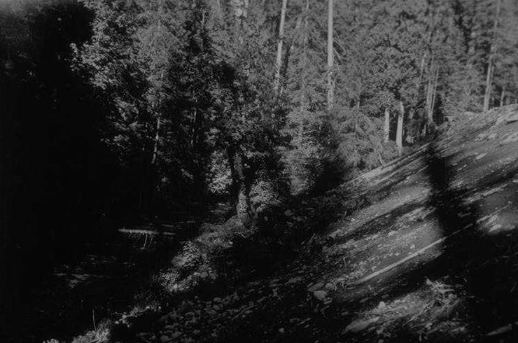
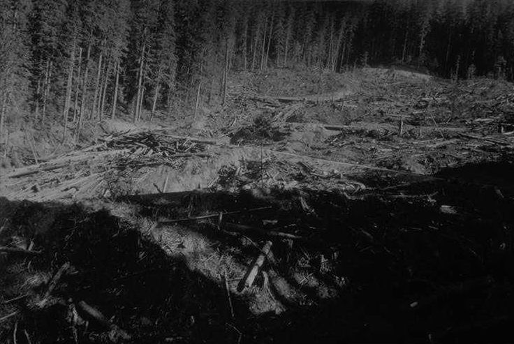
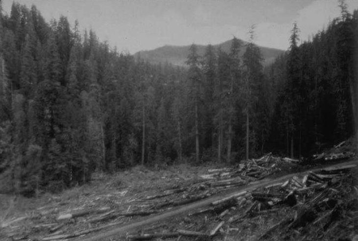
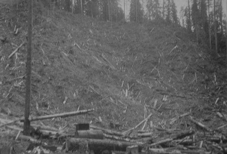
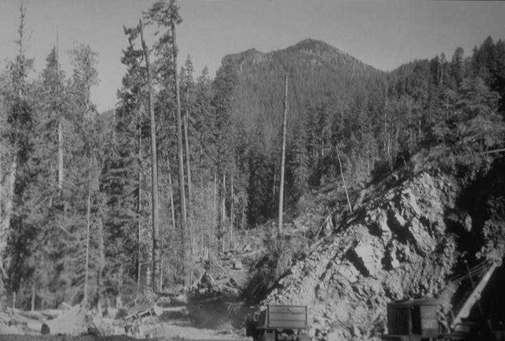
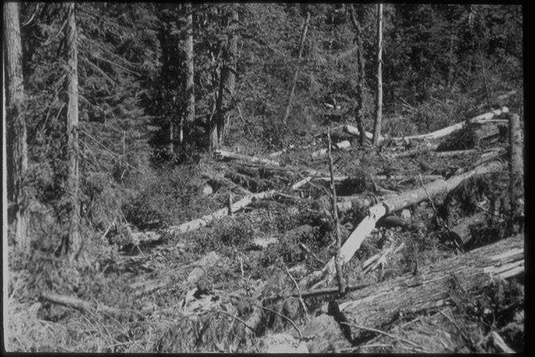
Kodak Graflex 3-1/4 x 4-1/4; K. Super XX: 1/12: f8; clear; 10:45 am Showing proposed road site after fallers have done work for pioneer road. (Taken from Stake #1, 9/17/51.)
Photographed by Don Wustenberg ..... Date: 10/5/51 ..... Photo: AAH-016
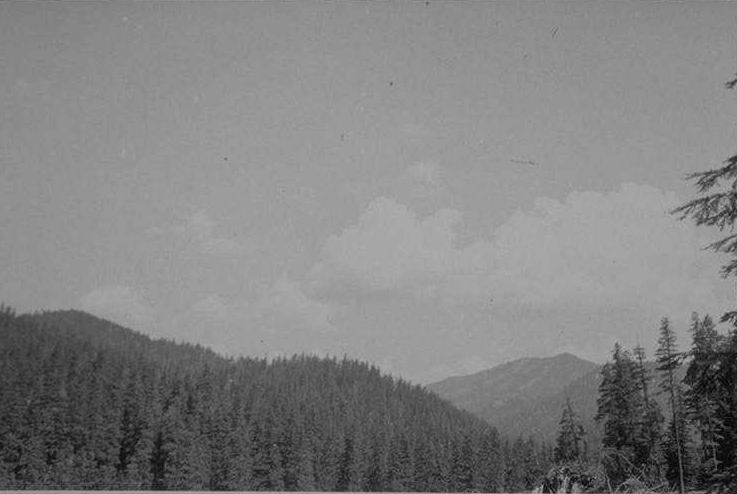
Kodak Graflex 3-1/4 x 4-1/4; K. Super XX: 1/10: f11; overcast; 1 pm Angle down Lookout Creek from pt 150' above mouth of Mack Creek
Photographed by Don Wustenberg ..... Date: 10/5/51 ..... Photo: AAH-017
Angle upstream across sta. 8b. (Paper tag #3 at Butt of tree.)
Photographed by Don Wustenberg ..... Date: 10/7/51 ..... Photo: AAH-018
Angle from up on bank above slide down ravine. (Paper tag #5 on butt of red cedar snag 4 paces to rear and left of photo pt.)
Photographed by Don Wustenberg ..... Date: 10/7/51 ..... Photo: AAH-019
Angle downstream from sta. U2D. (Paper tag #4 on limb of upper side of log.) [See CD #94 for same photo point one year later.]
Photographed by Don Wustenberg ..... Date: 10/7/51 ..... Photo: AAH-020
Angle upstream showing sta. 8b and falls from up on east bank of ravine. (Paper tag #6 on butt of small red cedar just south of tag #5.)
Photographed by Don Wustenberg ..... Date: 10/7/51 ..... Photo: AAH-021

Duplicate of CD #26 Unit 2D [L108] from north-west boundary of unit eastward showing side of cutting edge to be cut. (1 of pair with 10/8/51 #12) (Al. tag #10 on butt of Red Cedar snag at photo pt.)
Photographed by Don Wustenberg ..... Date: 10/8/51 ..... Photo: AAH-022
No description.
Photographed by Don Wustenberg ..... Date: 10/7/51 ..... Photo: AAH-023
No description.
Photographed by Don Wustenberg ..... Date: 10/7/51 ..... Photo: AAH-024
Taken from North-west boundary. Angle Eastward showing side of cutting edge to be left uncut. (AL tag #10 on butt of Red Cedar snag at photo pt.) (1 of pair with 10/8/51 #1)
Photographed by Don Wustenberg ..... Date: 10/8/51 ..... Photo: AAH-025
Duplicate of CD #22 Unit 2D [L108] from north-west boundary of unit eastward showing side of cutting edge to be cut. (1 of pair with 10/8/51 #12) (Al. tag #10 on butt of Red Cedar snag at photo pt.)
Photographed by Don Wustenberg ..... Date: 10/8/51 ..... Photo: AAH-026
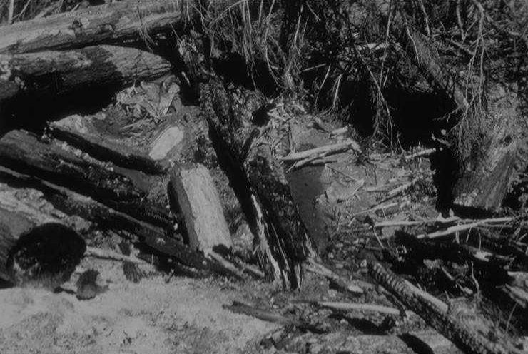
Shot of pool at sta. 7b from West bank of ravine. (Al. tag #12)
Photographed by Don Wustenberg ..... Date: 10/8/51 ..... Photo: AAH-027
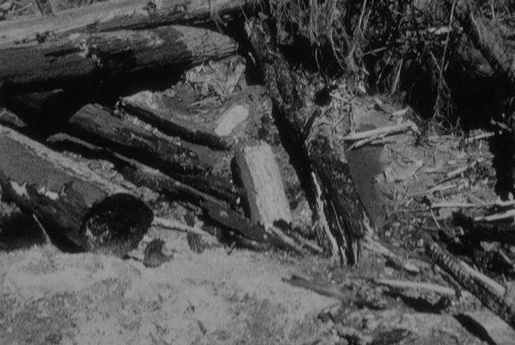
Showing forks of 7-1 and 7-2 from pt. downstream on West bank. (Joins photo 10/8/51 #3.)
Photographed by Don Wustenberg ..... Date: 10/8/51 ..... Photo: AAH-028

Taken downstream from pt. on West bank of ravine just below level of trail. (Al. tag #14 on butt of Doug. Fir on downstream side of photo pt.)
Photographed by Don Wustenberg ..... Date: 10/8/51 ..... Photo: AAH-029
Kodak Graflex 3-1/4 x 4-1/4; Ansco Supreme: f11: 1/12; hazy; 2 pm Taken from pt. below uppermost switchback. Angle downstream. Shows cat operation.
Photographed by Don Wustenberg ..... Date: 9/23/51 ..... Photo: AAH-030
Kodak Graflex 3-1/4 x 4-1/4; Ansco Supreme; 1/60; f11; Thin Haze; 4 pm Showing stream bed on upperside of culvert on road to Unit 1E [L231], where "cat" has dug bed for culvert. Angle of shot off middle of culvert down into streambed
Photographed by Don Wustenberg ..... Date: 9/23/51 ..... Photo: AAH-031
Kodak Graflex 3-1/4 x 4-1/4; Ansco Supreme; F8: 1/10; clear day; 11:30 am Angle downstream across proposed road site. (150 ft. above proposed crossing.)
Photographed by Don Wustenberg ..... Date: 9/24/51 ..... Photo: AAH-032
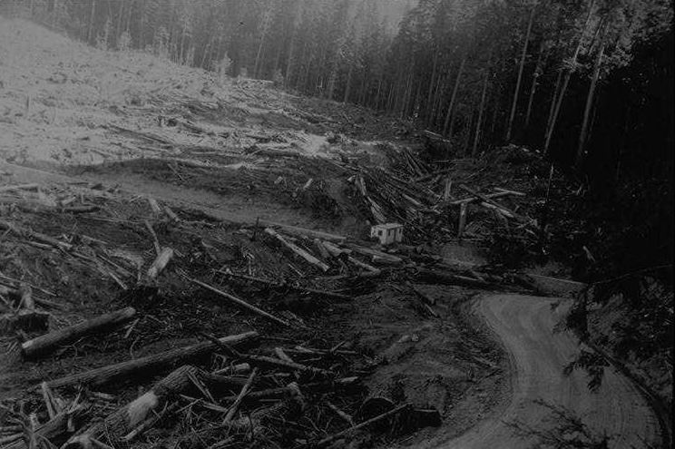
Kodak Graflex 4-1/4 x 3-1/4; Super XX: 1/12: f8; overcast; 11 am Showing proposed road culvert site after fallers have done work for pioneer road. (Taken 150' upstream from east bank.)
Photographed by Don Wustenberg ..... Date: 10/5/51 ..... Photo: AAH-033
Kodak Graflex 3-1/4 x 4-1/4; Ansco Supreme; f11: 1/12; clear day; 12:30 pm Shot of shallow pool dammed by beavers. Approx. in middle of island on a northern branch of the south channel.
Photographed by Don Wustenberg ..... Date: 9/24/51 ..... Photo: AAH-034
Kodak Graflex 3-1/4 x 4-1/4; Ansco Supreme; f22: 1/10; clear; 4 pm [See CD #37 for "after burn" comparison.]
Photographed by Don Wustenberg ..... Date: 9/24/51 ..... Photo: AAH-035
Kodak Graflex 3-1/4 x 4-1/4; Ansco Supreme; f11: 1/12; clear; 4 pm [See CD #38 for "after burn" comparison.]
Photographed by Don Wustenberg ..... Date: 9/24/51 ..... Photo: AAH-036
From stump above road just as it enters Unit 2D [L108]. [See CD #35 for "before" comparison.]
Photographed by Don Wustenberg ..... Date: 7/5/52 ..... Photo: AAH-037
From stump above road just as it enters Unit 2D [L108]. [See CD #36 for "before" comparison.]
Photographed by Don Wustenberg ..... Date: 7/5/52 ..... Photo: AAH-038
Shot just below junction of 7-1 & 7-2 taken from 20' downstream. This is end pool below sta 7b. Deeply shaded nearly all time bottom of finer texture than at 7b pool.
Photographed by Don Wustenberg ..... Date: 6/30/52 ..... Photo: AAH-039
Pool 150' below junct of 7-1 & 7-2.
Photographed by Don Wustenberg ..... Date: 6/30/52 ..... Photo: AAH-040
Approx. 200 ft. below junction of 7-1 & 7-2. Above sharp drop over caused by presence of logs in stream bed.
Photographed by Don Wustenberg ..... Date: 6/30/52 ..... Photo: AAH-041
About 75 to 100 yards above sta. 1-3a from west bank of large D. fir stump.
Photographed by Don Wustenberg ..... Date: 7/5/52 ..... Photo: AAH-042
About 75 to 100 yards above sta. 1-3a from west bank of large D. fir stump.
Photographed by Don Wustenberg ..... Date: 7/5/52 ..... Photo: AAH-043
About 75 to 100 yards above sta. 1-3a from west bank of large D. fir stump.
Photographed by Don Wustenberg ..... Date: 7/5/52 ..... Photo: AAH-044
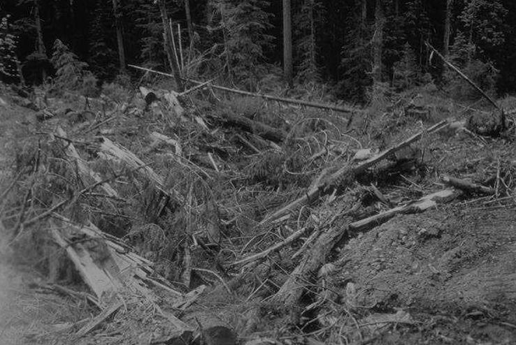
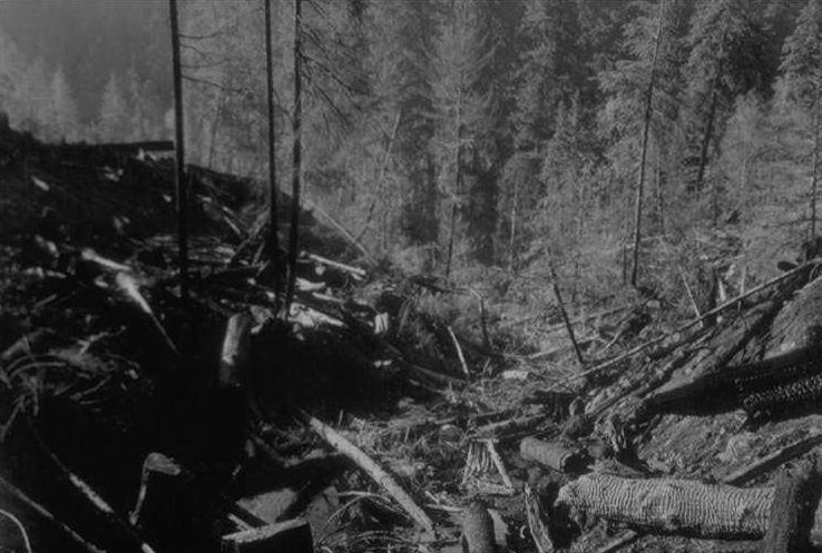
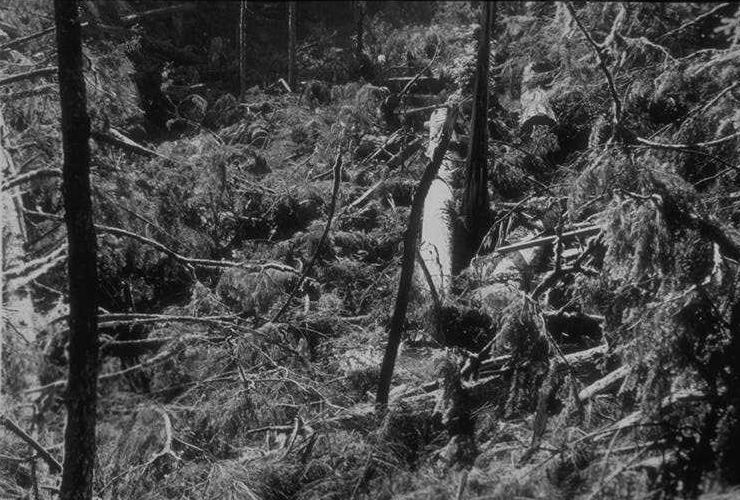
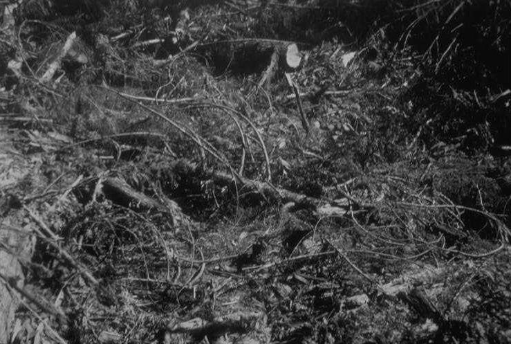
From stump on west bank of tributary just above "cat" crossing about 90 yards above road crossing. View down tributary showing slash left before slash burning.
Photographed by Don Wustenberg ..... Date: 6/8/52 ..... Photo: AAH-045

Photographed by Don Wustenberg ..... Date: 6/28/52 ..... Photo: AAH-046
Photographed by Don Wustenberg ..... Date: 6/28/52 ..... Photo: AAH-047
Photographed by Don Wustenberg ..... Date: 6/28/52 ..... Photo: AAH-048

PR Shot
Photographed by Don Wustenberg ..... Date: 6/28/52 ..... Photo: AAH-049
Three photo series from rt. to left of north cutting boundary of Unit 2A [L104]. Taken from just below top edge of ridge and abt. 50 yds east from tributary in west 2A [L104]. (see CD #51 & 52)
Photographed by Don Wustenberg ..... Date: 6/28/52 ..... Photo: AAH-050
Three photo series from rt. to left of north cutting boundary of Unit 2A [L104]. Taken from just below top edge of ridge and abt. 50 yds east from tributary in west 2A [L104]. (see CD #50 & 52)
Photographed by Don Wustenberg ..... Date: 6/28/52 ..... Photo: AAH-051

Three photo series from rt. to left of north cutting boundary of Unit 2A [L104]. Taken from just below top edge of ridge and abt. 50 yds east from tributary in west 2A [L104]. (see CD #50 & 51)
Photographed by Don Wustenberg ..... Date: 6/28/52 ..... Photo: AAH-052

Shot up trib. "west 2a" from cat crossing about 100 yds above road crossing. Taken from 5' Doug Fir stump on west bank of trib. just above cat crossing. Shows disrupted section of creek where almost no organisms could be found.
Photographed by Don Wustenberg ..... Date: 6/28/52 ..... Photo: AAH-053
Taken from 5' Doug Fir stump on west bank of trib. - down into pool caused by disruption. Just above cut crossing.
Photographed by Don Wustenberg ..... Date: 6/28/52 ..... Photo: AAH-054

Taken from 5' Doug Fir stump on west bank of trib. Shows cat crossing and resultant pool in trib "west 2a."
Photographed by Don Wustenberg ..... Date: 6/28/52 ..... Photo: AAH-055
Shot across upstream cutting boundary of trib "west 2a" from above boundary. Shows natural condition immediately above boundary & sunny condition below. At 4p.m.
Photographed by Don Wustenberg ..... Date: 6/28/52 ..... Photo: AAH-056
Shot up trib "west 2a" from upstream cutting boundary to show natural condition of stream bottom.
Photographed by Don Wustenberg ..... Date: 6/28/52 ..... Photo: AAH-057
This photo is accompanied by CD #59. This right shot has been all yarded.
Photographed by Don Wustenberg ..... Date: 6/28/54 ..... Photo: AAH-058

This photo is accompanied by CD #58. This left shot shows an unyarded portion.
Photographed by Don Wustenberg ..... Date: 6/28/54 ..... Photo: AAH-059
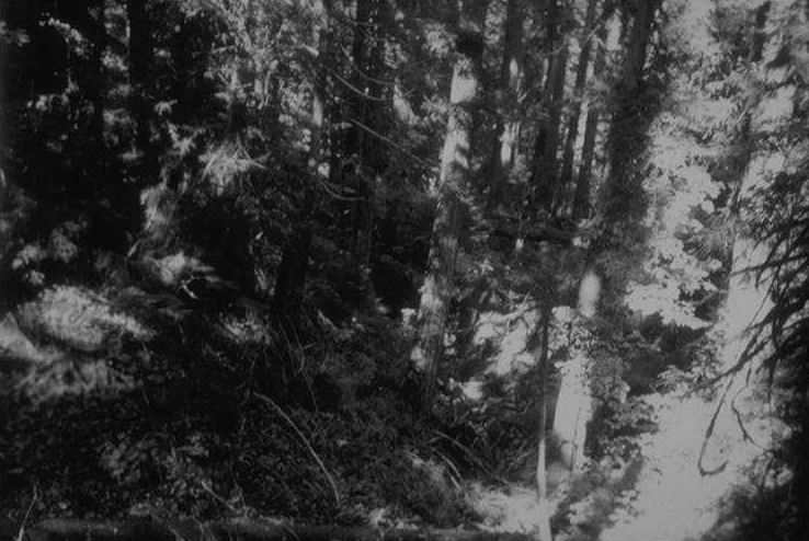
No description.
Photographed by Don Wustenberg ..... Date: 6/28/52 ..... Photo: AAH-060
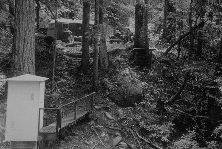
View of upstream side of culvert taken from on west bank at marked camera pt.
Photographed by Don Wustenberg ..... Date: 9/11/52 ..... Photo: AAH-061
View from culvert down into tributary below culvert showing debris left by culvert-installing operation. (The darker negative of the two exposed [CD #62] was taken with the shutter too open by 4 F stops.) Pola-screen used.
Photographed by Don Wustenberg ..... Date: 9/11/52 ..... Photo: AAH-062
View from culvert down into tributary below culvert showing debris left by culvert-installing operation. (The darker negative of the two exposed [CD #62] was taken with the shutter too open by 4 F stops.) Pola-screen used.
Photographed by Don Wustenberg ..... Date: 9/11/52 ..... Photo: AAH-063
View of upper side of culvert over main tributary from east bank. The type of rock retainer wall shown was often used to save on metal culvert pipe. They frequently gave way during the first rains following construction, and considerable material was then introduced into the stream beds.
Photographed by Don Wustenberg ..... Date: 9/11/52 ..... Photo: AAH-064

Tub experiment in Unit 1-C [L103] (H.J. Andrews E.F.) showing how water obtains and loses heat. Insulation from ground heat and shade were used to obtain data. Thermographs kept continuous records. Middle tub was insulated.
Photographed by Don Wustenberg ..... Date: 9/11/52 ..... Photo: AAH-065
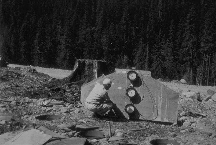
Tub experiment in Unit 1-C [L103] (H.J. Andrews E.F.) showing how water obtains and loses heat. Insulation from ground heat and shade were used to obtain data. Thermographs kept continuous records. Middle tub was insulated.
Photographed by Don Wustenberg ..... Date: 9/11/52 ..... Photo: AAH-066
Tub experiment in Unit 1-C [L103] (H.J. Andrews E.F.) showing how water obtains and loses heat. Insulation from ground heat and shade were used to obtain data. Thermographs kept continuous records. Middle tub was insulated.
Photographed by Don Wustenberg ..... Date: 9/11/52 ..... Photo: AAH-067

Tub experiment in Unit 1-C [L103] (H.J. Andrews E.F.) showing how water obtains and loses heat. Insulation from ground heat and shade were used to obtain data. Thermographs kept continuous records. Middle tub was insulated.
Photographed by Don Wustenberg ..... Date: 9/11/52 ..... Photo: AAH-068

Temporary log bridge constructed across Lookout Ck. just above the pool in which the seining was conducted.
Photographed by Don Wustenberg ..... Date: 9/11/52 ..... Photo: AAH-069
View from culvert over tributary in the western part of Unit 2A [L104], taken after logging and before slash burning to show the amount of slash left above the culvert.
Photographed by Don Wustenberg ..... Date: 9/11/52 ..... Photo: AAH-070
Lookout Creek below downstream cutting boundary of Unit 2A [L104] (from old marked camera pt.). View from old camera pt. up southern channel, which was cutting boundary showing added sunlight following logging. (for comparison with previous photo)
Photographed by Don Wustenberg ..... Date: 9/13/52 ..... Photo: AAH-071
View upstream of lower end of island taken from same marked camera pt. used for previous photo. Just swung camera to left to show vegetation left on island to protect the north channel from sun's rays and logging disturbance. North channel carried most of water.
Photographed by Don Wustenberg ..... Date: 9/13/52 ..... Photo: AAH-072

After logging and before experimental use.
Photographed by Don Wustenberg ..... Date: 9/13/52 ..... Photo: AAH-073
View of beaver pond in southern channel of Lookout Creek below Unit 2A [L104]. Taken from camera pt. established in 1951, and shows presence of snags fallen in area near unit. The snags were fallen across Lookout Creek in many cases.
Photographed by Don Wustenberg ..... Date: 9/13/52 ..... Photo: AAH-074
In Unit 1C [L103], 25 feet below culvert from west bank in late afternoon. Shows area where silt has been partly washed away by current. The silt free area in foreground contained a multitude of very small immature insect forms at the time the photo was taken.
Photographed by Don Wustenberg ..... Date: 9/13/52 ..... Photo: AAH-075
Taken of pool 35 feet below culvert, and 10 feet below previous photo of silt free area. Shows silted pool formed by slash lodging in streambed to form dam which decreases velocity, which caused particles to settle out. A comparison of this photo with previous one shows how some areas recover soon and others nearby in same stream do not.
Photographed by Don Wustenberg ..... Date: 9/13/52 ..... Photo: AAH-076
View of pool in trib 1-4 about 90 feet below culvert at station 1-4r.
Photographed by Don Wustenberg ..... Date: 9/15/52 ..... Photo: AAH-077
Taken along road between trib 1-3 and trib 1-4 on 3rd switchback from bottom. View toward trib 1-3. Shows ditch constructed on uphill side of road to carry water during rain.
Photographed by Don Wustenberg ..... Date: 9/15/52 ..... Photo: AAH-078
This photo is accompanied by CD #80. Two views of road drainage shown in previous photo [CD #78] entering trib. 1-3 in Unit 1D [L201].
Photographed by Don Wustenberg ..... Date: 9/15/52 ..... Photo: AAH-079
This photo is accompanied by CD #79. Two views of road drainage shown in previous photo [CD #78] entering trib. 1-3 in Unit 1D [L201].
Photographed by Don Wustenberg ..... Date: 9/15/52 ..... Photo: AAH-080

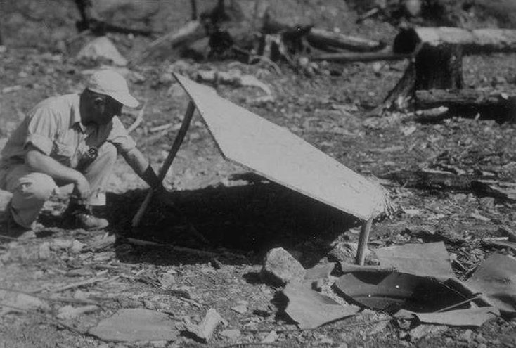
Shows series of terraced pools formed in this very small flow. Very little of the type of insect life found in undisturbed flows of this size was found here.
Photographed by Don Wustenberg ..... Date: 9/15/52 ..... Photo: AAH-081
Taken from large fir stump on west bank about 75' below culvert showing trib 1-4 below stump. An extremely silted pool is shown. Insect production in mud bottom was nil, unless burrowing mud forms were present that couldn't be seen from the surface. The conventional types were totally missing. (Closeup of pool shown in next shot. [CD #83])
Photographed by Don Wustenberg ..... Date: 9/15/52 ..... Photo: AAH-082
Closeup view of pool in previous photo [CD #82]. The partially silt free area shown in the foreground is the fiffle leading into the pool. Here these were a few immatures, consisting of caddis pupae and some naiad with their gills all coated with flocculent material.
Photographed by Don Wustenberg ..... Date: 9/15/52 ..... Photo: AAH-083
"1 year later" shot of pool to match 1951 photo taken of tributary one from the west bank just below the mouth of the eastern most tributary (trib 1-4) joining here. Shows a big increase in amt of siltation in one year at this point in stream.
Photographed by Don Wustenberg ..... Date: 9/15/52 ..... Photo: AAH-084
This photo is accompanied by CD #86. Two views up Lookout Creek from a point in Lookout Creek opposite the downstream cutting boundary of Unit 1C [L103]. Shows relatively small amount of damage down to main stream when streamside corridor of trees is left. (Should be a "before" photo of this area.)
Photographed by Don Wustenberg ..... Date: 9/15/52 ..... Photo: AAH-085
This photo is accompanied by CD #85. Two views up Lookout Creek from a point in Lookout Creek opposite the downstream cutting boundary of Unit 1C [L103]. Shows relatively small amount of damage down to main stream when streamside corridor of trees is left. (Should be a "before" photo of this area.)
Photographed by Don Wustenberg ..... Date: 9/15/52 ..... Photo: AAH-086

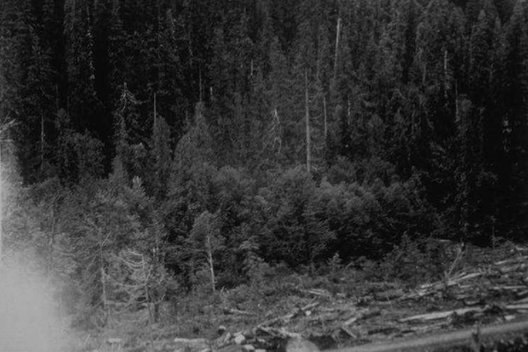
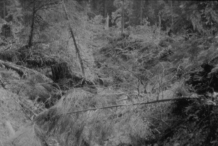
Tributary 7 (just inside west cutting boundary.) From west bank of tributary 7 just downstream from where station 7b used to be, showing view downstream toward Lookout Creek and across area where gravel pit was blasted over the tributary. (Should be a "before" photo of this area.)
Photographed by Don Wustenberg ..... Date: 9/15/52 ..... Photo: AAH-087
From same pt. as previous photo [CD #87] with camera rotated to show upstream view of trib. 7 across trib 7-1 and trib 7-2. Shows condition of area after falling and before yarding. (Should be a "before" photo of this too.)
Photographed by Don Wustenberg ..... Date: 9/15/52 ..... Photo: AAH-088
From same spot as previous 2 photos [CD #87 & 88] (west bank near station 7b.) showing view down into tributary seven. Not much water visible here now. Photo taken after yarding & before slash burning.
Photographed by Don Wustenberg ..... Date: 9/15/52 ..... Photo: AAH-089

This shot is similar to CD #91. Taken from point above lower road where it enters Unit 2D [L108] from west. Shows view to east from north west corner of unit. Shows leave-strip of timber paralleling Lookout Creek. Shows how gravel pit was formed by blasting rock cliff over tributary.
Photographed by Don Wustenberg ..... Date: 9/15/52 ..... Photo: AAH-090
This shot is similar to CD #90. Taken from point above lower road where it enters Unit 2D [L108] from west. Shows view to east from north west corner of unit. Shows leave-strip of timber paralleling Lookout Creek. Shows how gravel pit was formed by blasting rock cliff over tributary.
Photographed by Don Wustenberg ..... Date: 9/15/52 ..... Photo: AAH-091
This photo is accompanied by CD #93. 2 photos taken from the north east corner of Unit 2D [L108] westward along cutting boundary. Place prints together for panoramic view.
Photographed by Don Wustenberg ..... Date: 9/17/52 ..... Photo: AAH-092
This photo is accompanied by CD #93. 2 photos taken from the north east corner of Unit 2D [L108] westward along cutting boundary. Place prints together for panoramic view.
Photographed by Don Wustenberg ..... Date: 9/17/52 ..... Photo: AAH-093
Shot off log down Lookout Creek near upstream cutting boundary of Unit 2D [L108] showing undisturbed condition of main stream due to the leaving of a streamside corridor. (Should be a 1951 photo to match. [CD #20])
Photographed by Don Wustenberg ..... Date: 9/17/52 ..... Photo: AAH-094

From 100' above station L2E at downstream cutting boundary. View is up Lookout Creek following falling. There is a "before" photo to match this.
Photographed by Don Wustenberg ..... Date: 9/17/52 ..... Photo: AAH-095
From upon hillside in Northwest corner of Unit 2E [L109]. Shows a fallen portion of Unit 2E [L109] and an uncut position in background. The shade (soon to be removed), afforded Lookout Creek by the uncut timber shows in the bottom of the ravine.
Photographed by Don Wustenberg ..... Date: 9/17/52 ..... Photo: AAH-096
From same pt. as previous photo. Shows view down into Lookout Creek. Not much timber was fallen across Lookout Creek even though there was no natural shelf to "lay" it on. Shows what can be done.
Photographed by Don Wustenberg ..... Date: 9/17/52 ..... Photo: AAH-097
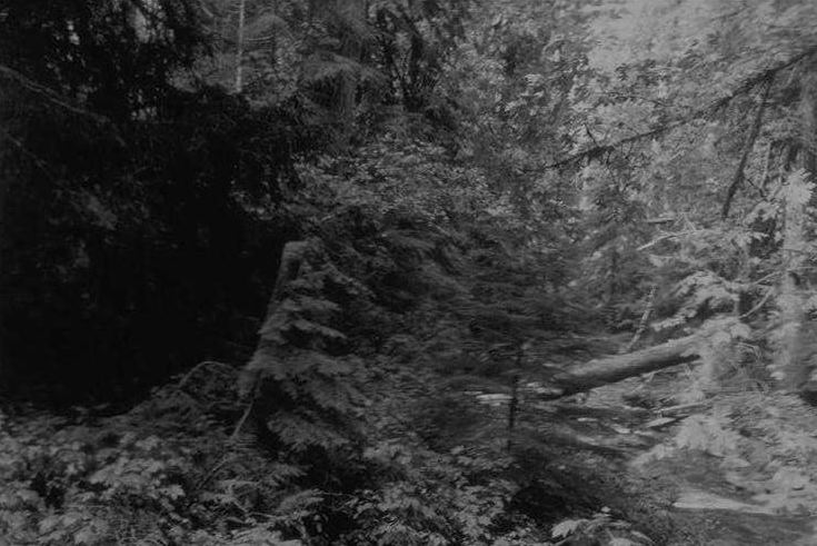
No description, no date
Photographed by Don Wustenberg ..... Date: Unknown..... Photo: AAH-098
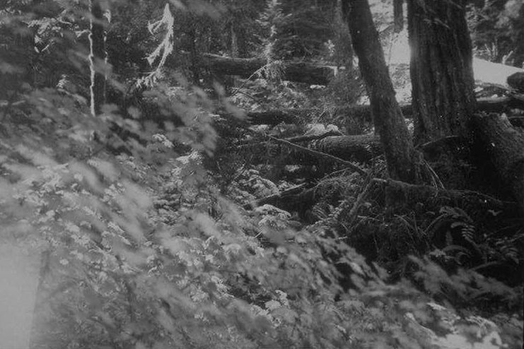
No description, no date
Photographed by Don Wustenberg ..... Date: Unknown..... Photo: AAH-099
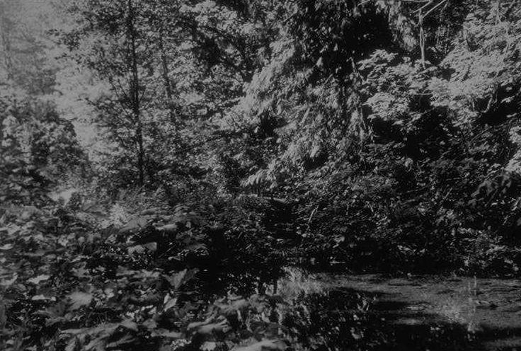
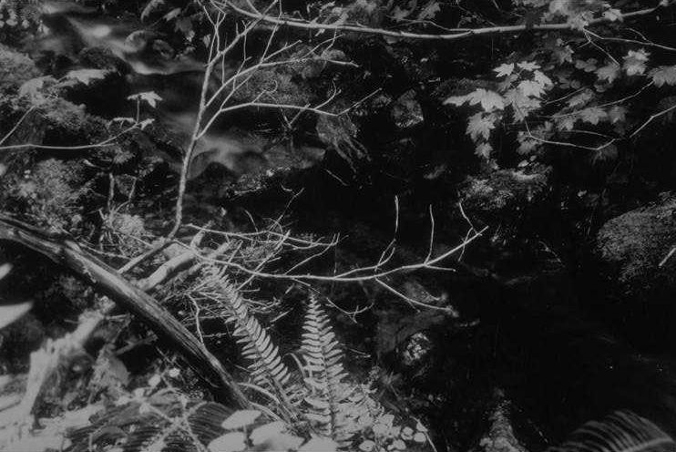
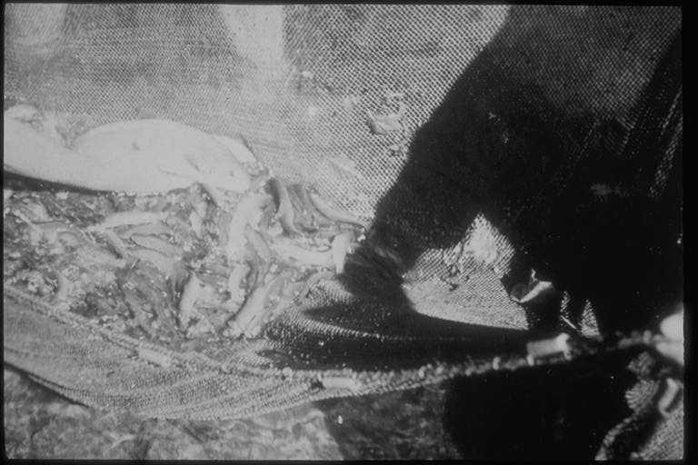
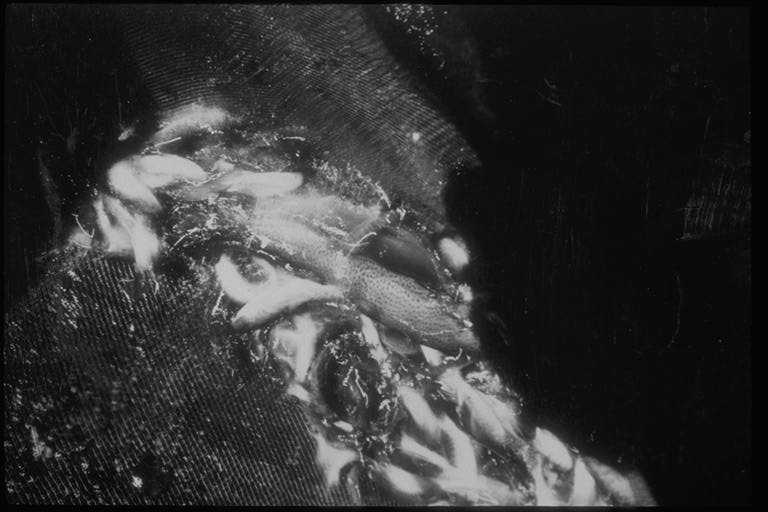
Lookout Creek approximately one fourth mile downstream from Unit 2a [L104] showing upstream view of pool in which seining was done.
Photographed by Don Wustenberg ..... Date: 9/17/51 ..... Photo: AAH-100